

Wilderness

Wilderness
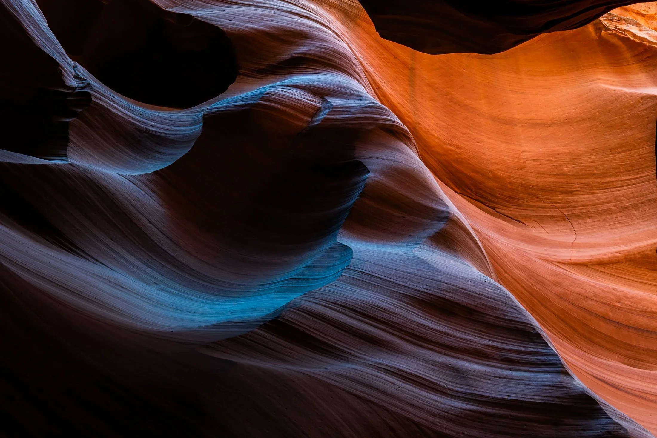
Antelope Canyon, located in northern Arizona within the Navajo Nation right outside the town of Page, is one of the most picturesque slot canyons in the world. Running over 23 miles, it was formed over millennia through consistent erosion, primarily through the actions of flash floods that sculpt the sandstone rock into smooth, undulating forms.
Having traveled to Page numerous times, I had always opted for Buckskin Gulch, another slot canyon in the area that resides on BLM land and does not require a paid tour. My fourth time in the area I decided to partake on a tour and the views did not disappoint. Guided by a local Diné (Navajo) tour guide, I was entreated to various stories of Navajo belief as well as given a private photography tour of the canyons.
The canyons continually conceal and reveal form throughout the day, as the sun follows its path across the sky. My tour followed a relatively short section of the greater Antelope Canyon, and yet I found I could have spent days here and never arrive at the same photo twice. This abstract section reinforces the stunning tonality and color nature creates in the shade of these canyons.
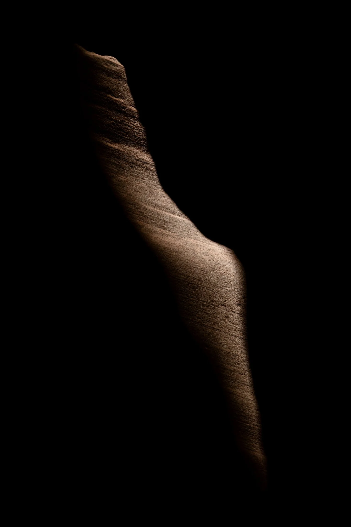
Buckskin Gulch, located in the Paria Canyon-Vermilion Cliffs Wilderness area, is the longest and deepest slot canyon in United States and possibly the world.
Marked by their sinuous carved rock, typically sandstone, slot canyons are often formed through water erosion over long periods of time. Flash floods are what make these strikingly beautiful canyons also some of the most dangerous to hike, with the runoff from a storm ten miles away potentially leading to the canyon on a day with clear skies.
These walls form their own abstract art where light reveals and conceals form, changing each minute with the path of the sun. On my third venture into this slot canyon, the light caught this particular patch of sandstone highlighting its sinuous nature allowing for an eerie contemplation of the form itself.
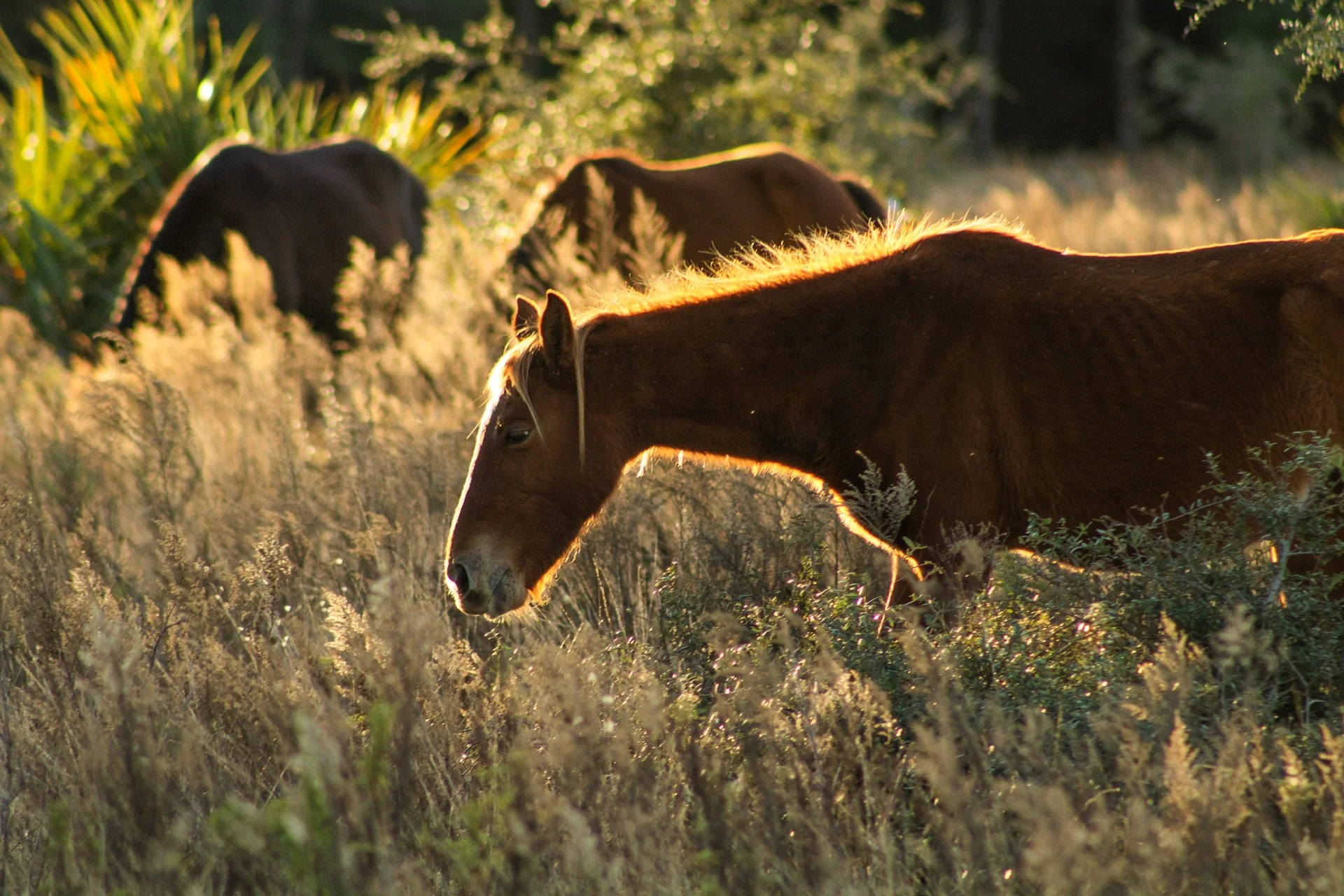
Cumberland Island National Seashore, located near St. Marys, Georgia, is a pristine 18 mile stretch of undeveloped wilderness unique to the East Coast. The island is known for its feral horses, possibly left over from the Spaniards during the 1700s.
The island has a long history, and was once owned by the Carnegie Family who then dedicated the island to the National Park Service in 1972. The island has faced various threats to its wilderness status over the years and has been defended through the continuous efforts of Carol Ruckdeschel, one of the few persons allowed to live on the island.
Heading out from my backcountry campsite to a small airplane landing strip, this area is frequented by the wild horses (technically feral) of the island. I was able to observe this group of horses grazing in golden hour light highlighting the area’s beauty as well as their complicated existence.
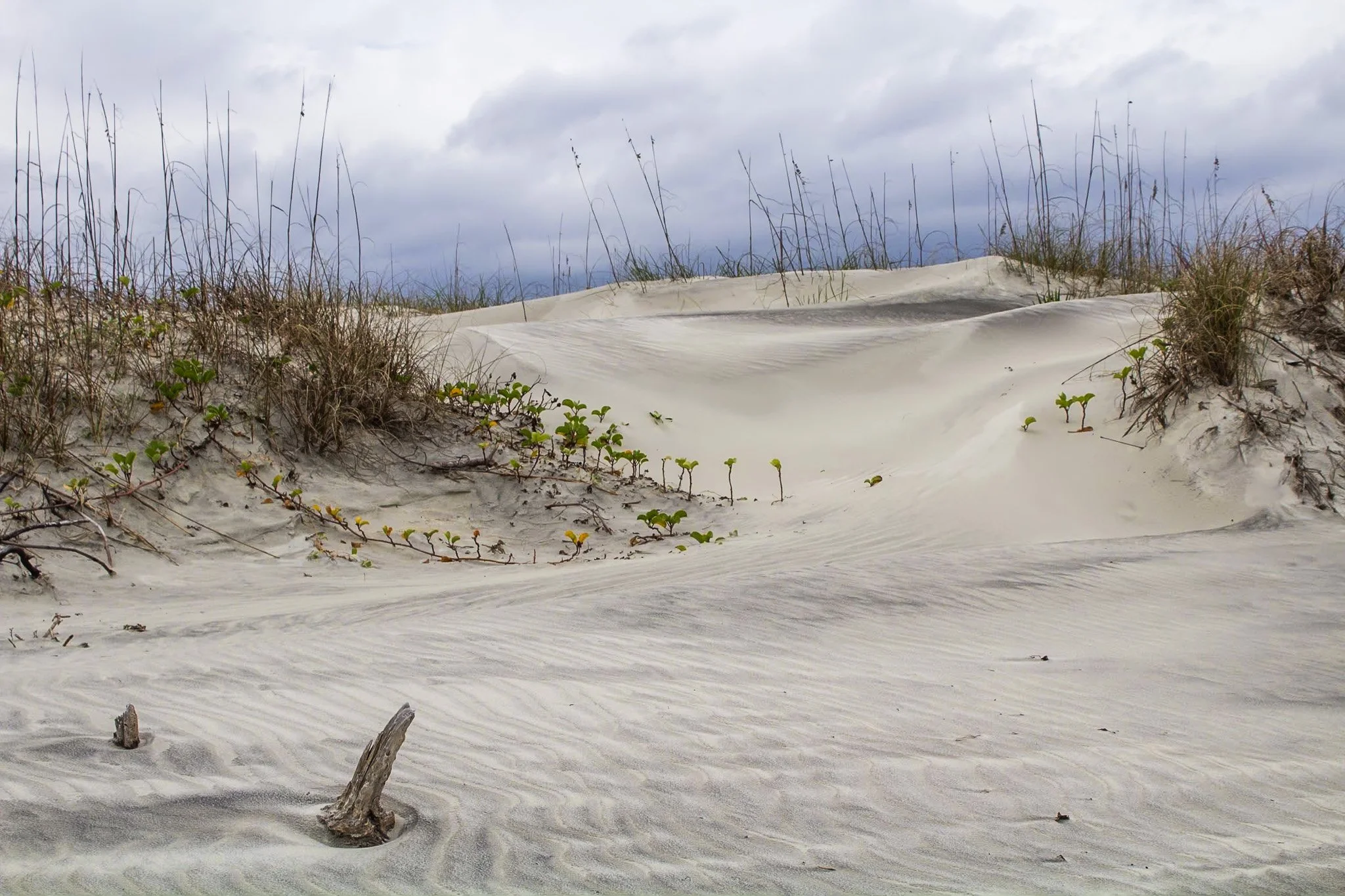
This photo was from my first visit to Cumberland Island National Seashore, located on the border of Georgia and Florida with access via a Ferry from St. Marys, Georgia. I would revisit this same island four years later, affording me the opportunity to finally explore all 18 miles of it.
The beach here is pristine, a stark comparison to the islands directly north and south of it which have been developed for residential and tourist activities. The island has faced various threats to its wilderness status and has been defended through the constant efforts of Carol Ruckdeschel, one of the few persons permitted to live on the island, and who I had the pleasure of meeting randomly on my second visit.
This photo was taken in the early morning on an overcast day following my sunrise shoot, and the feel of this specific patch of sprawling dunes system felt like something out of a painting.

Buckskin Gulch, located in the Paria Canyon-Vermilion Cliffs Wilderness area, is the longest and deepest slot canyon in United States and possibly the world.
Marked by their sinuous carved rock, typically sandstone, slot canyons are often formed through water erosion over long periods of time. Flash floods are what make these strikingly beautiful canyons also some of the most dangerous to hike, with the runoff from a storm ten miles away potentially leading to the canyon on a day with clear skies.
These walls form their own abstract art where light reveals and conceals form, changing each minute with the path of the sun. This patch in particular caught my eye, not only for its abstract nature, but the small patch of life growing along its walls.
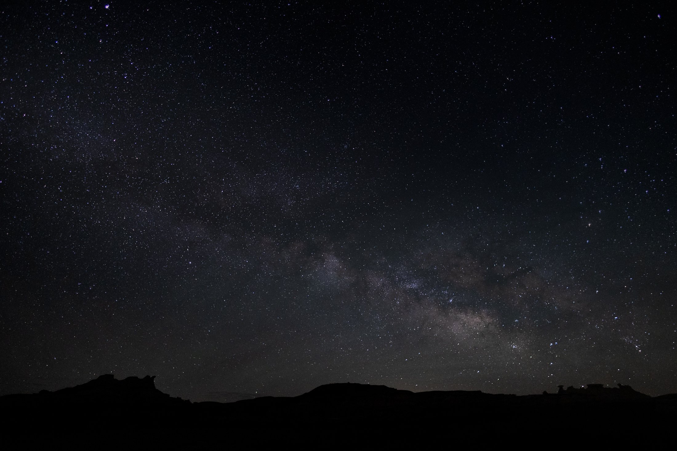
The Bisti Badlands are a remote and alien world in northwest New Mexico situated in the Bisti/De-Na-Zin Wilderness, an area protected by the Bureau of Land Management.
The name comes from the Dinë (Navajo) word “Bistahi” translating roughly to “among the adobe formations”. The wind-formed hoodoos in this region are numerous leading to bizarre formations, varied colors, and precariously balanced rocks. The area doubles as a designated dark sky territory providing an unpolluted night sky.
This was my second time visiting this desolate world, and this time I backpacked in at sunset and spent the entire night photographing around camp, using my headlamp to paint the rocks. Finally, late into the night, the Milky Way became visible with the naked eye, and this silhouette of the landscape perfectly framed our beautiful galaxy. It was a stunning sight.

The Grand Staircase-Escalante National Monument region is renowned for its expansive layers of sedimentary rock, shaped over millions of years by wind, water, and tectonic activity.
Visitors to the area encounter a breathtaking variety of rock features, including narrow slot canyons, towering cliffs, slick rock domes, and natural arches. These rocks not only define the physical character of the region but also serve as a natural record of Earth’s history.
This photograph was taken due to the need to escape the intense heat of the area, finding refuge in this little pocket of rock, providing important shade. This shade was a full 30 degree cooler from that of the exposed sun. While lying on a large slab of broken rock, the view above was an abstract wonder, only needing the right framing.

Cumberland Island National Seashore is a pristine 18 mile stretch of undeveloped wilderness unique to the East Coast.
The island has a long history, and was once owned by the Carnegie Family who then dedicated the island to the National Park Service in 1972. The island has faced various threats to its wilderness status and has been defended through the efforts of Carol Ruckdeschel, one of the few persons allowed to live on the island.
While wandering back to my campsite coming from the deserted airstrip strewn with feral horses, I found this scarlet sunset right across from my campsite, the clouds accentuated by the pointing fingers of the tall Loblolly Pines prevalent on the island.

Cumberland Island National Seashore, located near St. Marys, Georgia, is a pristine 18 mile stretch of undeveloped wilderness unique to the East Coast. The island is known for its feral horses, possibly left over from the Spaniards during the 1700s.
The island has a long history, and was once owned by the Carnegie Family who then dedicated the island to the National Park Service in 1972. The island has faced various threats to its wilderness status over the years and has been defended through the continuous efforts of Carol Ruckdeschel, one of the few persons allowed to live on the island.
I arrived at Plum Orchard Mansion for a tour of the defunct Carnegie mansion dedicated in 1898. The area is frequented by the wild horses (technically feral) of the island. I was lucky enough to capture this black stallion bathed in light, highlighting its beauty if not also its complicated existence.
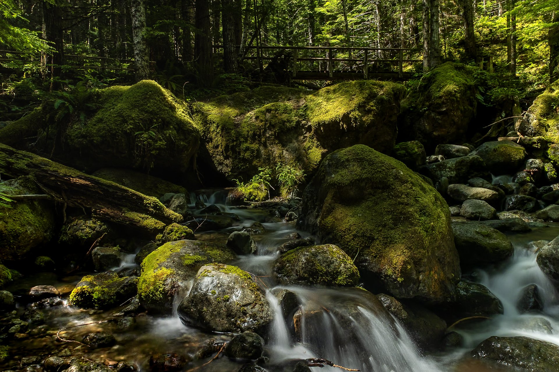
The Staircase area of Olympic National Park is a lesser known area of the park, tucked away along the southeastern edge of the park, near Lake Cushman. It’s known for old-growth forest, moss-draped trees, and multiple rivers flowing through.
This was my third time to Olympic National park and each trip continues to reveal more of its beauty. I stayed in a tiny home near Lake Cushman, which offered early morning access to the trails in the surrounding area.
This particular photo was taken on the Staircase Rapids Loop which follows the Skokomish River through the dense rainforest. Capturing both the cascade and one of the countless bridges crossing the river puts on display the sheer amount of greenery to be found in the only rainforest in the lower 48.

The South Coast Wilderness Trail is a stunning, rugged, and truly wild 17 mile one-way hike through Olympic National Park. One of the last undeveloped coastlines in the contiguous United States, Olympic’s protection status ensures native species like sea otters, bald eagles, bears, and migrating whales will continue to thrive in this pristine wilderness.
Switching between stretches of picturesque coast and dense rainforest, the trek (which is at sea level) entails 2,000 feet in elevation change, due to the use of ladders and ropes to maneuver up and down coastal embankments.
After setting up camp, I descended a very steep sand embankment via a rope wrapped around a tree to reach this secluded beach. It was a peaceful moment photographing these majestic sea stacks at sunset alone on this pristine beach.
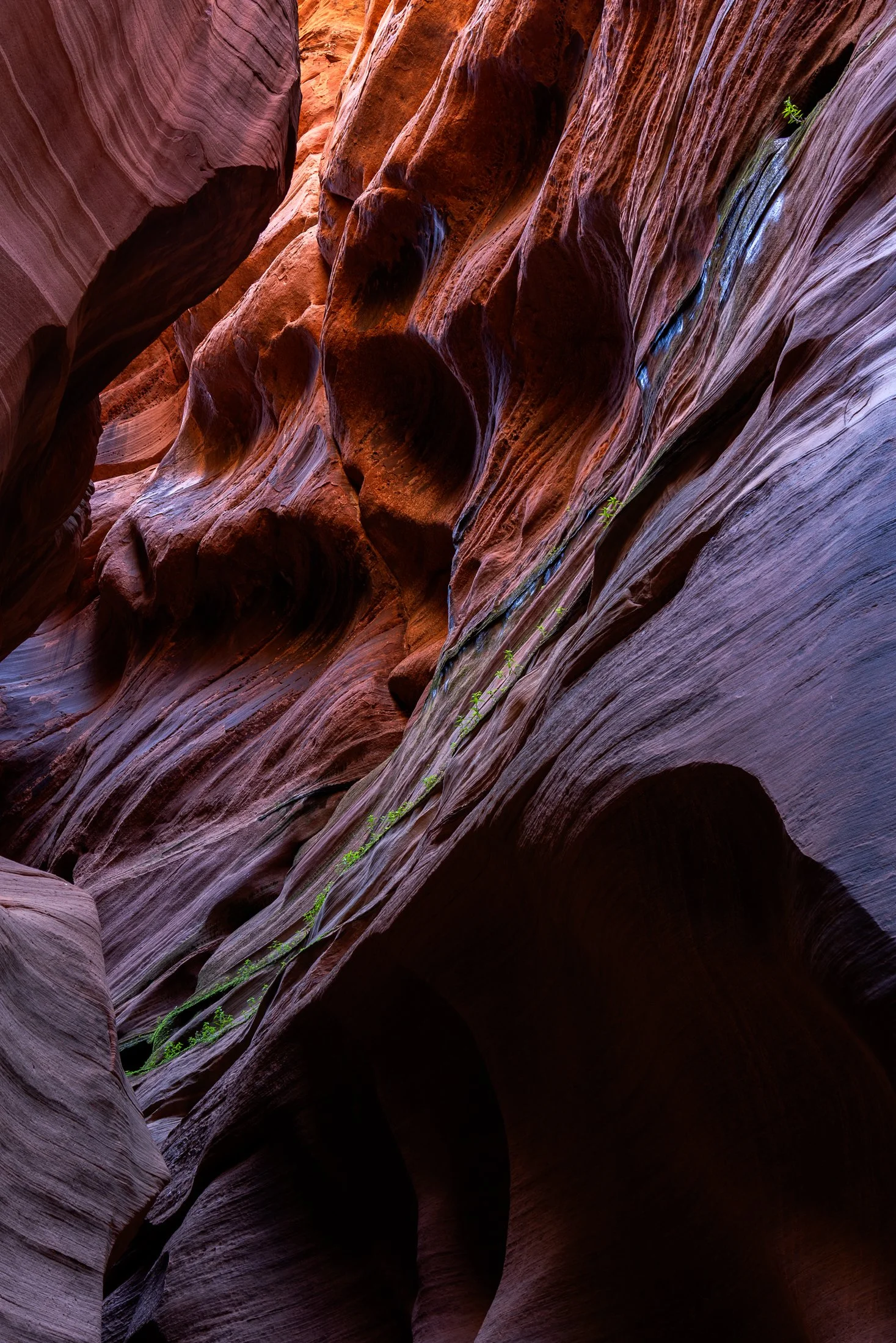
Buckskin Gulch, located in the Paria Canyon-Vermilion Cliffs Wilderness area, is the longest and deepest slot canyon in United States and possibly the world.
Marked by their sinuous carved rock, typically sandstone, slot canyons are often formed through water erosion over long periods of time, often coming from flash floods. This is what make hiking these beautiful canyons so dangerous. A storm from ten miles away can funnel into the canyon on a day with clear blue skies.
The plant growth on the side of this canyon is a unique sight. Small amounts of water and sunlight find their way to these plants allowing them to survive in this surreal environment.

“Time is, time was, but time shall be no more.”
- James Joyce (Portrait of an Artist as a Young Man) -

Buckskin Gulch, located in the Paria Canyon-Vermilion Cliffs Wilderness area, is the longest and deepest slot canyon in United States and possibly the world.
Marked by their sinuous carved rock, typically sandstone, slot canyons are often formed through water erosion over long periods of time. Flash floods are what make these strikingly beautiful canyons also some of the most dangerous to hike, with the runoff from a storm ten miles away potentially leading to the canyon on a day with clear skies.
These walls form their own abstract art where light reveals and conceals form, changing each minute with the path of the sun. This patch in particular caught my eye, evoking nature’s version of yin and yang.

Lone Eagle Peak is a marvel among Colorado’s already stunning collection of mountains peaks.
Named for Charles Lindbergh, the “Lone Eagle”, after his historic transcontinental flight, the mountain is tucked in the Indian Peaks Wilderness and requires at 15 mile hike to reach base where two mountain lakes sit.
This was captured at one of the most tiring moments in my life; 15 miles up the mountain with 50 lbs of camping and camera gear. I now travel lighter when climbing mountains. I arrived at camp completely spent, and struggled to make the effort to grab this shot as the light faded from the mountain.

The Bisti Badlands are a remote and alien world in northwest New Mexico located in the Bisti/De-Na-Zin Wilderness, protected by the Bureau of Land Management.
Unlike more developed national parks, the Bisti Badlands are largely untouched and offer a sense of solitude. There are no marked trails or facilities, so visitors must navigate the land carefully so as not to get lost in this maze of hoodoos.
Backpacking into the middle of the area, I set up a tripod and started light painting. Requiring a fifteen second exposure and precise painting with my headlamp, getting this lit evenly was a daunting task. Next time I’ll bring a flash.

Buckskin Gulch, located in the Paria Canyon-Vermilion Cliffs Wilderness area, is the longest and deepest slot canyon in United States and possibly the world.
Marked by their sinuous carved rock, typically sandstone, slot canyons are often formed through water erosion over long periods of time and are particularly prone to flash floods. With these floods comes large debris, and often it does not always escape the canyon.
The base of this large tree is one such beautifully eerie example, requiring some maneuvering to proceed further into the canyon. On the way back I made sure to highlight this unique occurrence with one quick shot.

Cumberland Island National Seashore is a pristine 18 mile stretch of undeveloped wilderness unique to the East Coast.
The island has a long history, and was once owned by the Carnegie Family who then dedicated the island to the National Park Service in 1972. The island has faced various threats to its wilderness status and has been defended through the continued efforts of Carol Ruckdeschel, one of the few persons allowed to live on the island.
I had visited the wild protected beaches of both the Atlantic and Pacific Ocean in the same calendar year when I took this photo, and I cannot divide my love for both. The sunrise peaked through the clouds this particular morning, while I photographed on an empty beach. It is a peaceful memory I recall often.

The Bisti Badlands are a remote and alien world in northwest New Mexico located in the Bisti/De-Na-Zin Wilderness, protected by the Bureau of Land Management.
The name comes from the Dinë (Navajo) word “Bistahi” translating roughly to “among the adobe formations”. The wind-formed hoodoos in this region are numerous leading to bizarre formations, varied colors, and precariously balanced rocks.
Backpacking into the desolate desert the previous night, a place where no trail exits, I woke up early the next morning to capture the morning light. This land lives beautiful isolation, undisturbed, as the elements continue their magnificent sculpting each day.

The Indian Peaks Wilderness is a protected wilderness area in north-central Colorado, encompassing approximately 73,931 acres within the Arapaho and Roosevelt National Forests, as well as a portion of Rocky Mountain National Park.
Established by Congress in 1978, it offers a pristine natural environment characterized by rugged granite peaks, glacially carved valleys, and over 50 alpine lakes.
Hiking up to Lone Eagle Peak was one of the most tiring hike of my life, due to my added camera weight while backpacking, but the trek was more than worth it. This was taken right as we were leaving the area, and luckily I turned around to see this composition encapsulating all that makes this wilderness truly unique.

Cumberland Island National Seashore is a pristine 18 mile stretch of undeveloped wilderness unique to the East Coast.
The island has a long history, and was once owned by the Carnegie Family who then dedicated the island to the National Park Service in 1972. The island has faced various threats to its wilderness status and has been defended through the continued efforts of Carol Ruckdeschel, one of the few persons allowed to live on the island.
This was the view at my backcountry campsite at the north end of the island where the bay sat still as birds and the rare dolphin would pass by. This was the beautiful end to a long 10 mile hike.

Cumberland Island National Seashore is a pristine 18 mile stretch of undeveloped wilderness unique to the East Coast. With this comes an undeveloped beach that provides a stunning juxtaposition to the developed lands north and south of it.
The island has a long history, and was once owned by the Carnegie Family who then dedicated the island to the National Park Service in 1972. The island has faced various threats to its wilderness status and has been defended through the continued efforts of Carol Ruckdeschel, one of the few persons allowed to live on the island.
Through multiple visits to Cumberland, I have always found the sands particularly beautiful, creating myriads of abstract patterns. Each time I visit, I spend time with these Rorschach tests.

Buckskin Gulch, located in the Paria Canyon-Vermilion Cliffs Wilderness area, is the longest, deepest slot canyon in United States and possibly the world.
Marked by their sinuous carved rock, typically sandstone, slot canyons are often formed through water erosion, particularly flash floods. This is also what make these beautiful canyons so dangerous, as water can be carried from a rainstorm several miles away bringing a sudden flash flood during clear skies with no escape route available.
I was amazed by the plants lining these walls, positioning themselves to receive the most light, showing again life’s ability to survival and thrive in the most unlikely places.

Cumberland Island National Seashore is a pristine 18 mile stretch of undeveloped wilderness near St. Marys, Georgia. The area is unique, showing the true beauty of untouched land on the East Coast.
The island has a long history, and was once owned by the Carnegie Family who then dedicated the island to the National Park Service in 1972. The island has faced various threats to its wilderness status and has been staunchly defended through the efforts of Carol Ruckdeschel, one of the few persons allowed to live on the island.
This sunrise required a particularly early wakeup call. The sun seemed to stick to the horizon evoking the imagery of the 1950’s nuclear tests. This gull flew at the right moment, accentuating this curious image.

Cumberland Island National Seashore is a pristine 18 mile stretch of undeveloped wilderness unique to the East Coast.
The island has a long history, and was once owned by the Carnegie Family who then dedicated the island to the National Park Service in 1972. The island has faced various threats to its wilderness status and has been defended through the constant efforts of Carol Ruckdeschel, one of the few persons allowed to live on the island.
This was my first trip on the island, and luckily I was the sole person on this wild beach on an early December morning. The sun rays fanned out on the horizon in a way I had never seen before, but it was this sand bank that made the shot, producing a fascinating abstraction of the landscape.

Lone Eagle Peak is a marvel among Colorado’s already stunning collection of mountains peaks.
Named for Charles Lindbergh, the “Lone Eagle”, after his historic transcontinental flight, the mountain is tucked in the Indian Peaks Wilderness and requires at 15 mile hike to reach base where two mountain lakes sit.
Having acquired an overnight permit six months earlier (all of which sold out in thirty seconds), I photographed this after a particularly grueling hike, camping and camera gear in tow. But being able to photograph this Grinch-like peak with the right gear made it all worth it.

Mirror Lake near Granby, Colorado, is a pristine alpine gem nestled in the Indian Peaks Wilderness, offering a breathtaking reflection of the dramatic Lone Eagle Peak.
Accessible via a scenic hike from Monarch Lake, Mirror Lake sits at an elevation of over 10,000 feet and is renowned for its crystal-clear waters and tranquil setting. The lake is a popular destination for backpackers, photographers, and nature lovers seeking a true backcountry experience in the wilderness.
While this was one of the most tiring hikes of my life, due to my added camera weight while backpacking, the trek was more than worth it. After making camp the previous night, this day involved traversing the surrounding area. I found this view summed up the vibe of this surreal setting.

Mirror Lake near Granby, Colorado, is a pristine alpine gem nestled in the Indian Peaks Wilderness, offering a breathtaking reflection of the dramatic Lone Eagle Peak.
Accessible via a scenic hike from Monarch Lake, Mirror Lake sits at an elevation of over 10,000 feet and is renowned for its crystal-clear waters and tranquil setting. The lake is a popular destination for backpackers, photographers, and nature lovers seeking a true backcountry experience in the wilderness.
While this was one of the most tiring hikes of my life, due to my added camera weight while backpacking, the trek was more than worth it. For this shot I traversed some large boulders to position myself on a small island to get the right angle for this shot.
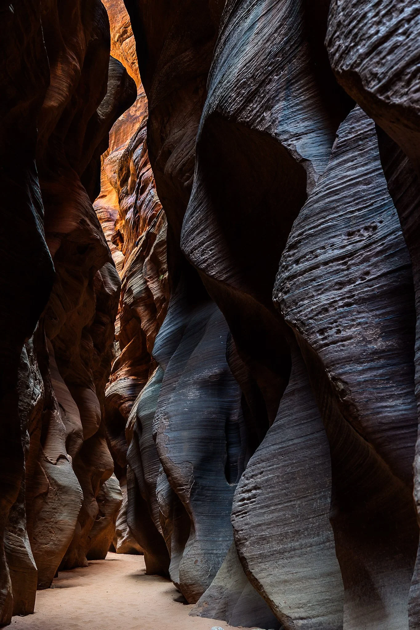
Buckskin Gulch, located in the Paria Canyon-Vermilion Cliffs Wilderness area, is the longest and deepest slot canyon in United States and possibly the world.
Marked by their sinuous carved rock, typically sandstone, slot canyons are often formed through water erosion, particularly flash floods. These are what make these beautiful canyons so dangerous, as water can be carried from a rainstorm many miles away leading to deadly flash flood during clear skies with no escape route.
Fairly deep into the canyon at this point, I had made sure to observed several weather apps before embarking. Two years earlier with only one day to hike it, I called off the hike due to a 1% chance of rain. I later found out that chance was responsible for flooded the canyon, trail, and road all the way to US Route 89, a distance of three miles.
The South Coast Wilderness Trail is a stunning, rugged, and truly wild 17 mile one-way hike through Olympic National Park. One of the last undeveloped coastlines in the contiguous United States, Olympic’s protection status ensures native species like sea otters, bald eagles, bears, and migrating whales will continue to thrive in this pristine wilderness.
Switching between stretches of picturesque coast and dense rainforest, the trek (which is at sea level) entails 2,000 feet in elevation change, due to the use of ladders and ropes to maneuver up and down coastal embankments.
This was one such area on my backpacking trip where the trail climbed several hundred feet following a rope climb from the beach. The blue of this area of the Pacific is stunning, especially contrasted with the lush greenery of Olympic’s rainforest.