

Forests
Forests
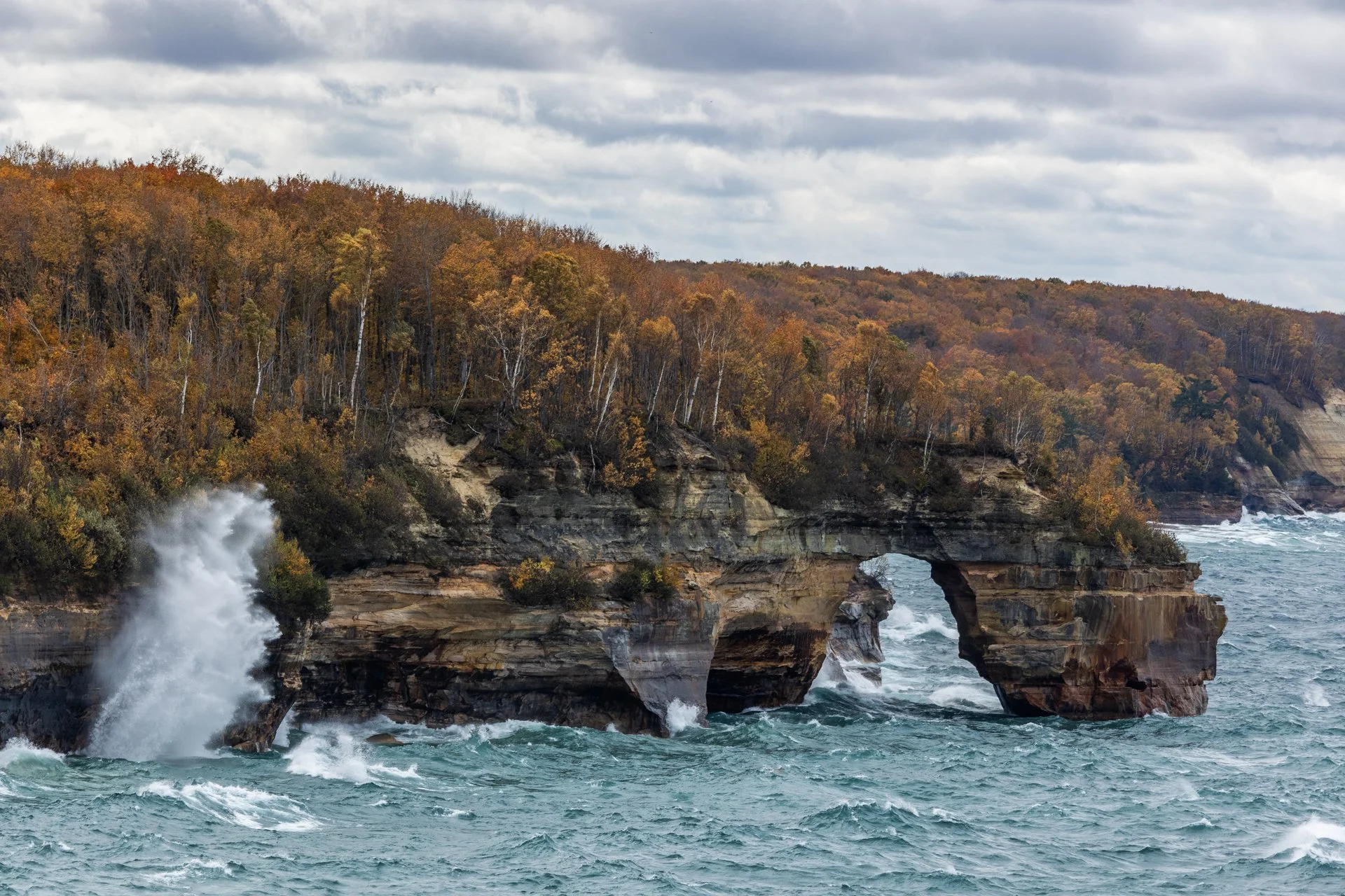
Lover’s Leap Arch, located in Pictured Rocks National Lakeshore, near Munising, Michigan, is one of the park's most iconic and photographed spots. The towering 200-foot cliffs and turquoise waters are often photographed from the local boat cruise and are rarely seen from this vantage point.
The cliffs colors, created by mineral staining, gives the area its "painted" appearance and inspiring the park’s name. According to Native American legend, Lover's Leap got its name from a heartbroken woman’s jump to her death after her lover’s failure to return from a journey.
Part of my 22-mile backpacking trip along cliff, this stormy day lead to Lake Superior’s waves continually crashing into the cliffs, often reaching their full height. These are the same storms that lead to the wreck of many ships, including the Edmund Fitzgerald.
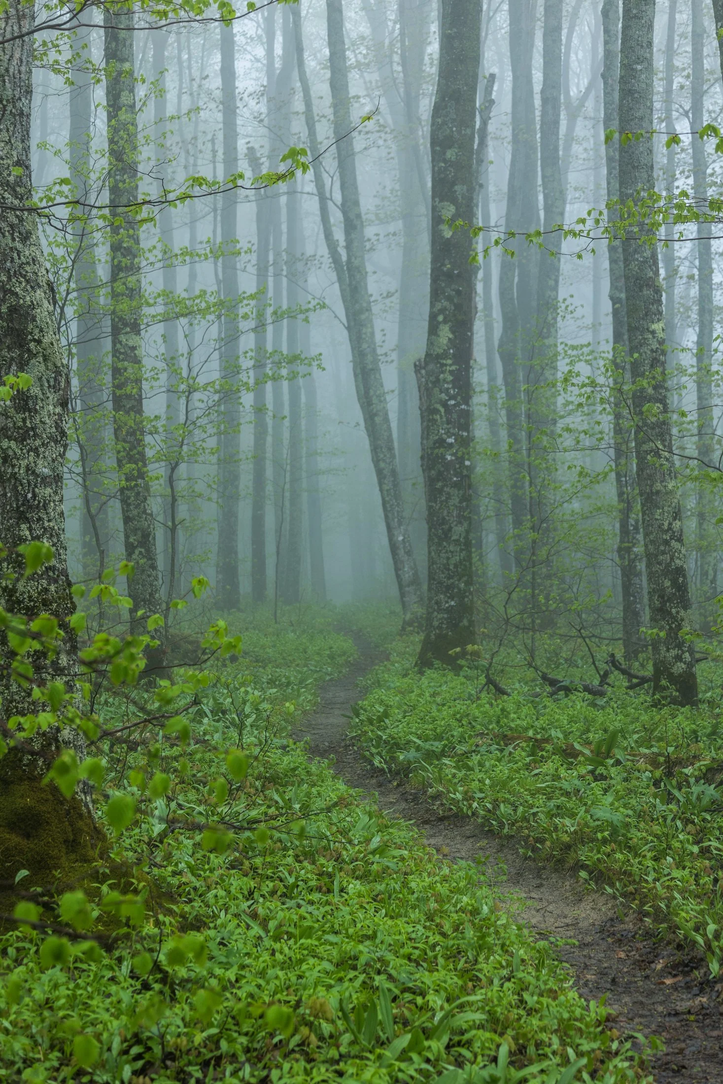
Pictured Rocks National Lakeshore, located near Munising, Michigan, already provides a stunning hiking opportunity for those willing to trek its bluffs, but in the early morning they can often take on a surreal atmosphere as the fog rolls in, transforming the area into a mystic forest.
This fog is often the result of the extremely cold waters of Lake Superior mixing with the warmer air from the land. As the fog rolls in, it muffles sound and adds depth to the already vibrant sandstone cliffs, creating a dramatic backdrop for an already stunning hike.
This particular photo occurred during an 11 mile backpacking trek along the cliffs, providing the one respite from a continuous onslaught of rain throughout the day. The experience of hiking through this atmosphere must be experienced, as this photo barely does it justice, but this winding trail disappearing into the fog serves as a glimpse into its magic.
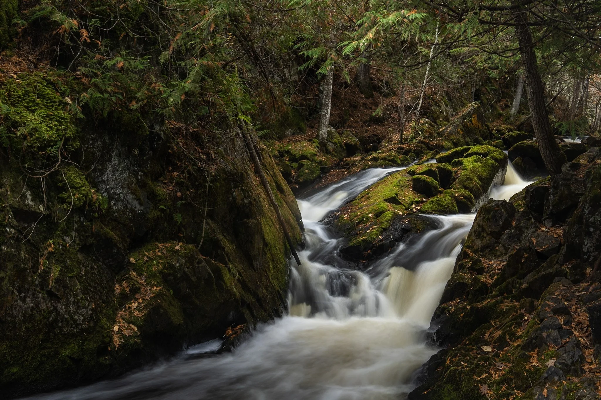
Smalley Falls, located in the Chequamegon National Forest of northern Wisconsin, is known for its serene and scenic beauty. Part of the Brule River, these falls are not as widely known as some of the others in the region, making it a particularly peaceful spot to visit.
The region is primarily composed of ancient Precambrian rock formations, some of the oldest on Earth, dating back about 1.6 to 2.6 billion years. Glacial till, which consists of a mixture of soil, clay, sand, and gravel, can be found in the area, deposited by the retreating glaciers that once covered much of Wisconsin. This sediment supports the lush vegetation and forest ecosystem surrounding Smalley Falls.
This particular composition required some scrambling and, again, careful positioning of my tripod legs on various levels of rocks to allow for the long exposure. This area immediately transported my mind to the lush forests of the Pacific Northwest, a site not often found in the Midwest landscape.
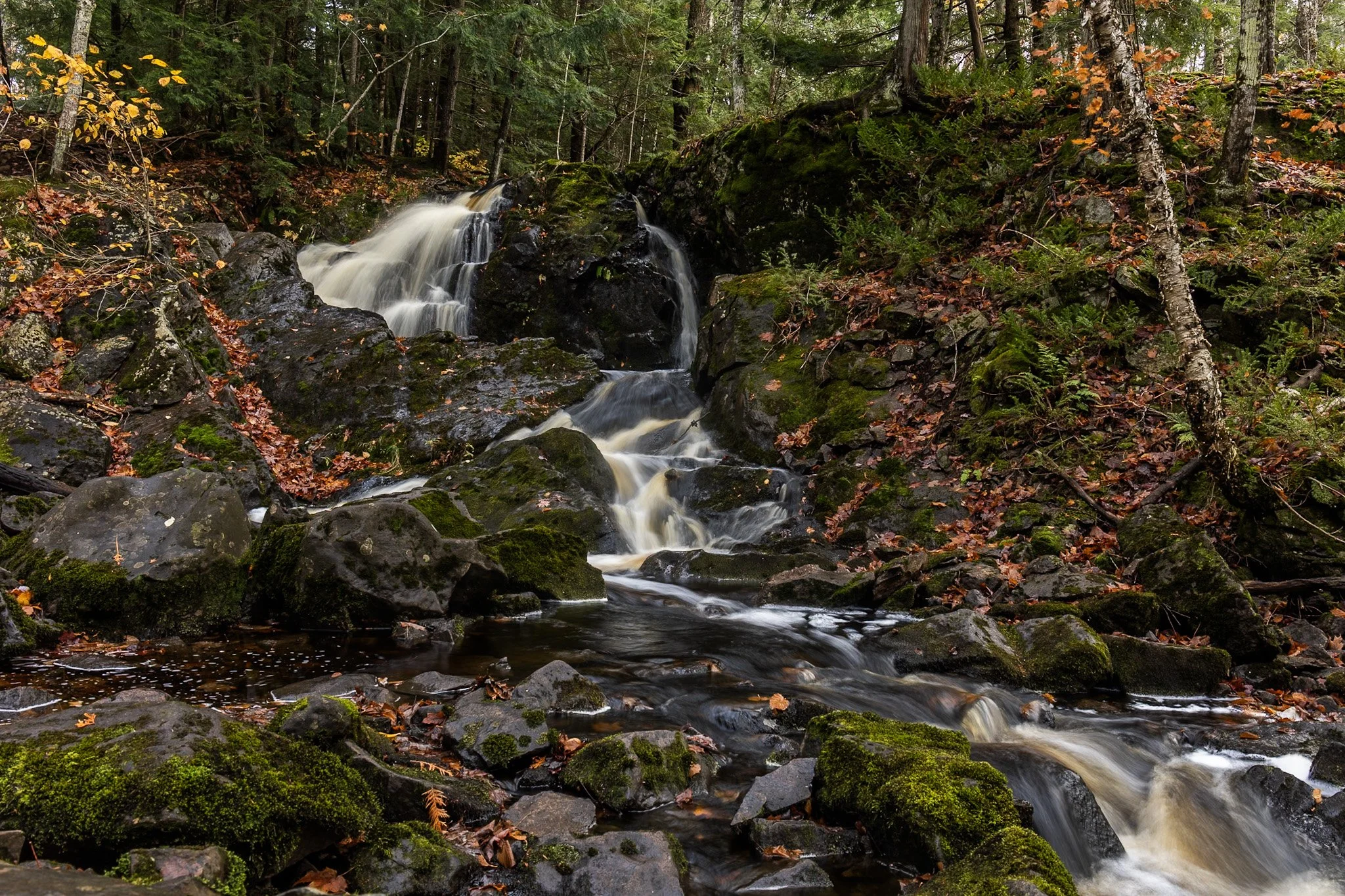
Located near Twin Lakes State Park, Wyandotte Falls finds its source from the Misery River in the Keweenaw Peninsula. The falls consist of a series of short cascades rocky ledges in a quiet, forested setting. The falls create an atmosphere that is reminiscent of a fairy tale forest.
This long exposure required the balancing of my tripod on the river rocks to get the composition that showed its varied pathways. Fall always adds something to a scene like this, and after chasing loud, roaring waterfalls all day, this was a serene end to the day.
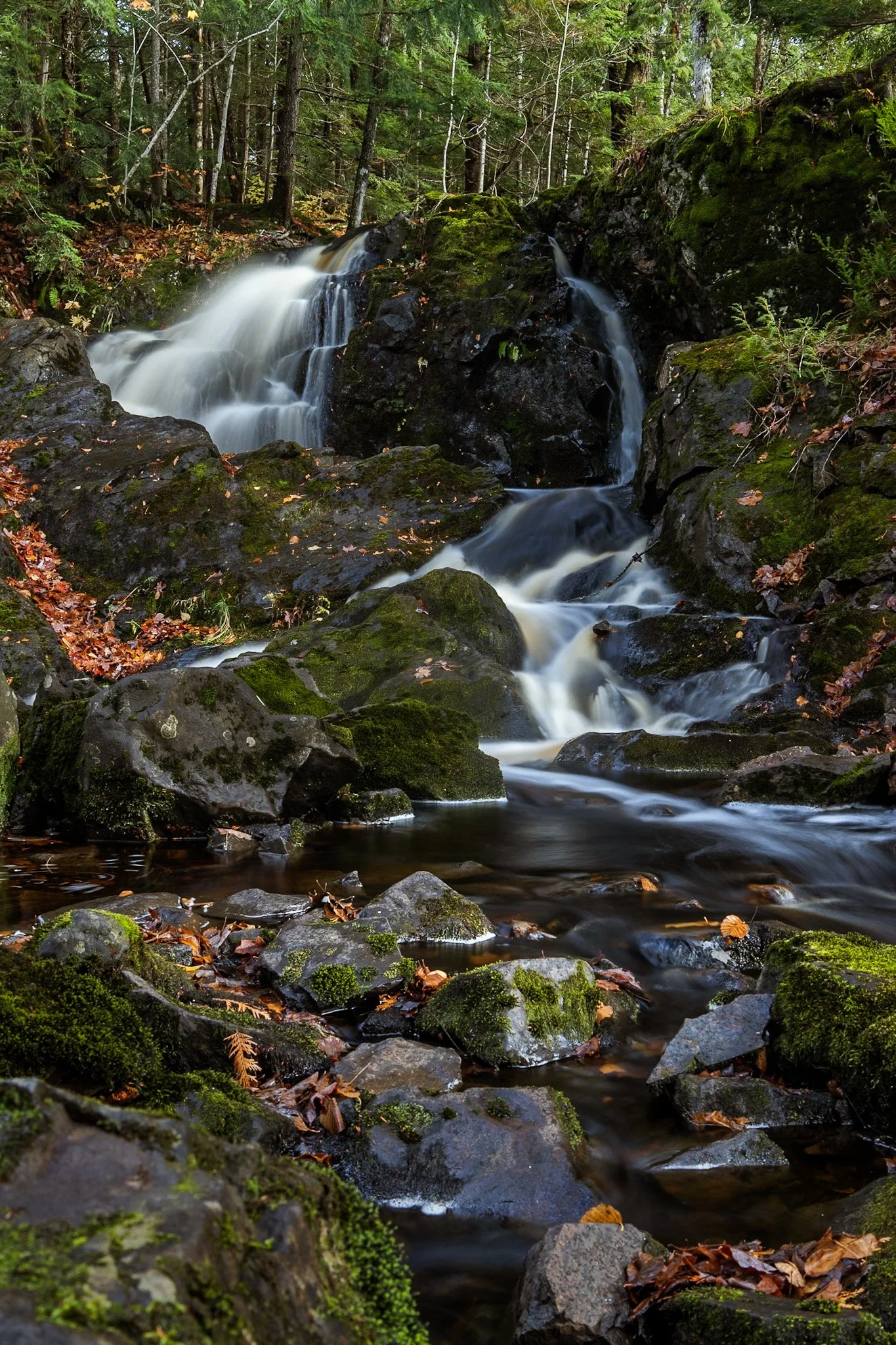
Located near Twin Lakes State Park, Wyandotte Falls finds its source from the Misery River in the Keweenaw Peninsula. The falls consist of a series of short cascades rocky ledges in a quiet, forested setting. The falls create an atmosphere that is reminiscent of a fairy tale forest.
This long exposure required the balancing of my tripod on the river rocks to get the composition that showed its varied pathways. Fall always adds something to a scene like this, and after chasing loud, roaring waterfalls all day, this was a serene end to the day.

Cumberland Island National Seashore is a pristine 18 mile stretch of undeveloped wilderness unique to the East Coast.
The island has a long history, and was once owned by the Carnegie Family who then dedicated the island to the National Park Service in 1972. The island has faced various threats to its wilderness status and has been defended through the efforts of Carol Ruckdeschel, one of the few persons allowed to live on the island.
While wandering back to my campsite coming from the deserted airstrip strewn with feral horses, I found this scarlet sunset right across from my campsite, the clouds accentuated by the pointing fingers of the tall Loblolly Pines prevalent on the island.

Cumberland Island National Seashore, located near St. Marys, Georgia, is a pristine 18 mile stretch of undeveloped wilderness unique to the East Coast. The island is known for its feral horses, possibly left over from the Spaniards during the 1700s.
The island has a long history, and was once owned by the Carnegie Family who then dedicated the island to the National Park Service in 1972. The island has faced various threats to its wilderness status over the years and has been defended through the continuous efforts of Carol Ruckdeschel, one of the few persons allowed to live on the island.
I arrived at Plum Orchard Mansion for a tour of the defunct Carnegie mansion dedicated in 1898. The area is frequented by the wild horses (technically feral) of the island. I was lucky enough to capture this black stallion bathed in light, highlighting its beauty if not also its complicated existence.
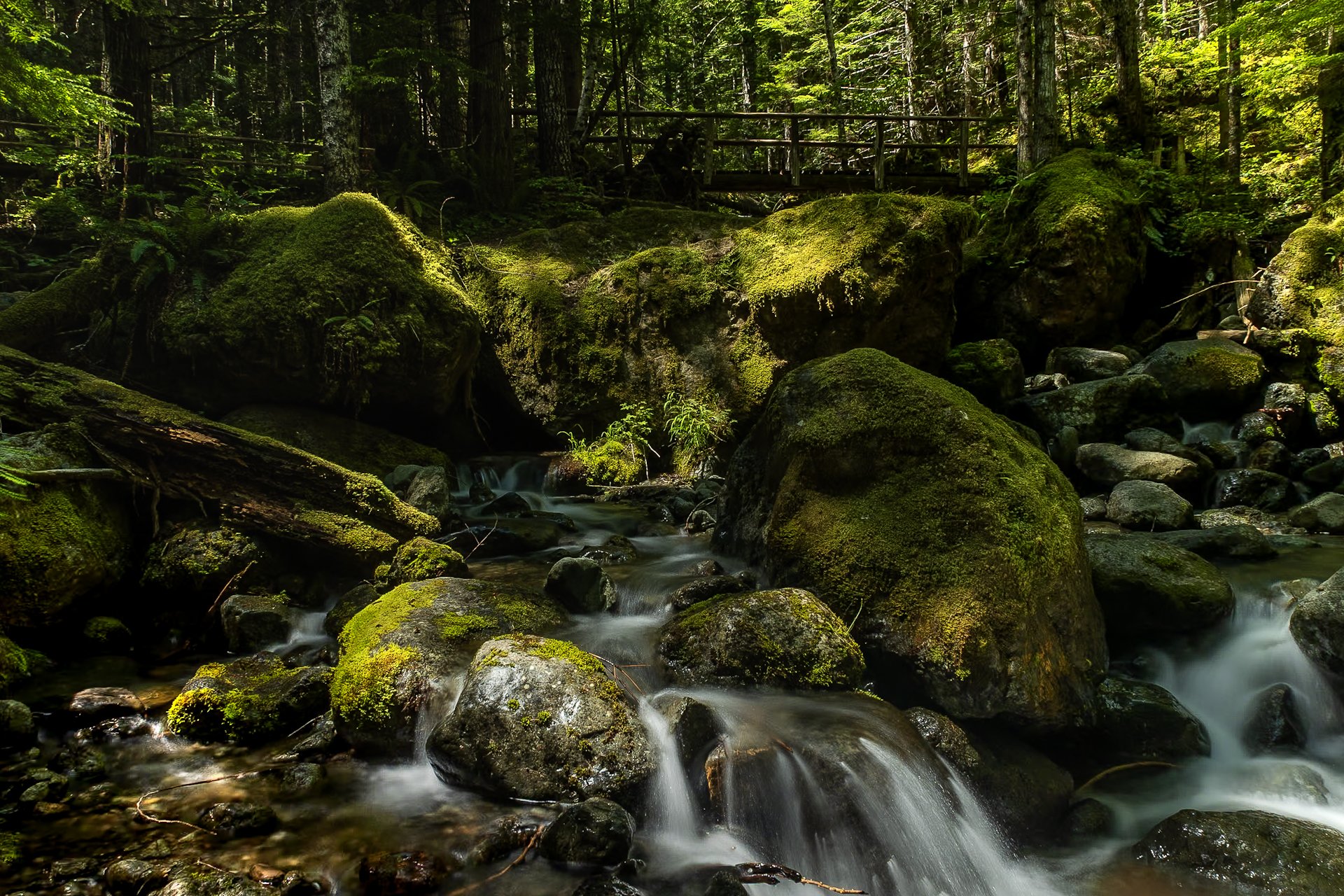
The Staircase area of Olympic National Park is a lesser known area of the park, tucked away along the southeastern edge of the park, near Lake Cushman. It’s known for old-growth forest, moss-draped trees, and multiple rivers flowing through.
This was my third time to Olympic National park and each trip continues to reveal more of its beauty. I stayed in a tiny home near Lake Cushman, which offered early morning access to the trails in the surrounding area.
This particular photo was taken on the Staircase Rapids Loop which follows the Skokomish River through the dense rainforest. Capturing both the cascade and one of the countless bridges crossing the river puts on display the sheer amount of greenery to be found in the only rainforest in the lower 48.

Wallace is fascinating quaint mining town with a rich history, located in the Rocky Mountain area of Idaho.
During the late 1800’s it was a thriving silver mining town but The Great Fire of 1910 almost destroyed it. Ed Pulaski, a fire fighter who saved the lives of all but one of his 42 man crew as well as 2 horses by navigating the ravine later invented the Pulaski tool, considered one of the most important fire fighting tools to this day.
I grabbed this photo while hiking this fairy tale trail that is unique in its presentation of signs as you hike telling the story of Pulaski rescuing his troop from The Great Fire by hiding in a mining tunnel. This tunnel is the final destination of the hike.

Congaree National Park in South Carolina is the largest intact expanse of old growth bottomland hardwood forest remaining in the southeastern United States. The Congaree River floodplain had a rich history including being a prominent area for bootleggers to hide their wares during the prohibition era. Authorities would be hard pressed to find the spirits stored in the recesses of the swamp land where the locals knew like the back of their hand.
Congaree is a mysterious land and one I would like to come back and kayak through as the boardwalks were completely flooded when I arrived. While this prevented me from exploring much of it, it was a prime example of the beauty of the area, one which cannot be tamed.
The best angle to capture this flooded boardwalk required the sacrifice of the dryness of my boots. I needed to dry them out before the next morning’s backpacking trip so I blasted the heat in my car with my shoes next to the vent while I sat in 90 degree bumper to bumper traffic. All worth it.

Congaree National Park in South Carolina is the largest intact expanse of old growth bottomland hardwood forest remaining in the southeastern United States.
The Congaree River floodplain had a rich history with bootlegging during the prohibition era, where authorities would be hard pressed to find the spirits stored in the recesses of the swamp land that locals knew well.
I spent one night at Congaree, and it has stuck in my mind since. Tho capture this photo I needed to creep further onto the flooded boardwalk to get the right angle resulting in water flooded my boots. It took great effort to dry them out for my backpacking trip the following morning.
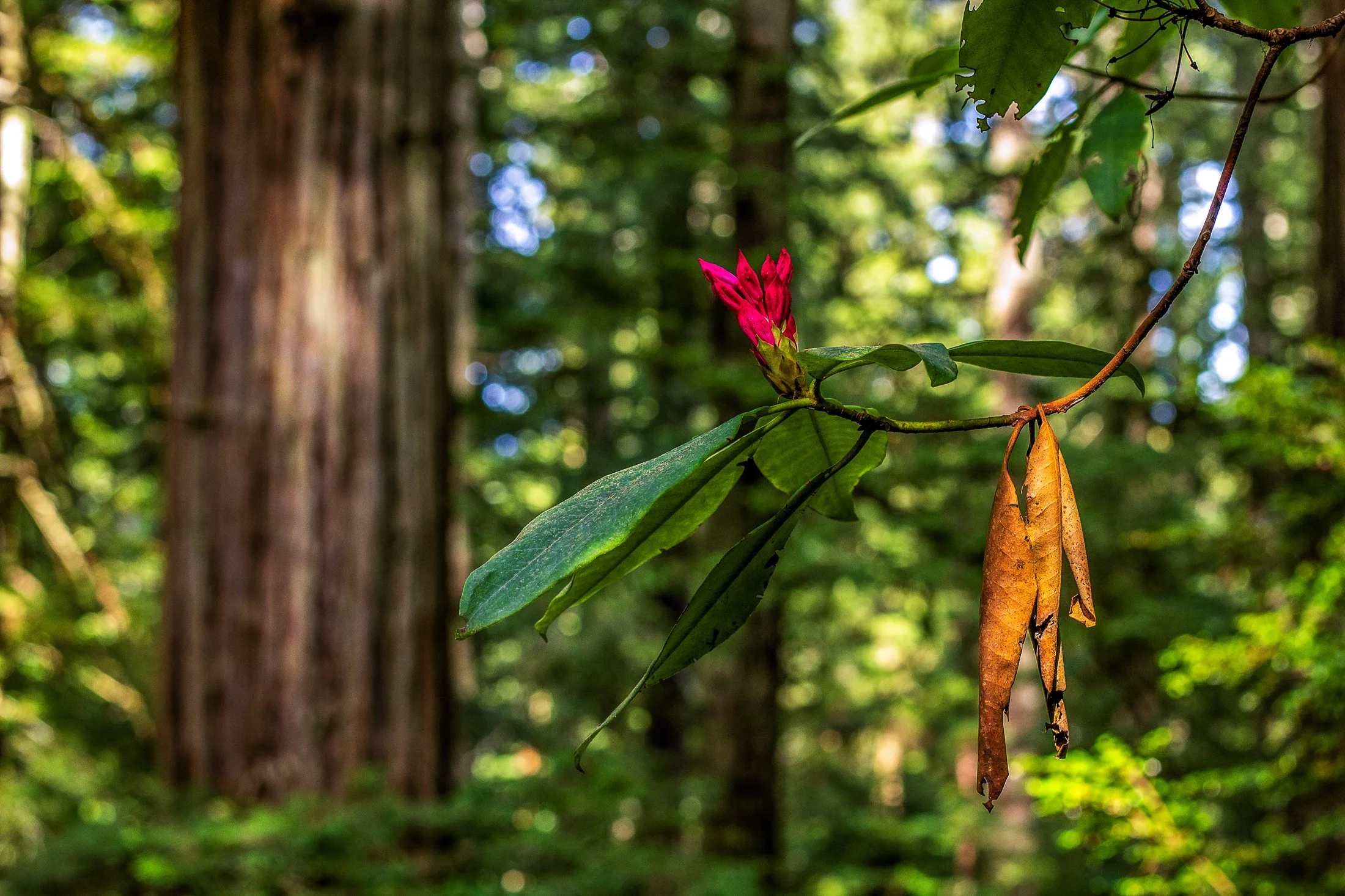
Humboldt County of Northern California is home to the southern section of the towering Redwood Forests which are conjoined effort of the National & State Park systems.
Contained within this section is the 31-mile world famous Avenue of the Giants. A mostly flat drive with gentle curves, passing secluded forest hamlets, campgrounds, picnic areas, and areas along the Eel River.
Offering extensive hiking trails, this was taken on a 5 mile loop, and finding this budding flower next to a dying leaf providing the perfect foreground to this vast redwood background.

It was once of the most scenic stretches of railroad in the country. Winding through nine tunnels and over seven high steel trestles, the 15-mile route crossed the rugged Bitterroot Mountains between Idaho and Montana. It is known as the Route of the Hiawatha.
The route has now been converted to a rails-to-trails path but it was originally constructed in the 1890’s the railroad and connected the Eastern United States to the Pacific Northwest via the Northern Pacific Railroad. It was finally converted to a trail in the 1970s.
I rented a bike at Lookout Pass for the day, and while a big thunderstorm hung on the periphery, and caused some minor inconvenience. Biking through 10 pitch black tunnels with only a headlamp is an experience I will never forget.
The South Coast Wilderness Trail is a stunning, rugged, and truly wild 17 mile one-way hike through Olympic National Park. One of the last undeveloped coastlines in the contiguous United States, Olympic’s protection status ensures native species like sea otters, bald eagles, bears, and migrating whales will continue to thrive in this pristine wilderness.
Switching between stretches of picturesque coast and dense rainforest, the trek (which is at sea level) entails 2,000 feet in elevation change, due to the use of ladders and ropes to maneuver up and down coastal embankments.
This was one such area on my backpacking trip where the trail climbed several hundred feet following a rope climb from the beach. The blue of this area of the Pacific is stunning, especially contrasted with the lush greenery of Olympic’s rainforest.