

Southwest

Southwest
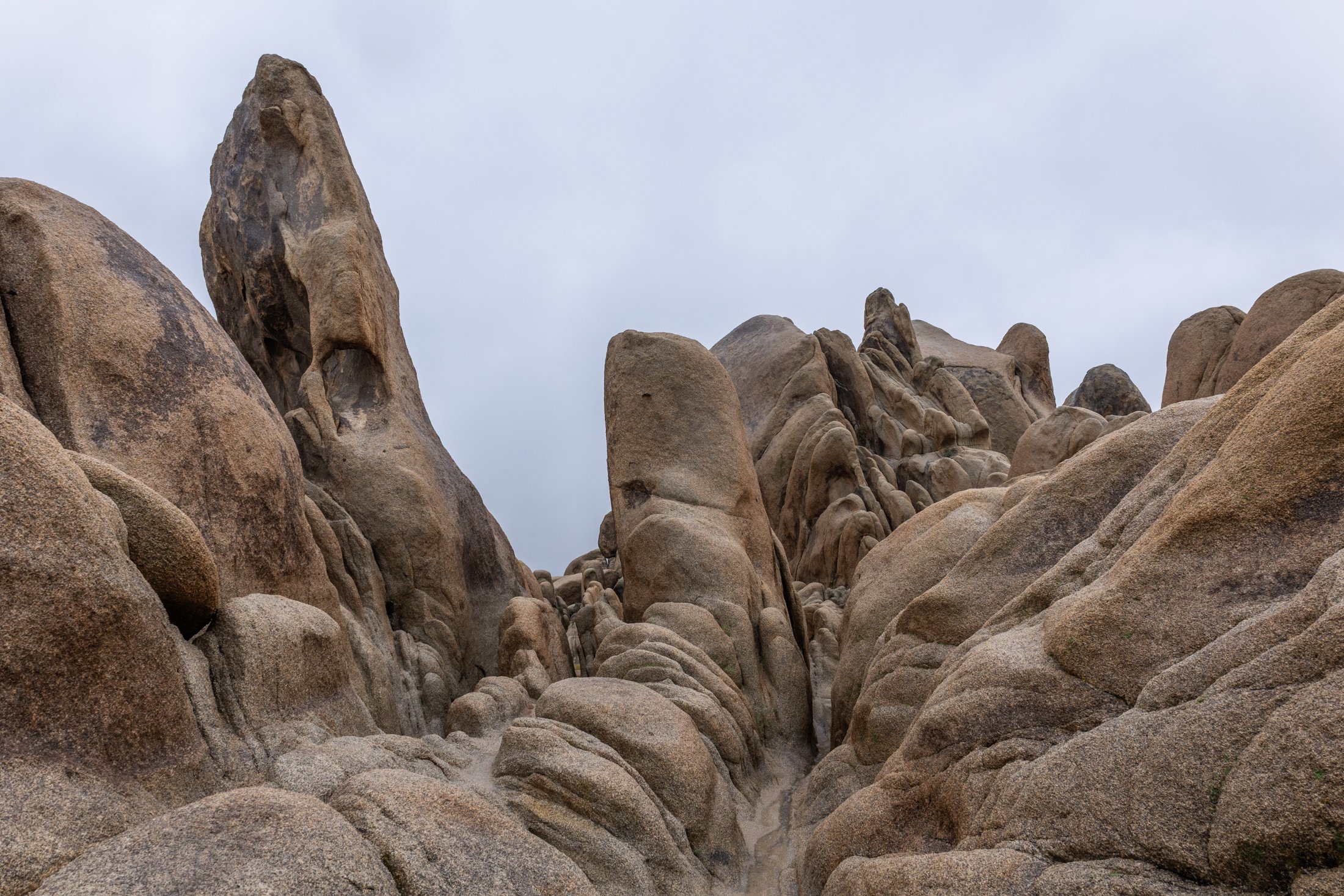
Joshua Tree National Park, located in southeastern California, about 150 miles east of Los Angeles, is famous for its dramatic granite rock formations. Over tens to hundreds of millions of years uplift and weathering left the overlying rock exposed.
This physical weathering peeled the outer layers from the rock while desert flash floods carried away loosened material, leaving stacked, rounded boulders, domes, and monoliths.
This was my third trip to Joshua Tree and each time has been a different adventure. The grippy granite rock makes it a very fun park to rock scramble in but this particular day rain and fog dominated the landscape, a unique occurrence that required the correct gear to capture this image. This unique formation is located right next to Arch Rock and the maze-like quality showed off the singular uniqueness of this National Park.
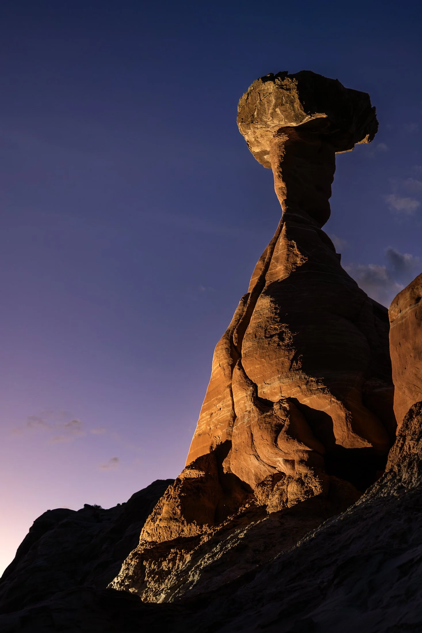
The Toadstool Hoodoos, located outside of Kanab, Utah and Page, Arizona, are part of the greater Grand Staircase-Escalante National Monument. The trail is unassuming, located at a small turnoff on Highway 89. The trail to the hoodoos meanders through the valleys of small eroded plateaus with large amounts of scree covering the area.
These unique formations find their creation from the Dakota Sandstone boulders that sit atop the Entrada Sandstone pedestals. Once the softer Entrada Sandstone erodes, the Dakota Sandstone resides leaving a cap, like a mushroom, on top.
This photo was taken after a group of friends and I decided to stop off here for sunset following a particularly exhausting 8 mile hike through Buckskin Gulch. With the setting sun providing enough darkness for me to use my off camera flash, I channeled my inner studio photographer and directed my friend where to hold the flash to best reveal its form, giving rise to magnificent colors and striations against the purple hue of the setting sun.
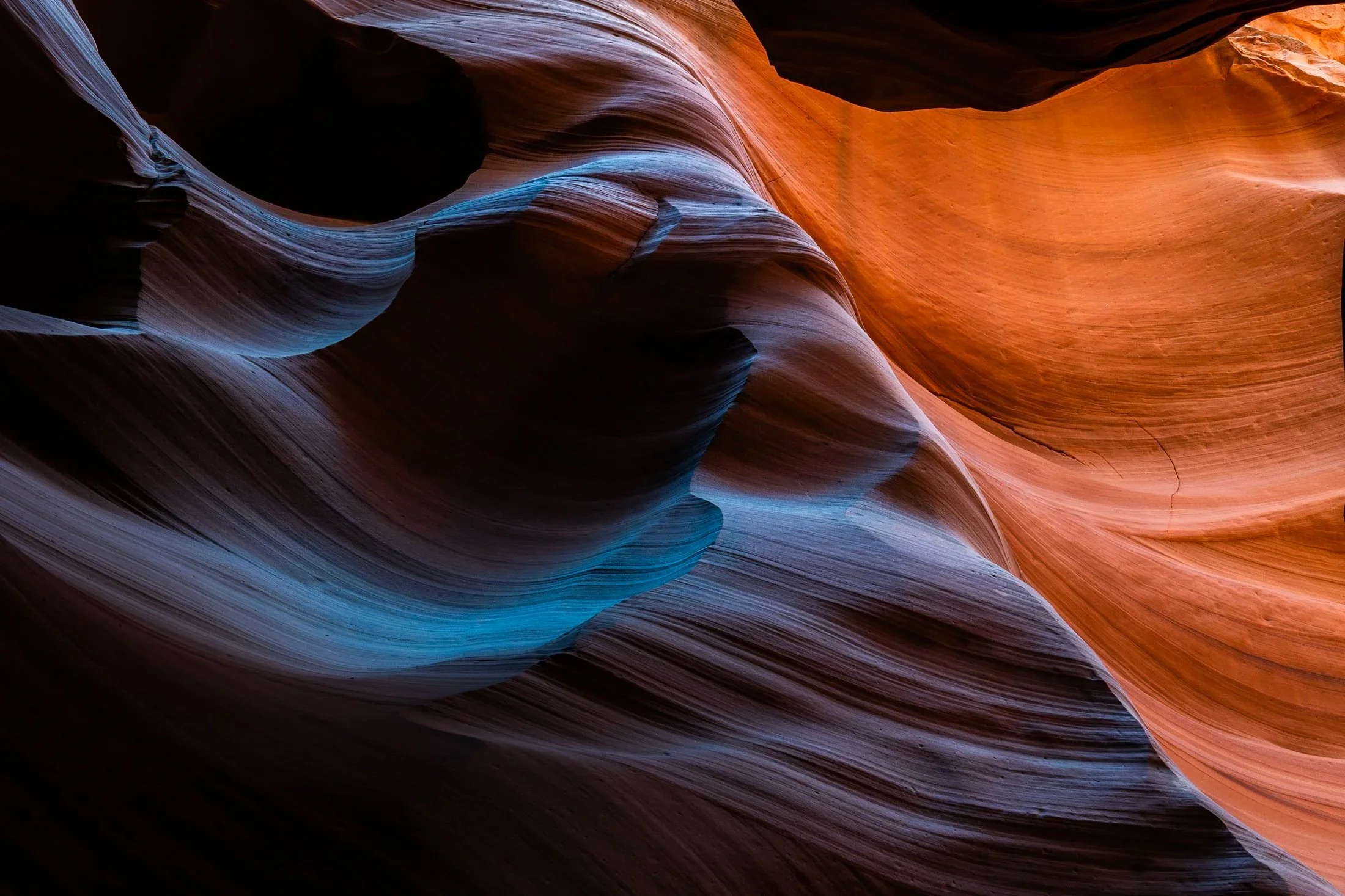
Antelope Canyon, located in northern Arizona within the Navajo Nation right outside the town of Page, is one of the most picturesque slot canyons in the world. Running over 23 miles, it was formed over millennia through consistent erosion, primarily through the actions of flash floods that sculpt the sandstone rock into smooth, undulating forms.
Having traveled to Page numerous times, I had always opted for Buckskin Gulch, another slot canyon in the area that resides on BLM land and does not require a paid tour. My fourth time in the area I decided to partake on a tour and the views did not disappoint. Guided by a local Diné (Navajo) tour guide, I was entreated to various stories of Navajo belief as well as given a private photography tour of the canyons.
The canyons continually conceal and reveal form throughout the day, as the sun follows its path across the sky. My tour followed a relatively short section of the greater Antelope Canyon, and yet I found I could have spent days here and never arrive at the same photo twice. This abstract section reinforces the stunning tonality and color nature creates in the shade of these canyons.
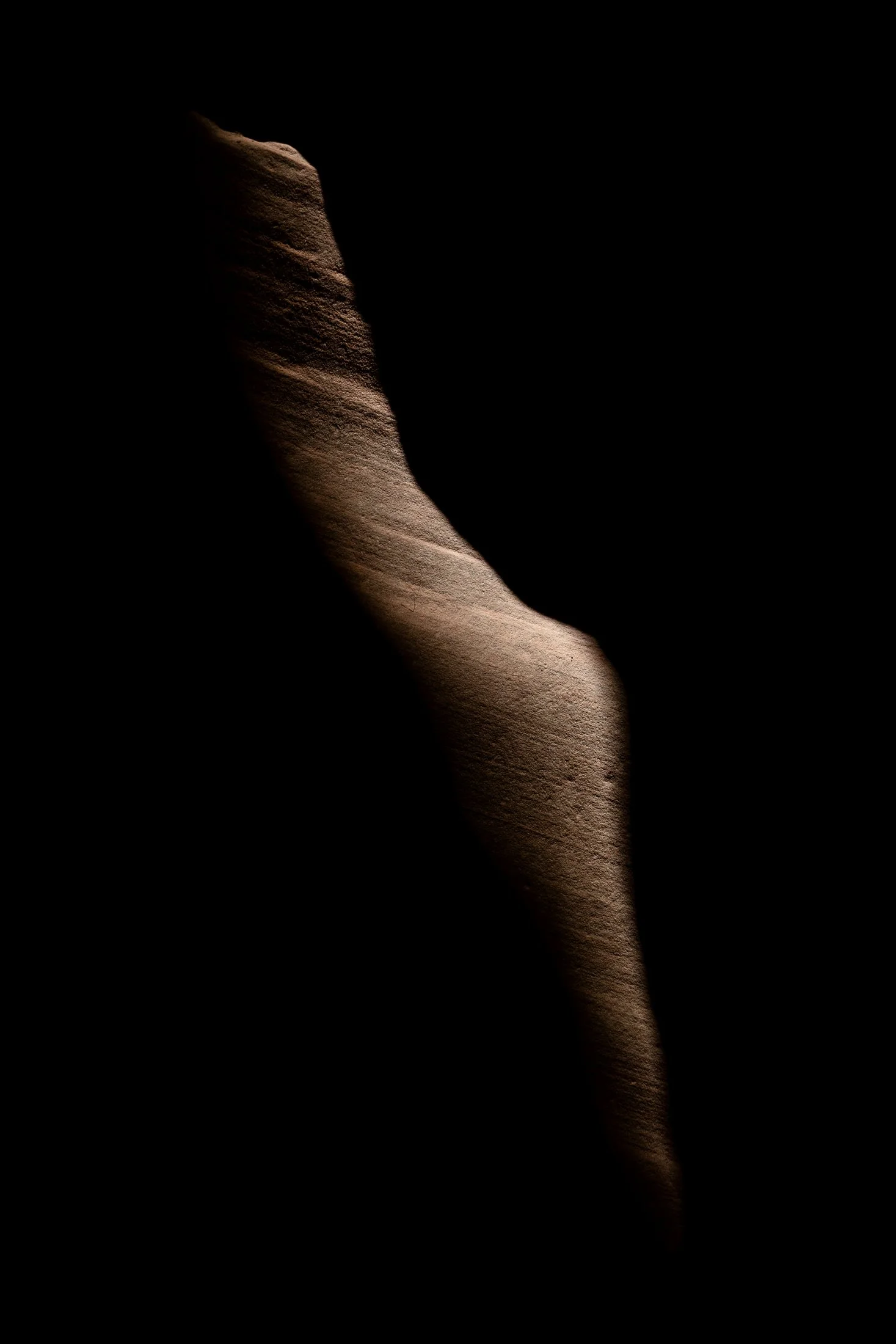
Buckskin Gulch, located in the Paria Canyon-Vermilion Cliffs Wilderness area, is the longest and deepest slot canyon in United States and possibly the world.
Marked by their sinuous carved rock, typically sandstone, slot canyons are often formed through water erosion over long periods of time. Flash floods are what make these strikingly beautiful canyons also some of the most dangerous to hike, with the runoff from a storm ten miles away potentially leading to the canyon on a day with clear skies.
These walls form their own abstract art where light reveals and conceals form, changing each minute with the path of the sun. On my third venture into this slot canyon, the light caught this particular patch of sandstone highlighting its sinuous nature allowing for an eerie contemplation of the form itself.
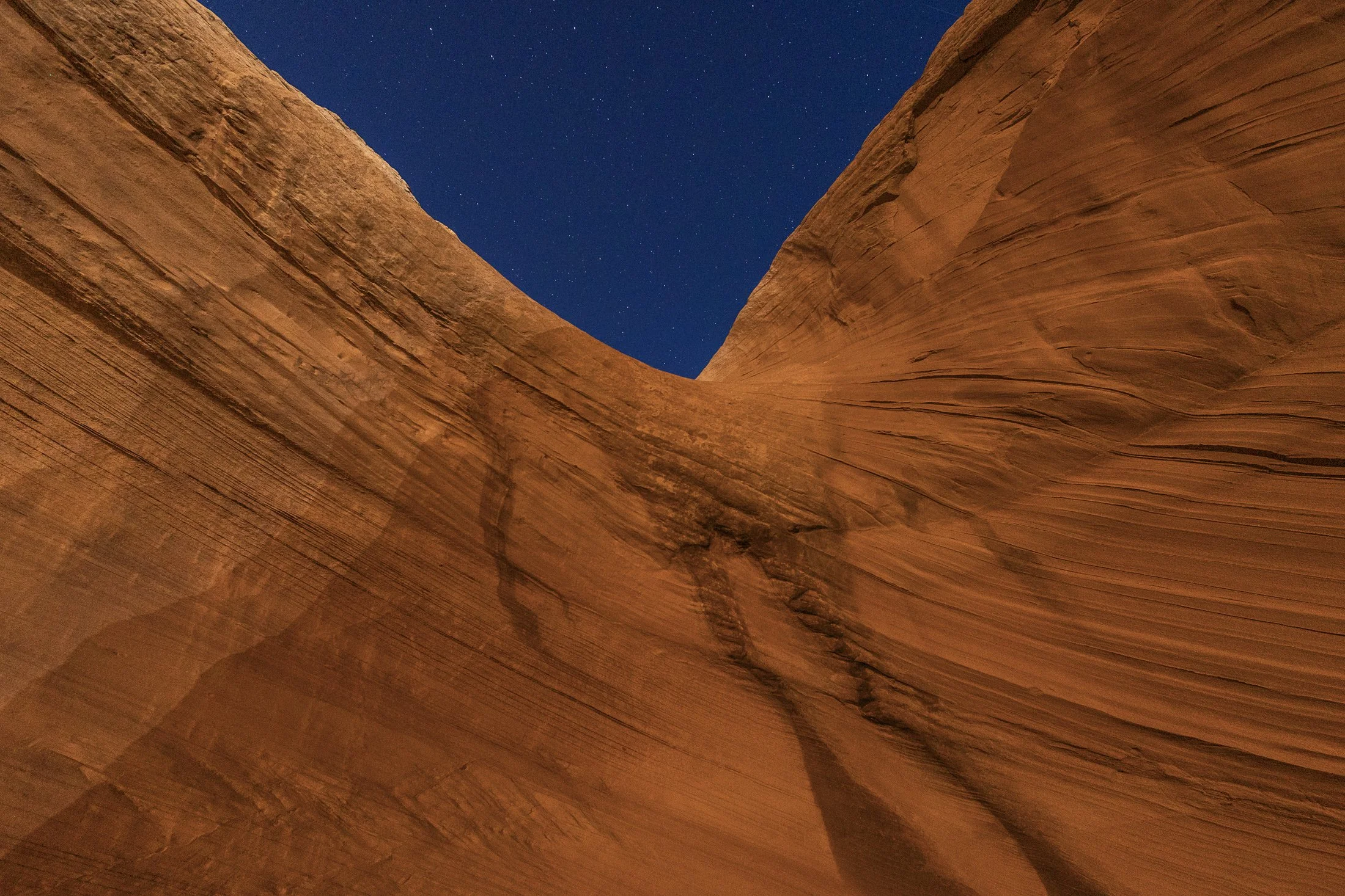
Page, Arizona, near Grand Staircase–Escalante National Monument, is one of my favorite towns in the Southwest. A crossroads between the Grand Canyon, Monument Valley, and Zion National Park, the area has become a vacation destination for desert residents and tourists alike, offering recreational water activities such as charting a boat through the flooded canyons of the man-made Lake Powell.
Lake Powell is a key part of the community which stores and regulates water from the Colorado River for the area as well as powering the Glen Canyon Dam which provides hydroelectric electricity to surrounding area and beyond. The red rock in this area is next to none, with every area offering beautiful trails and hidden views around each corner of the city.
This photo was taken in one such area which was behind a local gas station a mile outside of town. This is a well known sand cave that has gone viral on social media. The feeling of being in this cave is stunning, but I found the warped red rock a much more fascinating feature. Using a long exposure, I used my headlamp to paint the rock against the starry night.
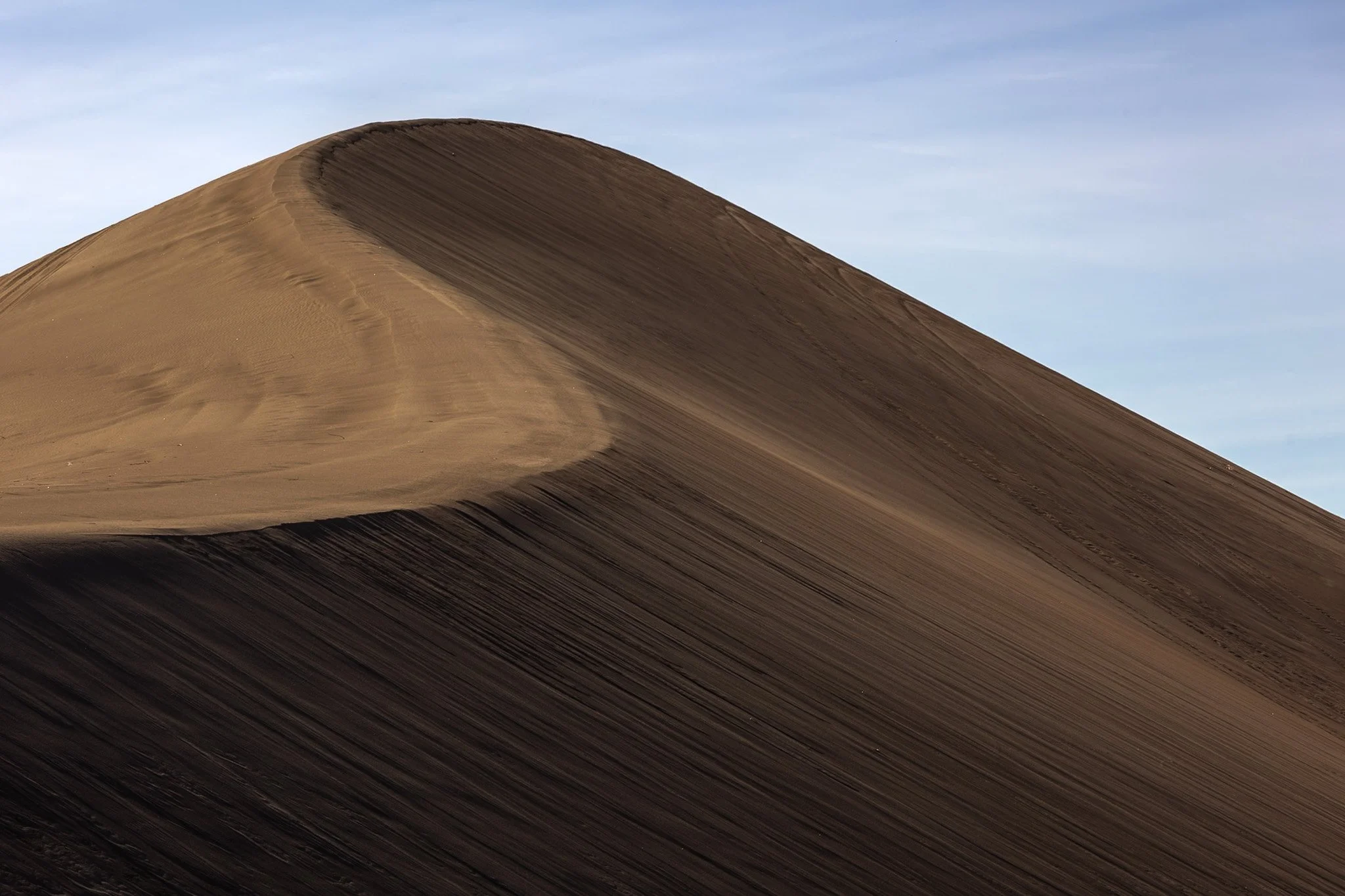
The dunes in and around Death Valley are primarily shaped by wind, which picks up and transports sand particles across the valley floor. Sediment from surrounding mountains supplies the sand forming these natural features.
The wind's constant movement reshape the dunes, causing them to shift across the valley, often forming barchan dunes which hold crescent shapes, such as the one seen here.
I found this specific dune formation completely deserted (excuse the pun) in the early morning. Walking to the base of it, it was tough not to be struck by the gigantic sense of time, space, and form the area offers up. This telephoto capture isolated its gentle untouched waves towering on the horizon from miles away.

Buckskin Gulch, located in the Paria Canyon-Vermilion Cliffs Wilderness area, is the longest and deepest slot canyon in United States and possibly the world.
Marked by their sinuous carved rock, typically sandstone, slot canyons are often formed through water erosion over long periods of time. Flash floods are what make these strikingly beautiful canyons also some of the most dangerous to hike, with the runoff from a storm ten miles away potentially leading to the canyon on a day with clear skies.
These walls form their own abstract art where light reveals and conceals form, changing each minute with the path of the sun. This patch in particular caught my eye, not only for its abstract nature, but the small patch of life growing along its walls.
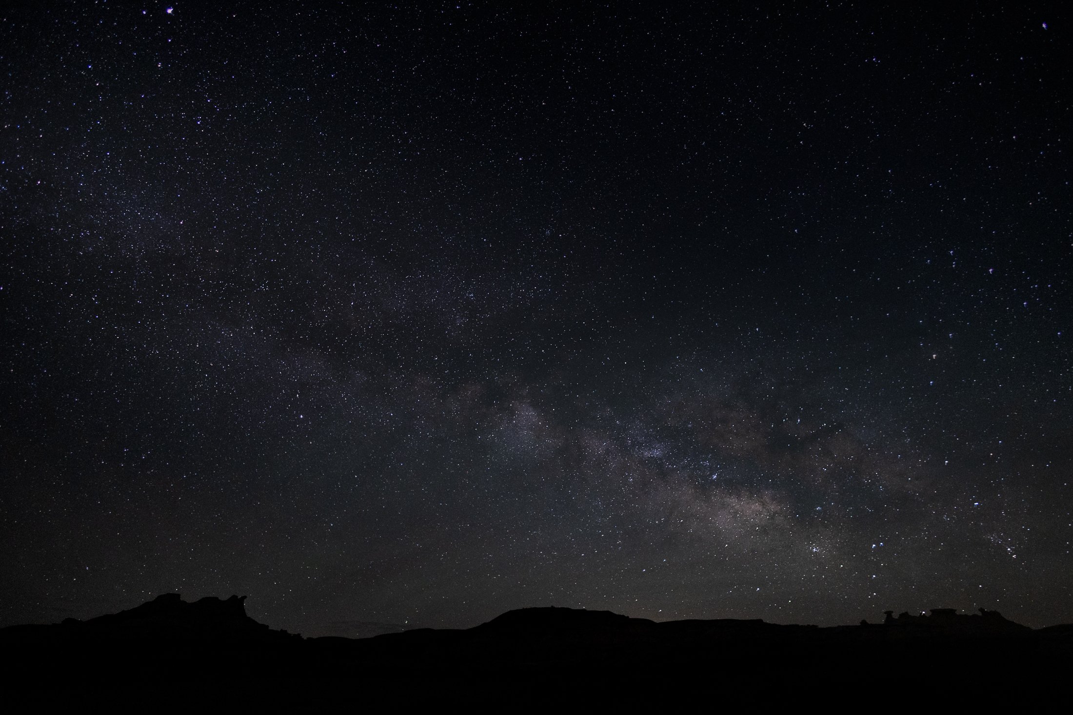
The Bisti Badlands are a remote and alien world in northwest New Mexico situated in the Bisti/De-Na-Zin Wilderness, an area protected by the Bureau of Land Management.
The name comes from the Dinë (Navajo) word “Bistahi” translating roughly to “among the adobe formations”. The wind-formed hoodoos in this region are numerous leading to bizarre formations, varied colors, and precariously balanced rocks. The area doubles as a designated dark sky territory providing an unpolluted night sky.
This was my second time visiting this desolate world, and this time I backpacked in at sunset and spent the entire night photographing around camp, using my headlamp to paint the rocks. Finally, late into the night, the Milky Way became visible with the naked eye, and this silhouette of the landscape perfectly framed our beautiful galaxy. It was a stunning sight.

The Grand Staircase-Escalante National Monument region is renowned for its expansive layers of sedimentary rock, shaped over millions of years by wind, water, and tectonic activity.
Visitors to the area encounter a breathtaking variety of rock features, including narrow slot canyons, towering cliffs, slick rock domes, and natural arches. These rocks not only define the physical character of the region but also serve as a natural record of Earth’s history.
This photograph was taken due to the need to escape the intense heat of the area, finding refuge in this little pocket of rock, providing important shade. This shade was a full 30 degree cooler from that of the exposed sun. While lying on a large slab of broken rock, the view above was an abstract wonder, only needing the right framing.
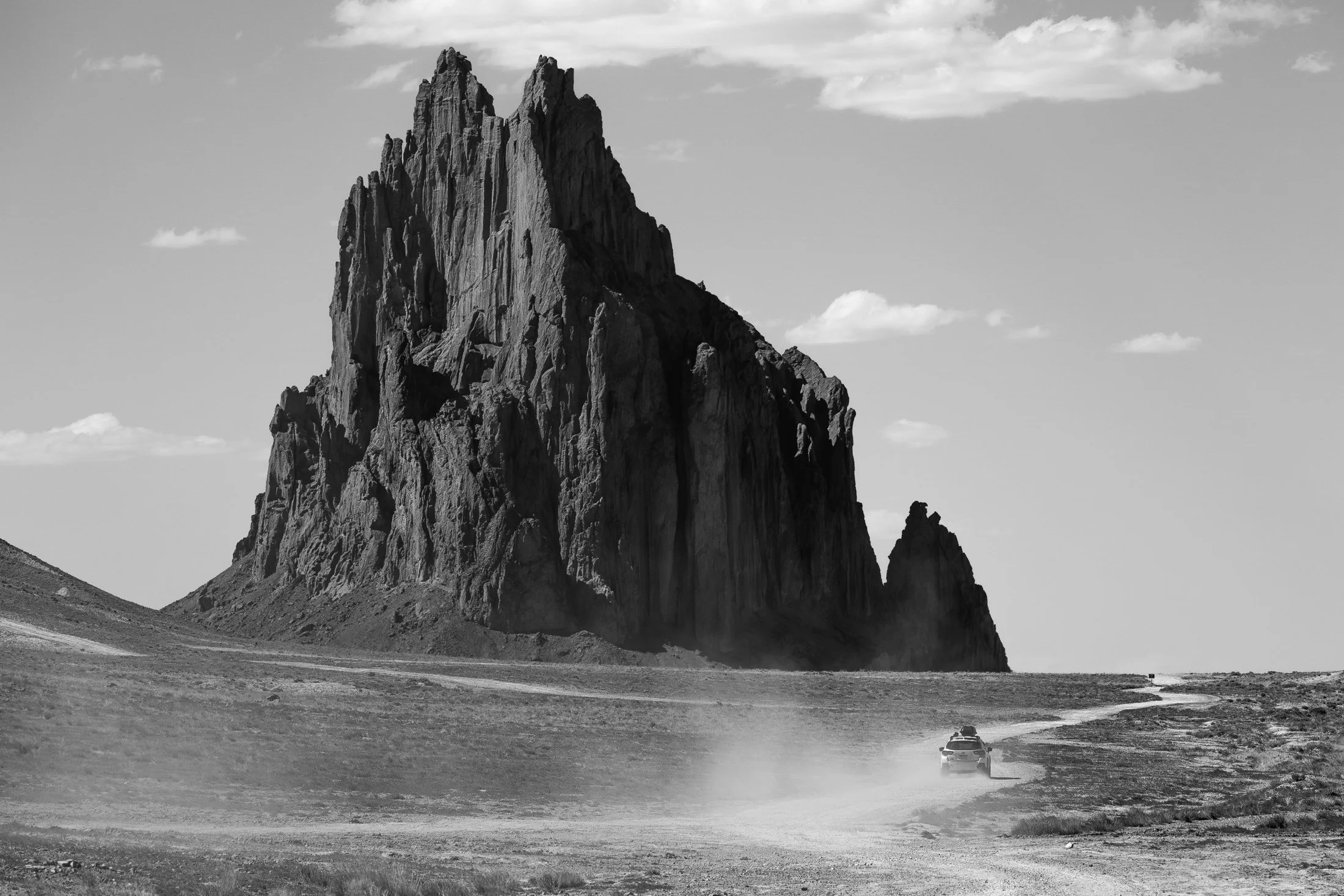
Located outside of Shiprock, New Mexico, the eponymous monolith is known by the Diné as Tsé Bit'a'í, which translates roughly to "Rock with Wings." The sacred site is a significant landmark to the Diné people, and approaching beyond a certain distance is off-limits to non-Diné travelers.
Tsé Bit'a'í is believed to be the remnant of a giant bird that played a crucial role in the creation story of the Diné. The formation, a volcanic neck, rises about 1,583 feet (482 meters) above the surrounding desert and is often considered one of the most iconic geological features in the region.
Upon approach, its gargantuan size becomes apparent, and one is left awestruck. There is no grand entrance, no signs of tourism, just the monolith towering over the surrounding land. A single car drove past, revealing a strange notion of time and space.
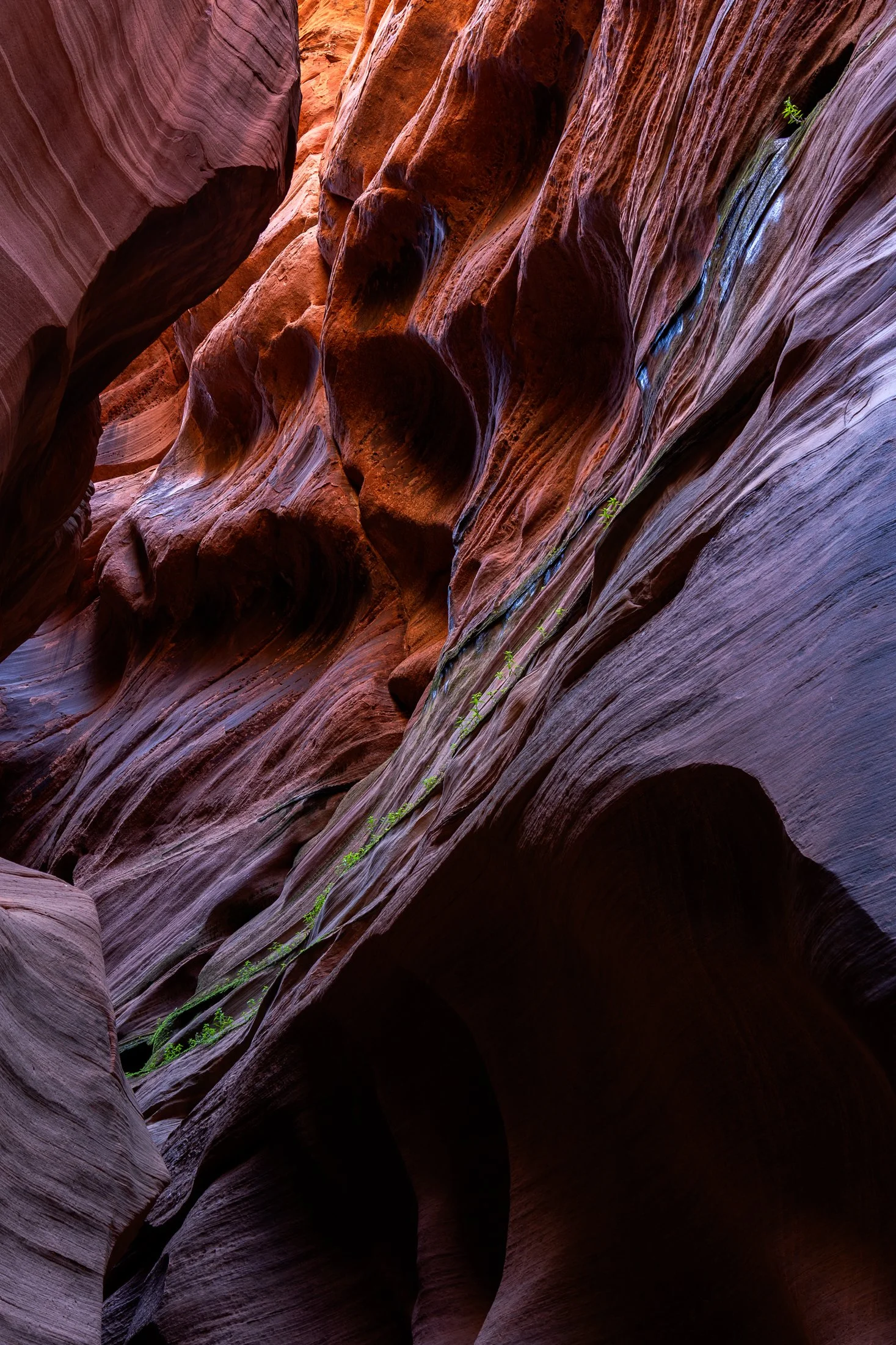
Buckskin Gulch, located in the Paria Canyon-Vermilion Cliffs Wilderness area, is the longest and deepest slot canyon in United States and possibly the world.
Marked by their sinuous carved rock, typically sandstone, slot canyons are often formed through water erosion over long periods of time, often coming from flash floods. This is what make hiking these beautiful canyons so dangerous. A storm from ten miles away can funnel into the canyon on a day with clear blue skies.
The plant growth on the side of this canyon is a unique sight. Small amounts of water and sunlight find their way to these plants allowing them to survive in this surreal environment.

Buckskin Gulch, located in the Paria Canyon-Vermilion Cliffs Wilderness area, is the longest and deepest slot canyon in United States and possibly the world.
Marked by their sinuous carved rock, typically sandstone, slot canyons are often formed through water erosion over long periods of time. Flash floods are what make these strikingly beautiful canyons also some of the most dangerous to hike, with the runoff from a storm ten miles away potentially leading to the canyon on a day with clear skies.
These walls form their own abstract art where light reveals and conceals form, changing each minute with the path of the sun. This patch in particular caught my eye, evoking nature’s version of yin and yang.

Canyon de Chelly National Monument is a joint venture between Navajo Nation and The National Park Service to preserve this unique area of land. The ruins throughout the monument are remnants of the Anasazi who inhabited the region between 750 and 1300 CE.
These people built their domiciles into the sides of the canyon, which offered protection from the elements as well as neighboring enemies. The land is now owned by Navajo Nation and is a sacred site. It is unique for an NPS area in that the Dinë people live on and farm the land.
The sheer size of the canyon is a sight to behold, and this area has been the fascination of photographers since the 1800s, with photographer Edward S. Curtis being one of the first to show its massive scale on celluloid.

The Bisti Badlands are a remote and alien world in northwest New Mexico located in the Bisti/De-Na-Zin Wilderness, protected by the Bureau of Land Management.
Unlike more developed national parks, the Bisti Badlands are largely untouched and offer a sense of solitude. There are no marked trails or facilities, so visitors must navigate the land carefully so as not to get lost in this maze of hoodoos.
Backpacking into the middle of the area, I set up a tripod and started light painting. Requiring a fifteen second exposure and precise painting with my headlamp, getting this lit evenly was a daunting task. Next time I’ll bring a flash.
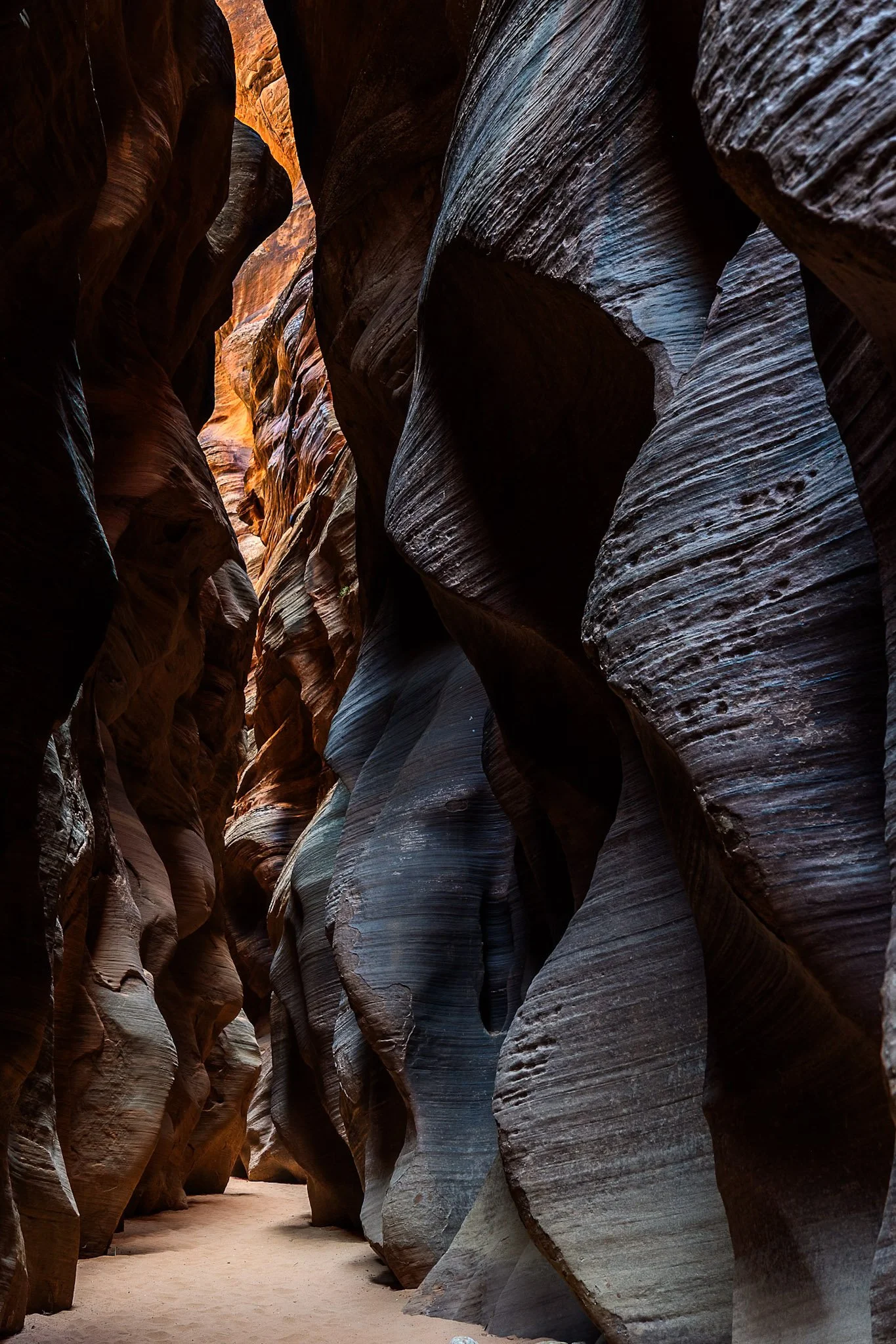
Buckskin Gulch, located in the Paria Canyon-Vermilion Cliffs Wilderness area, is the longest and deepest slot canyon in United States and possibly the world.
Marked by their sinuous carved rock, typically sandstone, slot canyons are often formed through water erosion, particularly flash floods. These are what make these beautiful canyons so dangerous, as water can be carried from a rainstorm many miles away leading to deadly flash flood during clear skies with no escape route.
Fairly deep into the canyon at this point, I had made sure to observed several weather apps before embarking. Two years earlier with only one day to hike it, I called off the hike due to a 1% chance of rain. I later found out that chance was responsible for flooded the canyon, trail, and road all the way to US Route 89, a distance of three miles.

The Bisti Badlands are a remote and alien world in northwest New Mexico located in the Bisti/De-Na-Zin Wilderness, protected by the Bureau of Land Management.
The name comes from the Dinë (Navajo) word “Bistahi” translating roughly to “among the adobe formations”. The wind-formed hoodoos in this region are numerous leading to bizarre formations, varied colors, and precariously balanced rocks.
Backpacking into the desolate desert the previous night, a place where no trail exits, I woke up early the next morning to capture the morning light. This land lives beautiful isolation, undisturbed, as the elements continue their magnificent sculpting each day.

Buckskin Gulch, located in the Paria Canyon-Vermilion Cliffs Wilderness area, is the longest and deepest slot canyon in United States and possibly the world.
Marked by their sinuous carved rock, typically sandstone, slot canyons are often formed through water erosion over long periods of time and are particularly prone to flash floods. With these floods comes large debris, and often it does not always escape the canyon.
The base of this large tree is one such beautifully eerie example, requiring some maneuvering to proceed further into the canyon. On the way back I made sure to highlight this unique occurrence with one quick shot.

Iconic, religious, Hollywood-graced, the West Mitten Butte watches over the land of Monument Valley, a stunning area residing along the Utah-Arizona border.
These buttes hold major religious significance for the Navajo. Legend holds they are the remains of great religious deities. Filmmaker John Ford found his home in Monument Valley, countless westerns there with John Wayne, with the Mittens featuring prominently in such films as “The Searchers” (1956) and have now become icons of the American West.
Monument Valley maintains one of the best campsites I’ve ever had the pleasure of camping at, and it is a perfect one for photographing the Mittens. The campsite sits atop a sand band looking straight out towards The Mittens, evoking a drive-in movie theater, replacing the screen with one of the best views in the West.

Buckskin Gulch, located in the Paria Canyon-Vermilion Cliffs Wilderness area, is the longest, deepest slot canyon in United States and possibly the world.
Marked by their sinuous carved rock, typically sandstone, slot canyons are often formed through water erosion, particularly flash floods. This is also what make these beautiful canyons so dangerous, as water can be carried from a rainstorm several miles away bringing a sudden flash flood during clear skies with no escape route available.
I was amazed by the plants lining these walls, positioning themselves to receive the most light, showing again life’s ability to survival and thrive in the most unlikely places.

Originally covered by oceans and rivers, Monument Valley is a testament to time. Located on the Colorado Plateau near the Arizona-Utah Border, the valley displays the wondrous effects of weathering and erosion.
With the softer rock being eaten away over time by the elements, the harder rock is left exposed in curious and awe-inspiring formations that have religious significance for the Diné (Navajo) People and iconic significance for the American West.
Pictured here is “Sentinel Rock” profiled with an edge light from the setting sun. I was able to capture this photo right from my campsite, one of the most beautiful I’ve ever camped at, which also sits facing The Mittens.

Iconic, religious, Hollywood-graced, the East and West Mitten Buttes tower over the landscape at Monument Valley along the Utah-Arizona border.
These buttes hold religious significance for the Navajo People with legend holding that they are the remains of great religious deities. Later John Ford found his home in Monument Valley and made countless westerns there with John Wayne, with the Mittens featuring prominently in films such as “The Searchers” (1956).
Monument Valley maintains one of the best campsites I’ve ever had the pleasure of camping at. It sits atop a sand band looking out towards The Mittens, evoking a drive-in movie theater, replacing the screen with one of the best views in the West. I later focused my efforts on the West Mitten at sunset.
The dunes in and around Coral Pink Sand Dunes State Park, located on the border of Utah, are primarily shaped by wind and erosion, which picks up and transports sand particles across the valley floor. Sediment from surrounding mountains supplies the sand forming these natural features.
The area is known for frequent ATV usage, allowing visitors to traverse the dune system in style. Sandboarding is also available for purchase from the state park, but be careful, as these boards gain some speed especially on the larger dunes.
This was my third visit to the state park, and there’s a reason I keep coming back. The campsite is phenomenal, allowing access to the dune system from the campground. I grabbed this shot right before my friend’s footprints ruined the pristine, untouched dune. This was the first stop on my most recent trip to the Kanab area, with the next stop being the dangerously beautiful Buckskin Gulch.