

California

California
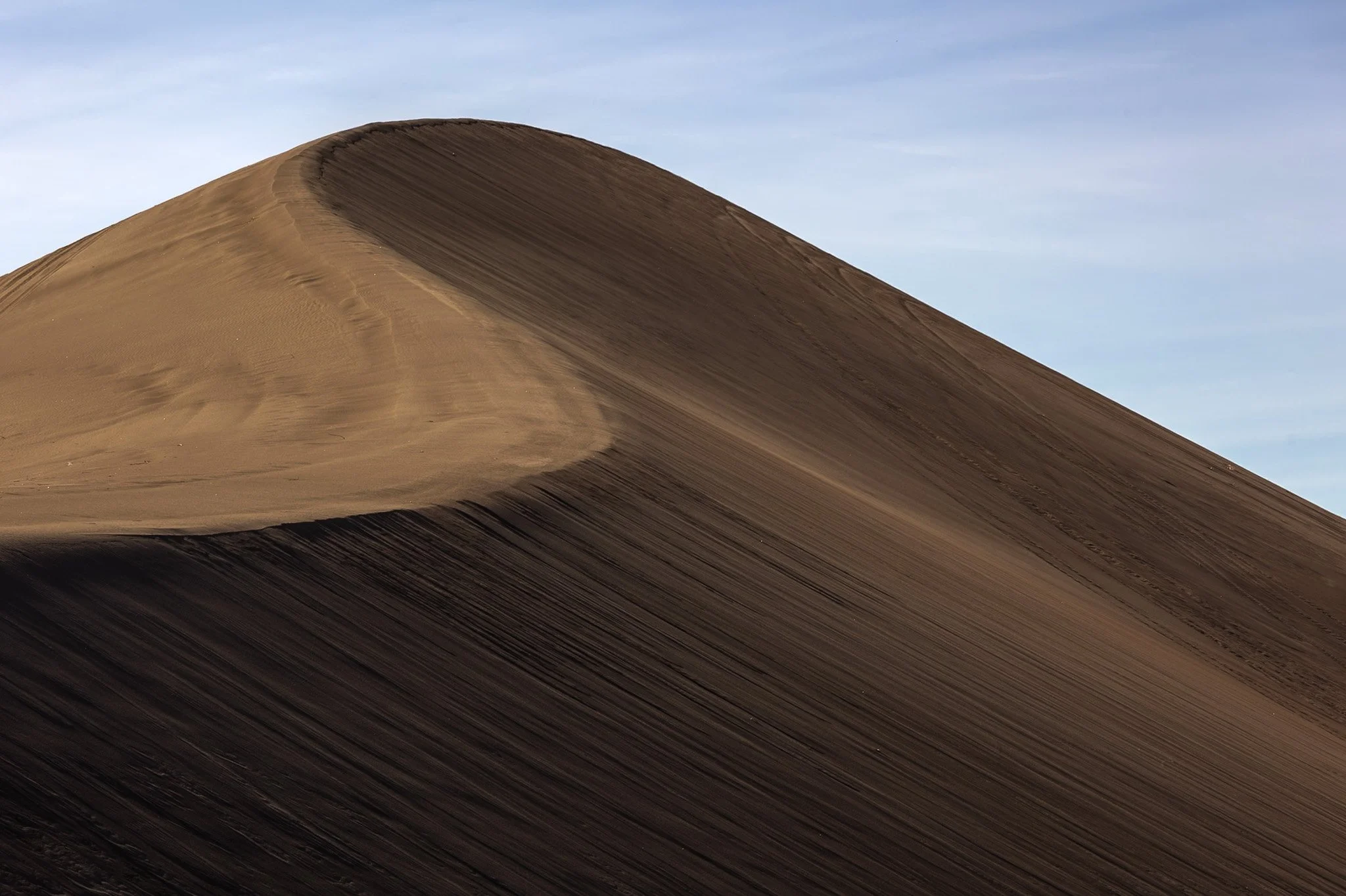
The dunes in and around Death Valley are primarily shaped by wind, which picks up and transports sand particles across the valley floor. Sediment from surrounding mountains supplies the sand forming these natural features.
The wind's constant movement reshape the dunes, causing them to shift across the valley, often forming barchan dunes which hold crescent shapes, such as the one seen here.
I found this specific dune formation completely deserted (excuse the pun) in the early morning. Walking to the base of it, it was tough not to be struck by the gigantic sense of time, space, and form the area offers up. This telephoto capture isolated its gentle untouched waves towering on the horizon from miles away.
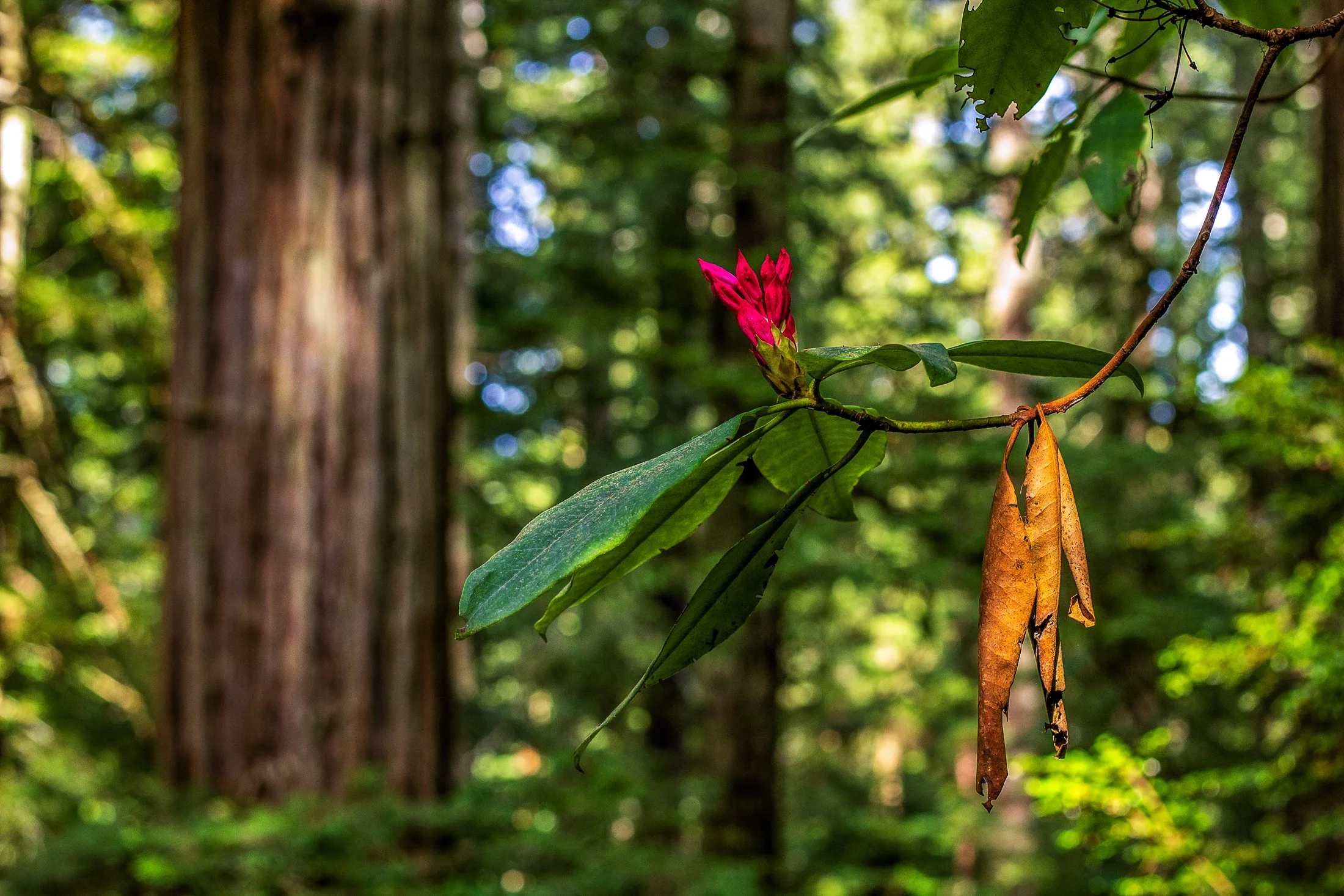
Humboldt County of Northern California is home to the southern section of the towering Redwood Forests which are conjoined effort of the National & State Park systems.
Contained within this section is the 31-mile world famous Avenue of the Giants. A mostly flat drive with gentle curves, passing secluded forest hamlets, campgrounds, picnic areas, and areas along the Eel River.
Offering extensive hiking trails, this was taken on a 5 mile loop, and finding this budding flower next to a dying leaf providing the perfect foreground to this vast redwood background.
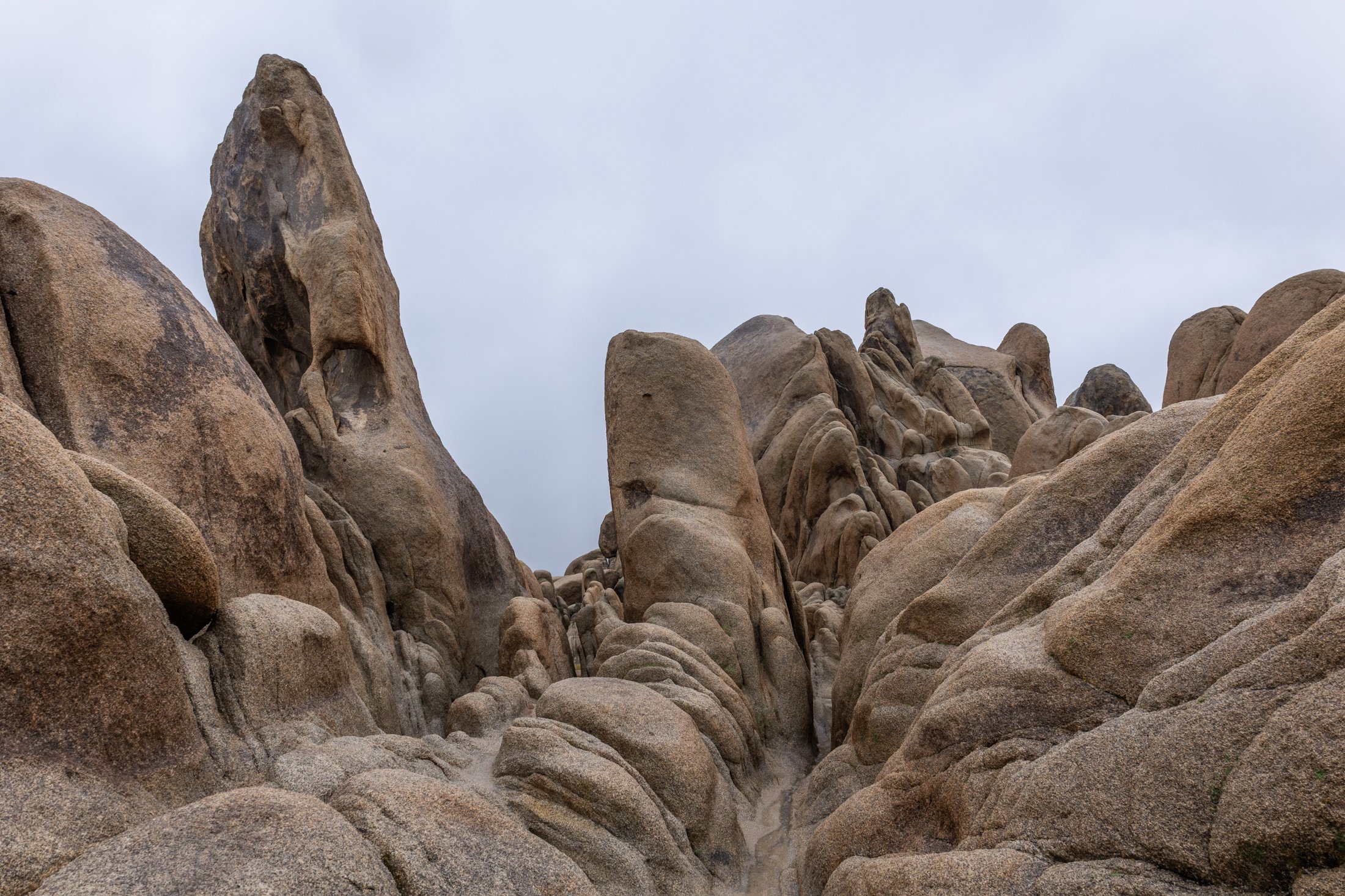
Joshua Tree National Park, located in southeastern California, about 150 miles east of Los Angeles, is famous for its dramatic granite rock formations. Over tens to hundreds of millions of years uplift and weathering left the overlying rock exposed.
This physical weathering peeled the outer layers from the rock while desert flash floods carried away loosened material, leaving stacked, rounded boulders, domes, and monoliths.
This was my third trip to Joshua Tree and each time has been a different adventure. The grippy granite rock makes it a very fun park to rock scramble in but this particular day rain and fog dominated the landscape, a unique occurrence that required the correct gear to capture this image. This unique formation is located right next to Arch Rock and the maze-like quality showed off the singular uniqueness of this National Park.

Highway 1 through Big Sur, California, is one of the most iconic drives in the world, offering dramatic views of the rugged Californian coast. Known for its winding road, narrow bridges, and steep cliffs, this section of highway hugs the coastline for nearly 90 miles before terminating just south of San Francisco.
Originally completed in the 1930s using convict labor and WPA funding, the road has been repeatedly closed and rebuilt due to landslides and erosion common in the area. Despite its challenges, Highway 1 remains a vital lifeline for Big Sur’s small communities and tourism-based economy.
Driving the One is something that cannot be described and must be experienced. This shot was accomplished by holding the camera out the driver’s side window, making sure I had a high shutter speed to stop motion, and trying to angle it in a way that might lead to a good composition. It was a lucky shot and not a great way to photograph, safety first.
Opened in 1937, the Golden Gate Bridge is a marvel of modern engineering. Designed by one Joseph Strauss, the bridge was painted orange to help visibility through the common San Francisco fog. The bridge runs 1.7 miles in length and extends to a height of 746 feet.
Seagulls are a familiar presence around the Golden Gate Bridge. These large, intelligent birds are often seen soaring in the updrafts, perched on railings, or scavenging along the nearby shorelines
This shot was another case of being in the right place at the right time. Arriving at my hotel an hour before sunset completely spent from a full day drive along Big Sur, I dropped my bag in my hotel and immediately started walking towards the bridge. Miscalculating the distance it would take to reach the vantage point I had planned, this shot came as a result of randomly being in the right place at the right time.