

Summer
The area around Starved Rock State Park near Utica, Illinois, is one of the most scenic Illinois has to offer. The Illinois River cuts through the area and was one of the few areas in Illinois not flattened by glacial drift.
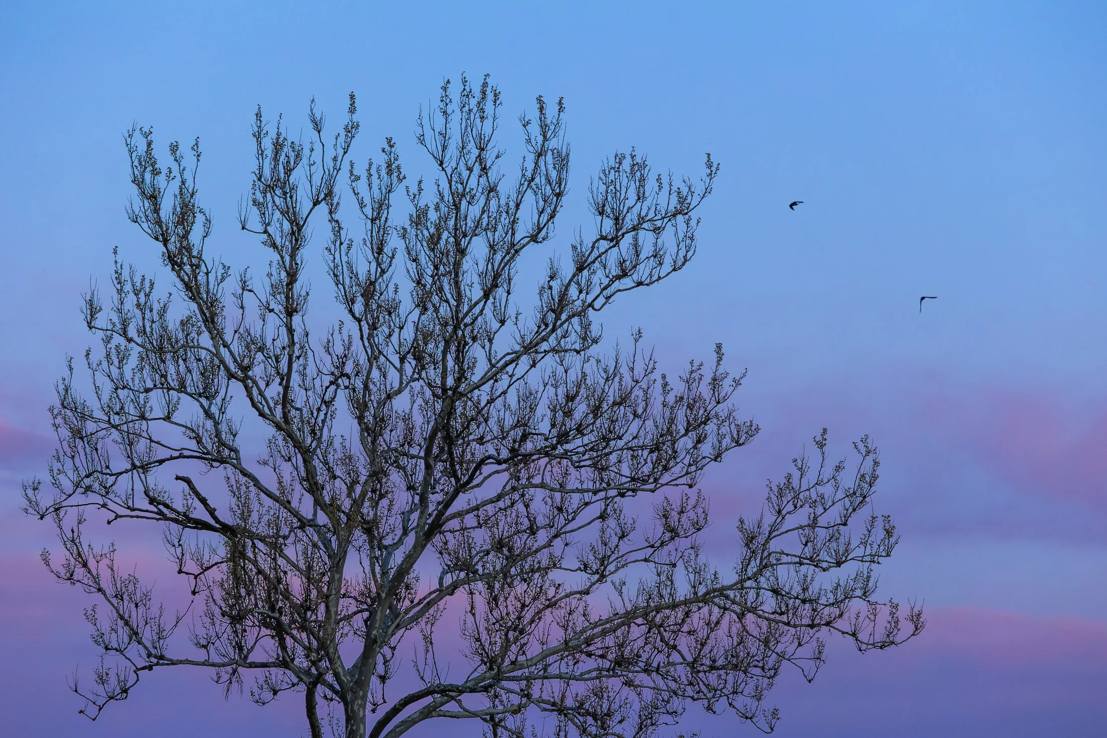
This beautiful tree on the bank of the Illinois river is a Sycamore, known as the London Plane. Often planted in the Victorian area to help quell the London pollution caused by the Industrial Revolution, this tree has been a stable of urban development. It can incur a disease known as the Witches Broom, causing the shoots to bunch up which also offers a natural nest for nearby birds.
Camping on the edge of the Illinois after a trip to Starved Rock, I set up my tripod to capture the active birds at sunset, but then this Sycamore caught my eye. The composition of the eerie branches against the beautiful purple glow of the setting sun was mad even better by the birds passing through the area.
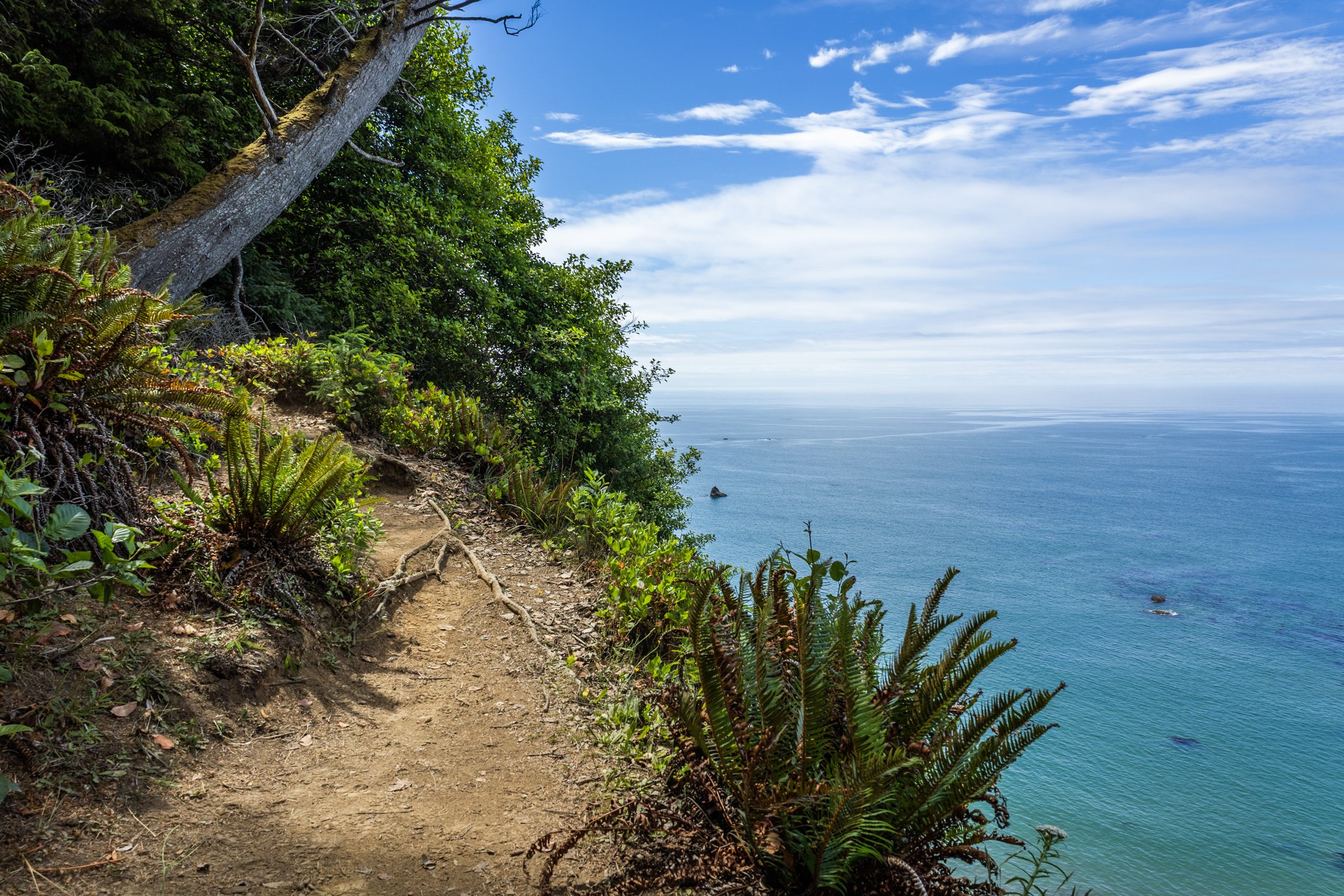
The South Coast Wilderness Trail is a stunning, rugged, and truly wild 17 mile one-way hike through Olympic National Park. One of the last undeveloped coastlines in the contiguous United States, Olympic’s protection status ensures native species like sea otters, bald eagles, bears, and migrating whales will continue to thrive in this pristine wilderness.
Switching between stretches of picturesque coast and dense rainforest, the trek (which is at sea level) entails 2,000 feet in elevation change, due to the use of ladders and ropes to maneuver up and down coastal embankments.
This was one such area on my backpacking trip where the trail climbed several hundred feet following a rope climb from the beach. The blue of this area of the Pacific is stunning, especially contrasted with the lush greenery of Olympic’s rainforest.
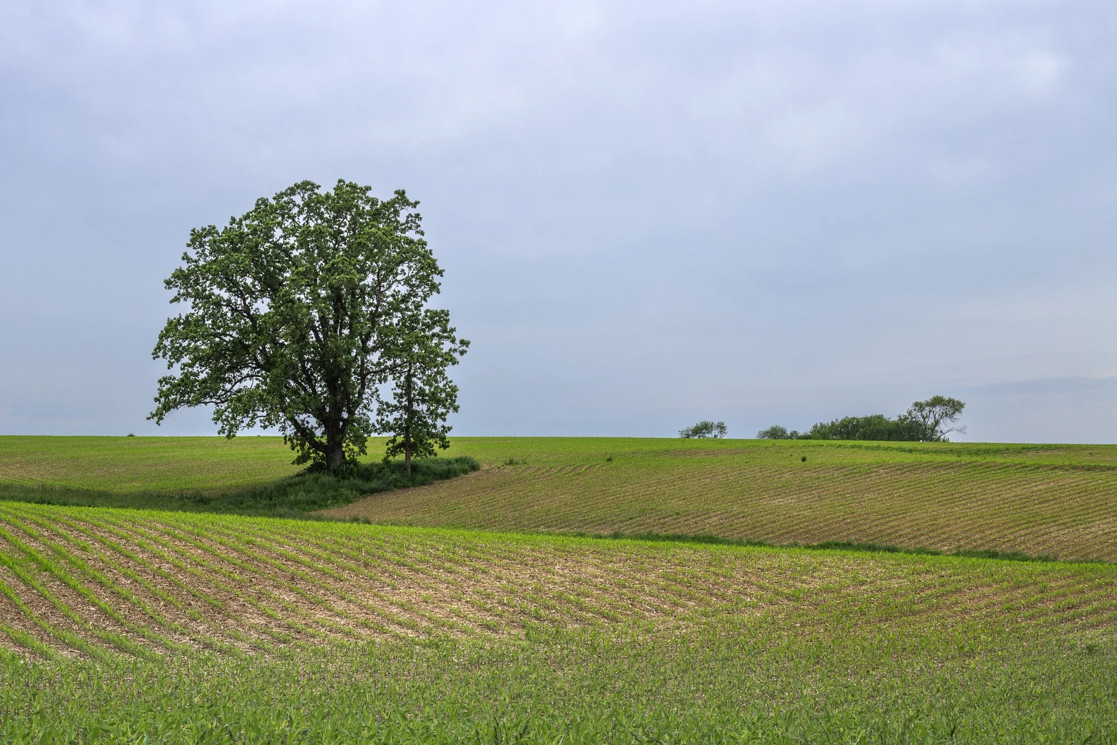
The cornfields near Polo, IL follow twists and turns as the land enters the Driftless Area. It is here where the sinuous and hilly terrain begin to take over. This area, and Illinois in general, is a very prominent agricultural hub for a variety of crops.
Previously a historic route to Galena, this picturesque area was rift with natural prairie prior to its transformation for agricultural purposes, but the beauty still remains.
This area is one I have visited often and will eventually be a part of a series when I capture the right fall photo. The composition of this lone tree set against the distant row of trees in the background shows what is possibly an old boundary tree isolated in a crop field.
Acadia National Park, located southwest of Bar Harbor, is as picturesque as a national park can be. The varied terrain presents itself as one thing and then transforms into another. Known for its rugged coast and rocky cliffs, the national park offers a variety of hiking trails, loops, and climbs giving you a different perspective every direction you look.
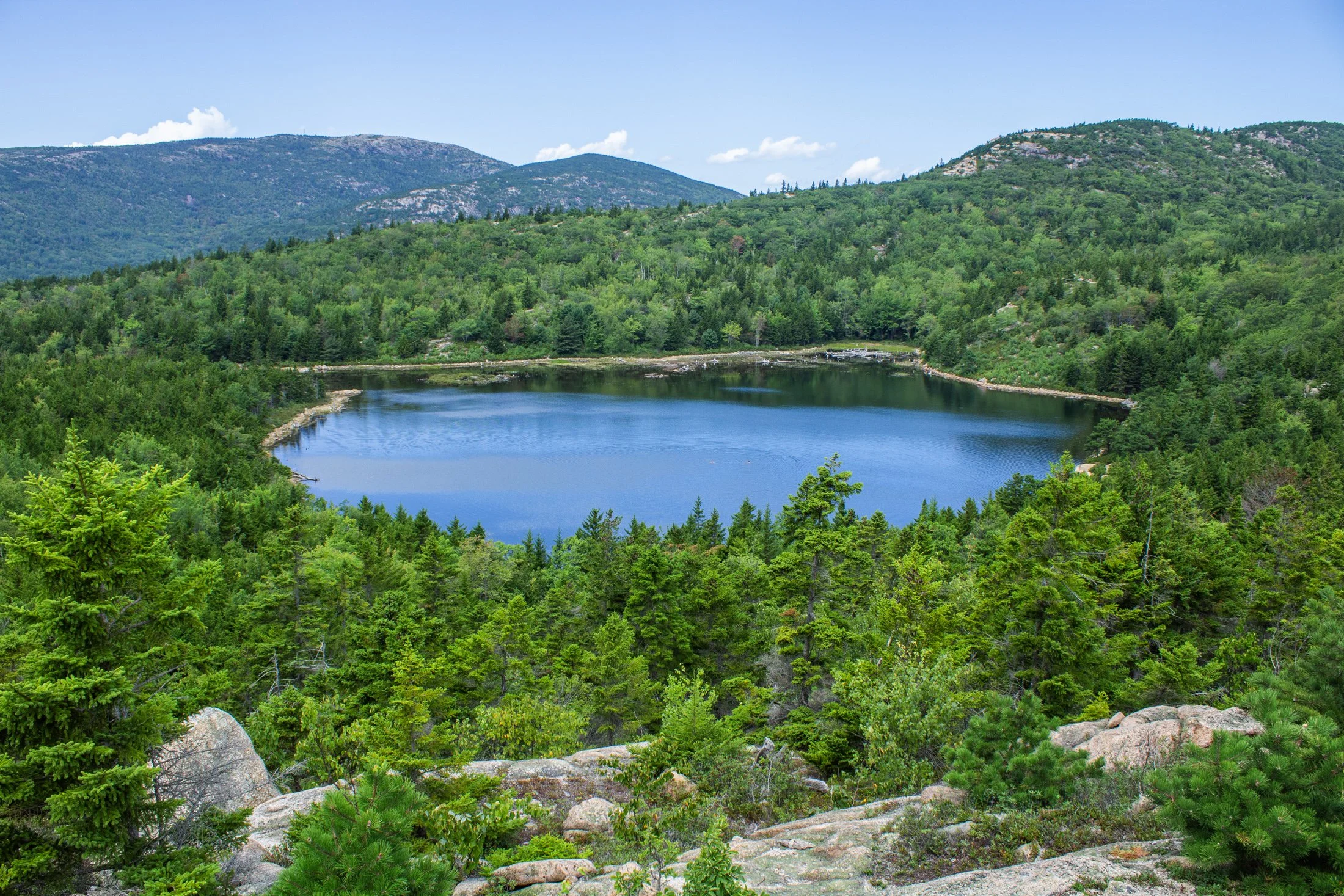
This pond, known as The Bowl, was formed by glacial activity like many of the features in Acadia. This left a rounded, shallow basin surrounded by hills and rocky outcrops such as the one this photo was taken from.
Following a hike from our campsite a few miles away, we were able to avoid parking debacle Acadia is often known for. Climbing the precarious Beehive Trail, we were affording stunning views of the Atlantic Ocean on one side, and this picturesque lake on the other.
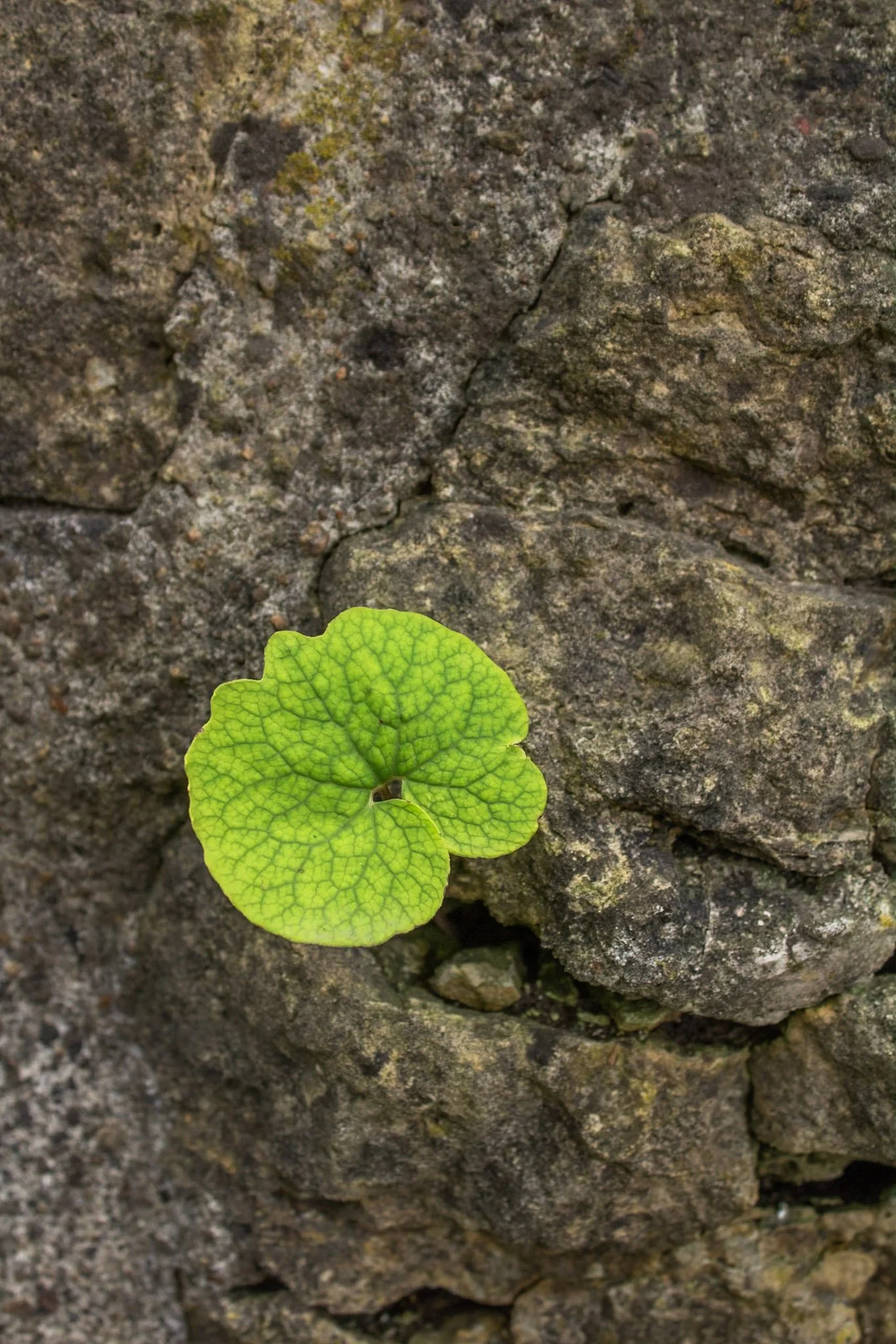
This photo was taken at the Hurstville Lime Kilns, located north of Maquoketa, Iowa.
Listed on the National Register of Historic Places, four kilns remain from the operation that supplied much of the Midwest masonry efforts during the late 1800s and early 1900s.
This one spec of green among a bed of stone immediately caught my eye, and I was fascinated with the way it somehow found its way through. Life always seems to find a way to adapt to its environment.
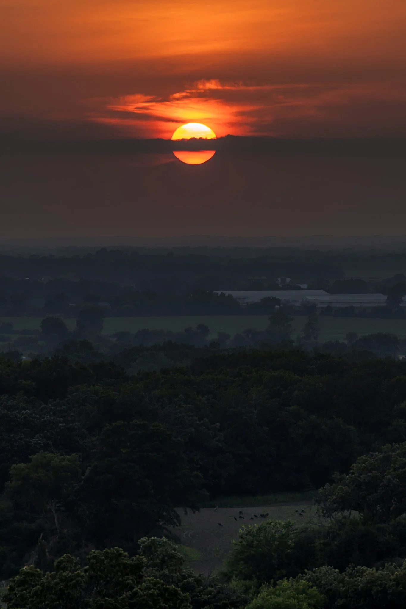
Kettle Moraine is a beautiful unique region in southeastern Wisconsin, shaped by the massive glaciers carving the landscape during the last ice age. The area features continuous rolling hills, deep valleys, and kettle lakes.
Named for the unique glacial carvings, kettles exist as depressions in the earth that fill with water over time, creating serene ponds and lakes. John Muir’s family immigrated to Wisconsin as a child, settling on a farm near the rugged terrain of the Kettle Moraine. This area played a crucial role in shaping his philosophy of conservation and his advocacy for preserving wild spaces.
Hiking through the forests of Kettle Moraine was an experience i did not expect. Each turn reveals a new region distinct from the last. This hike from my campsite to the one prominent overlook in the area ended with a stunning sunset overlooking the pastoral lands below.

From above, Chicago’s famous grid system becomes a kind of urban quilt, stitched with rivers, highways, and rails. The skyline, punctuated by towers like the Willis Tower (though for Chicagoans it will forever be known as the Sears) and the St. Regis, rises like a great sculpture.
The city’s architecture seamlessly incorporates styles ranging from Gothic Revival and Art Deco to International and Postmodern, all layered along the river and gridded streets. Notable landmarks like Marina City, the Tribune Tower, and buildings by Frank Lloyd Wright create a living timeline of American design.
This photograph was taken while departing for O’Hare, heading toward New York. This was the tail-end of a storm and the cumulonimbus clouds gave a staggering scale of the sky in relation to the city, one which will forever remain my home.

Art on the MART is a large-scale public art installation in Chicago that transforms the façade of the Merchandise Mart building into a digital canvas. Launched in 2018, it features nightly projections of contemporary art across 2.5 acres of the building’s river-facing side, making it the largest digital art projection in the world.
The installation showcases work from local, national, and international artists, often in collaboration with cultural institutions like the Art Institute of Chicago and the Chicago Symphony Orchestra. The projections are free and open to the public, and they typically run from spring through fall.
This offered me a secluded area to shoot, away from the hustle and bustle of the main viewing platform along the river, and provided the perfect vantage point to show off all that makes Chicago great, especially its world class architecture.

Highway 1 through Big Sur, California, is one of the most iconic drives in the world, offering dramatic views of the rugged Californian coast. Known for its winding road, narrow bridges, and steep cliffs, this section of highway hugs the coastline for nearly 90 miles before terminating just south of San Francisco.
Originally completed in the 1930s using convict labor and WPA funding, the road has been repeatedly closed and rebuilt due to landslides and erosion common in the area. Despite its challenges, Highway 1 remains a vital lifeline for Big Sur’s small communities and tourism-based economy.
Driving the One is something that cannot be described and must be experienced. This shot was accomplished by holding the camera out the driver’s side window, making sure I had a high shutter speed to stop motion, and trying to angle it in a way that might lead to a good composition. It was a lucky shot and not a great way to photograph, safety first.

The Palouse region, located in southeastern Washington and extending into portions of Idaho and Oregon, was originally home to the Palus people, historically known for breeding strong horses, but the U.S. government did not acknowledge them as a distinct tribe in the late 1800s as settlers arrived under the Homestead Act.
Indigenous communities were displaced, and the land was drastically reshaped by agriculture. The region’s deep loess soil and steep terrain led farmers to adopt contour plowing, giving the fields their signature flowing appearance.
Traveling through the Palouse region was an out of body experience. The word space took on a new meaning as I meandered through its rolling hills. This scene, found on one of the many gravel roads winding through the area, seemed to recall Bliss, photographed by Charles O’Rear in California.
Maybe Microsoft needs a new screensaver…
The Canal Street railroad bridge located north of Chinatown in Chicago, Illinois, it one of the most famous bridges in Chicago. Built for the Pennsylvania Railroad, it was finished in 1914 and designated as a national landmark in 2007.
The bridge replaced a swing bridge that was in the same location so to prevent obstructing traffic, the bridge was built in the raised position while the old bridge still operated. Upon completion, the old bridge was demolished and the railroad bridge still operates to this day.
On a trip to Chinatown with some fellow photographers at sunset, this view caught my eye as we headed north. The bridge provided a compositional pointer finger to one of Chicago’s most iconic landmark, the Willis Tower (although it will forever be known to Chicagoans as the Sears).