

Open Spaces
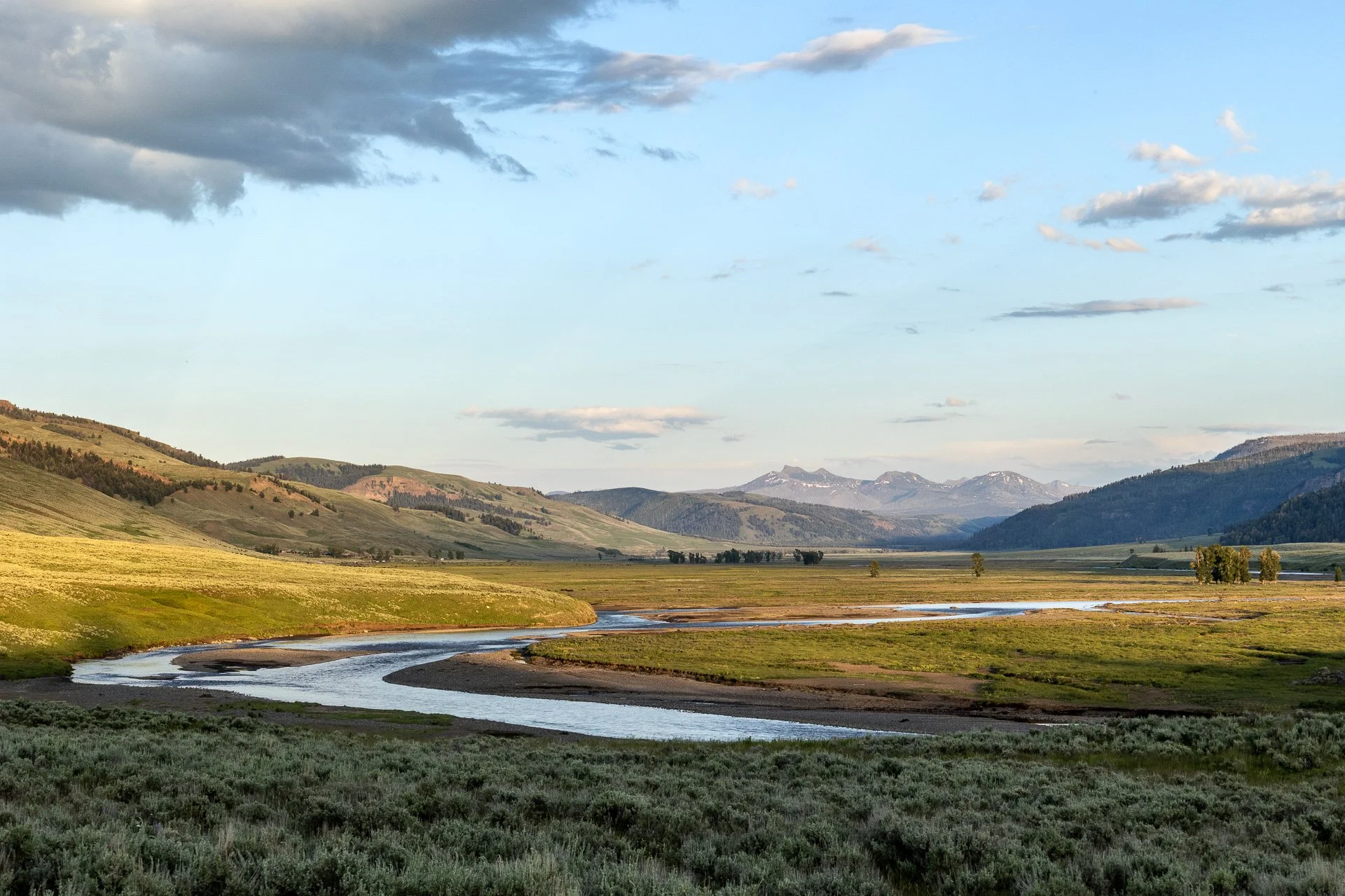
Open Spaces
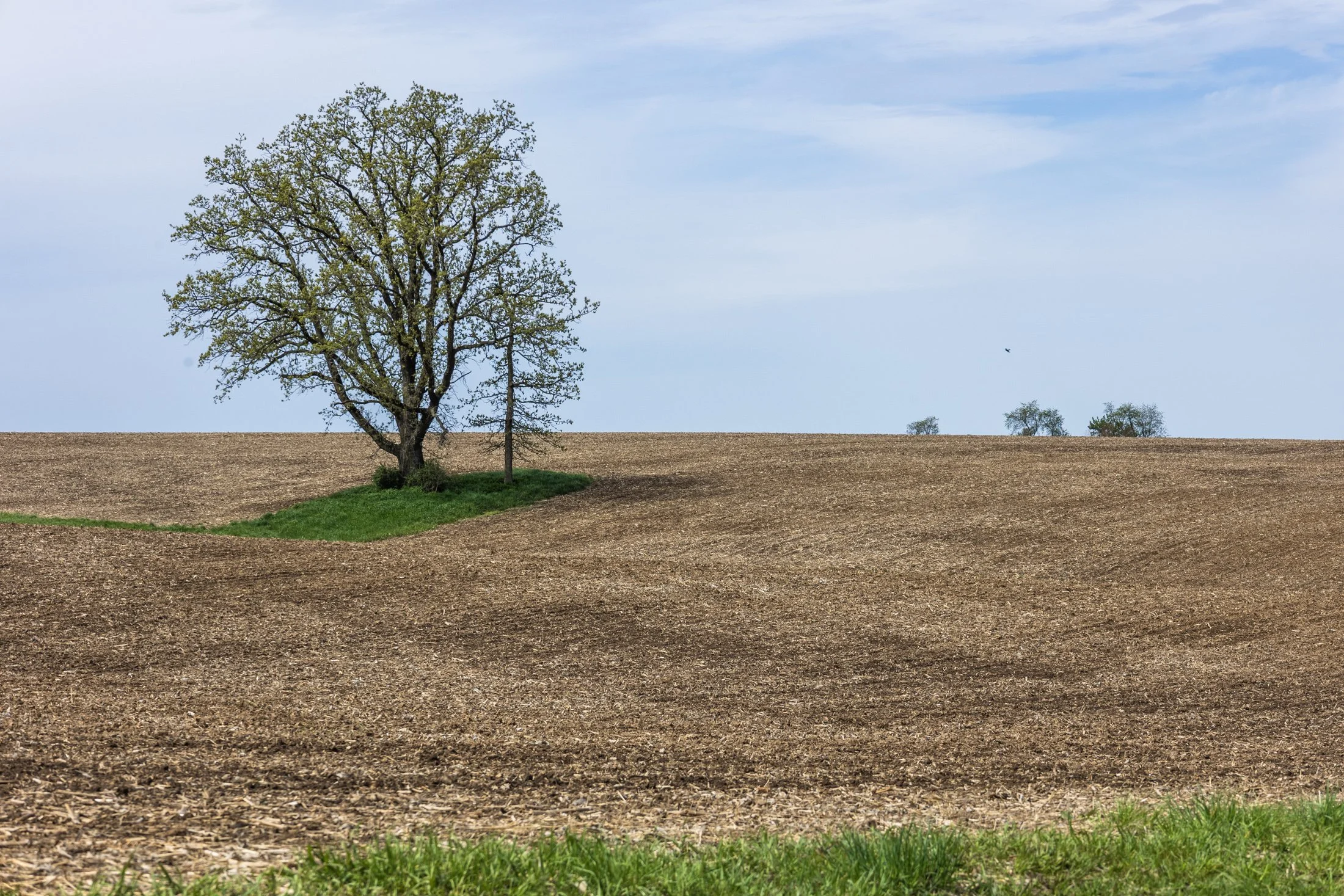
The cornfields near Polo, IL follow twists and turns as the land enters the Driftless Area. It is here where the sinuous and hilly terrain begin to take over. This area, and Illinois in general, is a very prominent agricultural hub for a variety of crops.
Previously a historic route to Galena, this picturesque area was rift with natural prairie prior to its transformation for agricultural purposes, but the beauty still remains.
This area is one I have visited often and will eventually be a part of a series when I capture the right fall photo. The composition of this lone tree set against the distant row of trees in the background shows what is possibly an old boundary tree isolated in a crop field.
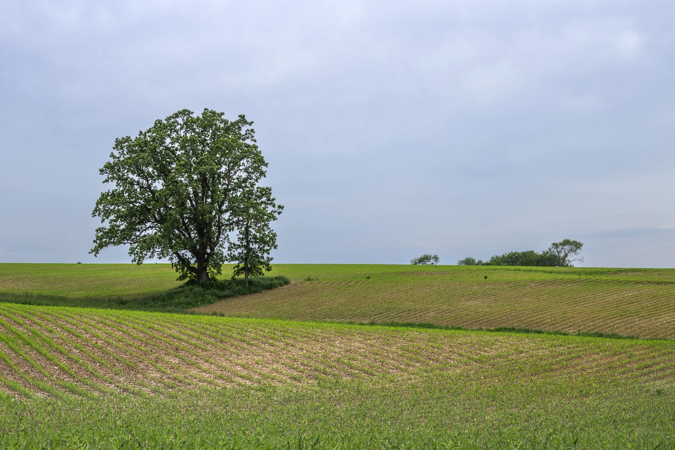
The cornfields near Polo, IL follow twists and turns as the land enters the Driftless Area. It is here where the sinuous and hilly terrain begin to take over. This area, and Illinois in general, is a very prominent agricultural hub for a variety of crops.
Previously a historic route to Galena, this picturesque area was rift with natural prairie prior to its transformation for agricultural purposes, but the beauty still remains.
This area is one I have visited often and will eventually be a part of a series when I capture the right fall photo. The composition of this lone tree set against the distant row of trees in the background shows what is possibly an old boundary tree isolated in a crop field.
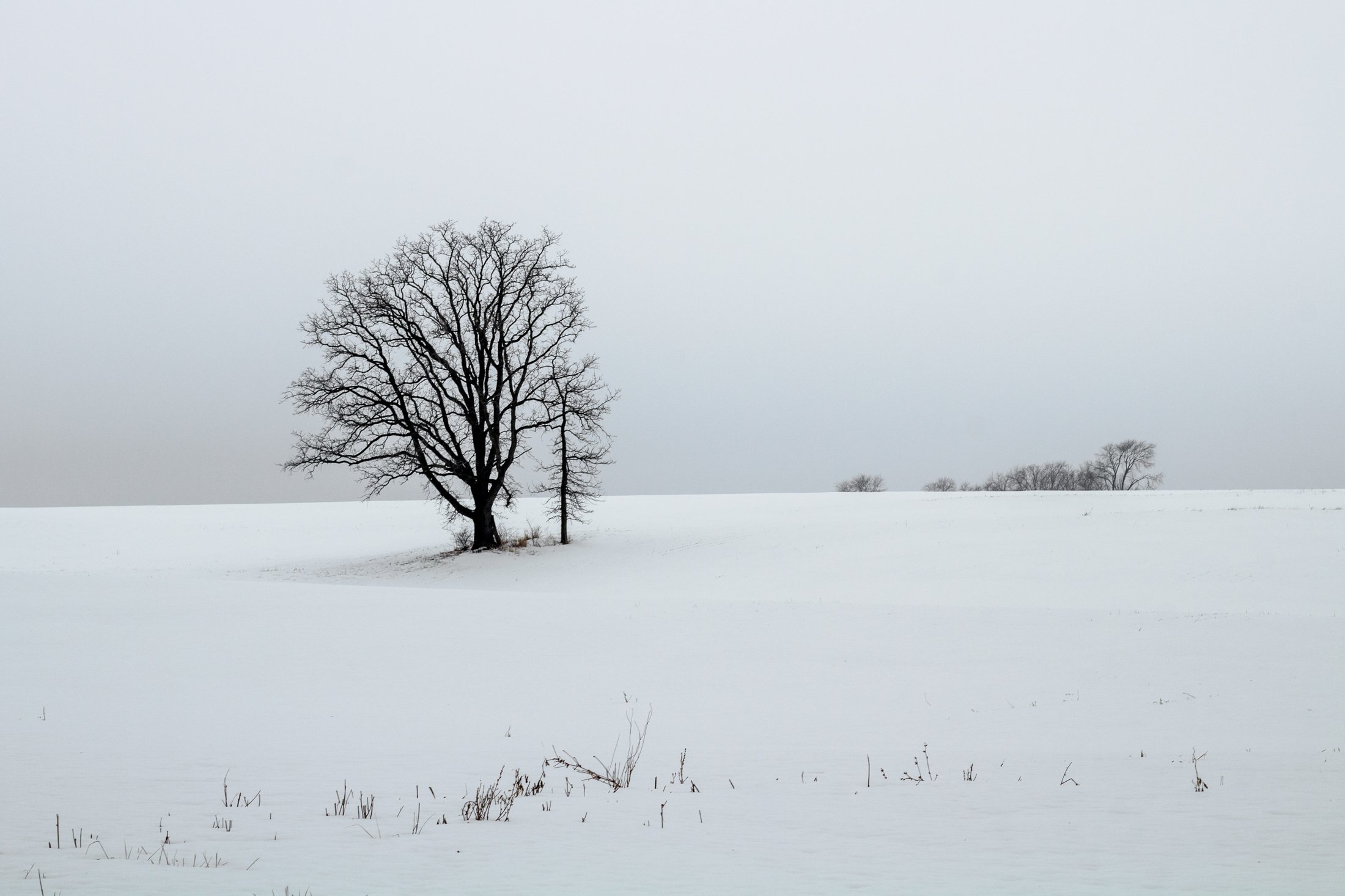
The cornfields near Polo, IL follow twists and turns as the land enters the Driftless Area. It is here where the sinuous and hilly terrain begin to take over. This area, and Illinois in general, is a very prominent agricultural hub for a variety of crops.
This particular area is one I have revisited often, and is part of an ongoing seasonal series yet to be published. This specific scene reminded me of something out of the film Fargo, with the delicate blanket of snow covering the fertile soil beneath.
The composition of this lone tree set against the distant row of trees in the background provided the proper depth for the open spaces these farmlands offer. Previously a historic route to Galena, this picturesque area was rift with natural prairie prior to its transformation for agricultural purposes, but the beauty still remains.
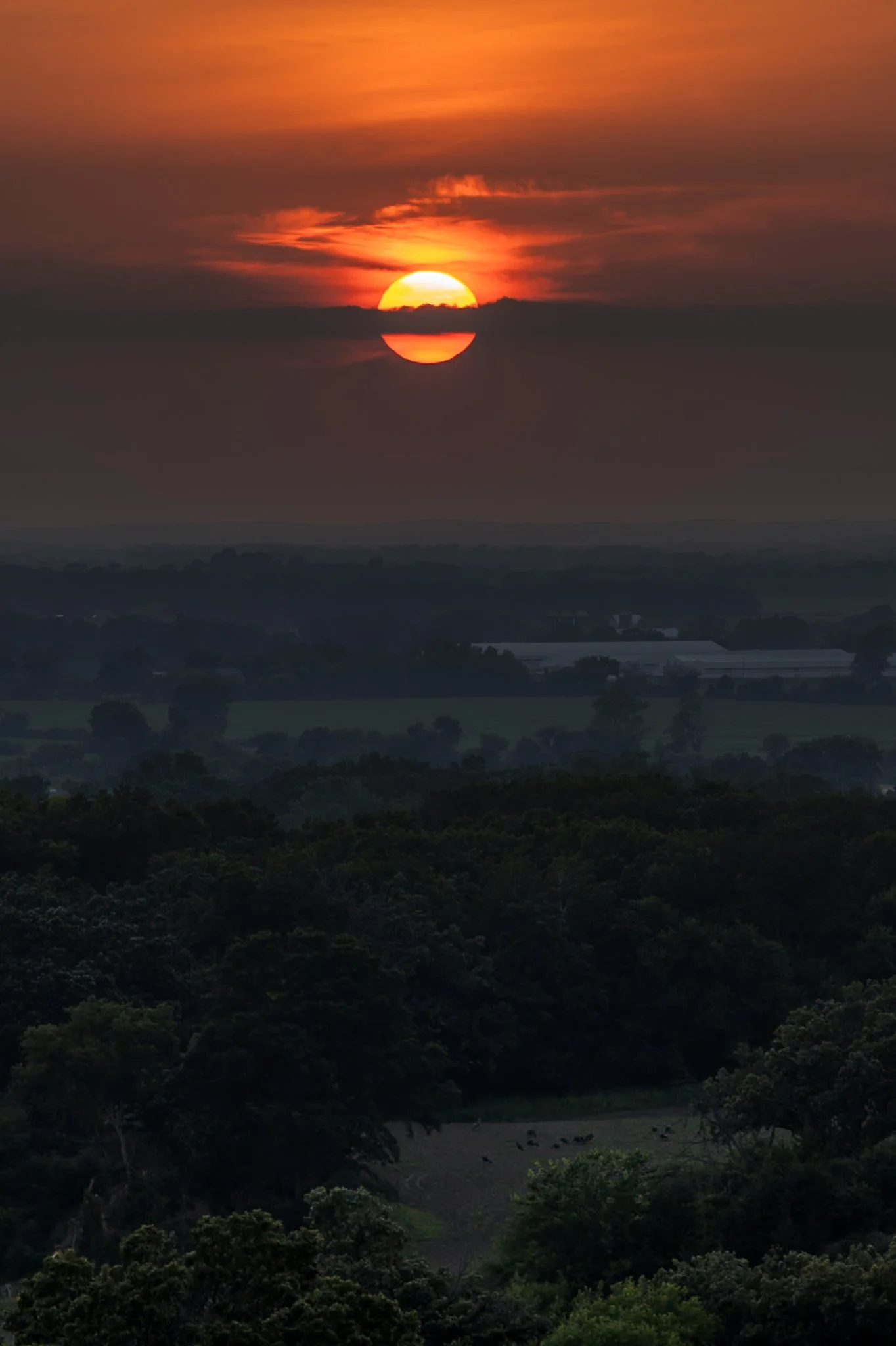
Kettle Moraine is a beautiful unique region in southeastern Wisconsin, shaped by the massive glaciers carving the landscape during the last ice age. The area features continuous rolling hills, deep valleys, and kettle lakes.
Named for the unique glacial carvings, kettles exist as depressions in the earth that fill with water over time, creating serene ponds and lakes. John Muir’s family immigrated to Wisconsin as a child, settling on a farm near the rugged terrain of the Kettle Moraine. This area played a crucial role in shaping his philosophy of conservation and his advocacy for preserving wild spaces.
Hiking through the forests of Kettle Moraine was an experience i did not expect. Each turn reveals a new region distinct from the last. This hike from my campsite to the one prominent overlook in the area ended with a stunning sunset overlooking the pastoral lands below.
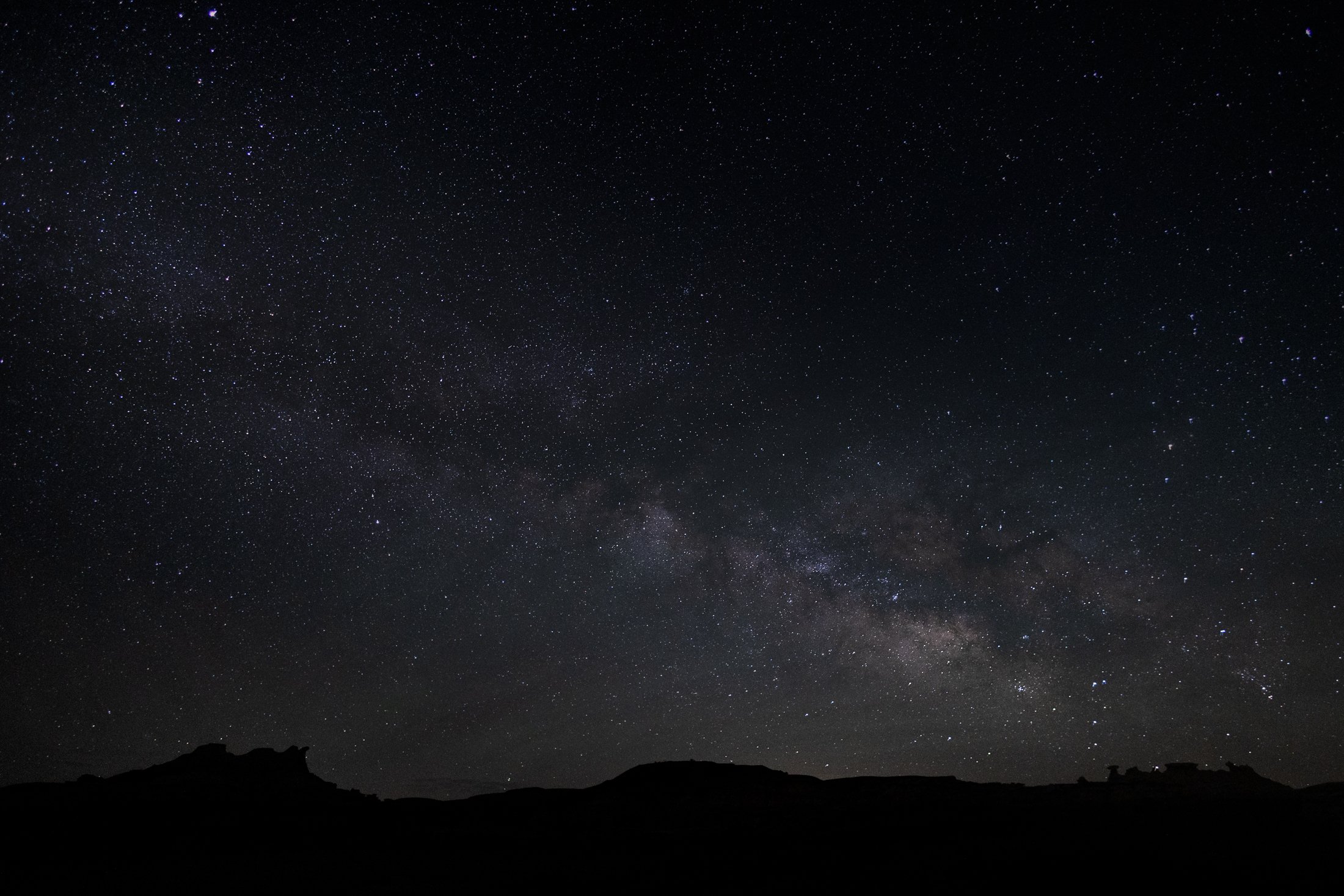
The Bisti Badlands are a remote and alien world in northwest New Mexico situated in the Bisti/De-Na-Zin Wilderness, an area protected by the Bureau of Land Management.
The name comes from the Dinë (Navajo) word “Bistahi” translating roughly to “among the adobe formations”. The wind-formed hoodoos in this region are numerous leading to bizarre formations, varied colors, and precariously balanced rocks. The area doubles as a designated dark sky territory providing an unpolluted night sky.
This was my second time visiting this desolate world, and this time I backpacked in at sunset and spent the entire night photographing around camp, using my headlamp to paint the rocks. Finally, late into the night, the Milky Way became visible with the naked eye, and this silhouette of the landscape perfectly framed our beautiful galaxy. It was a stunning sight.

Highway 1 through Big Sur, California, is one of the most iconic drives in the world, offering dramatic views of the rugged Californian coast. Known for its winding road, narrow bridges, and steep cliffs, this section of highway hugs the coastline for nearly 90 miles before terminating just south of San Francisco.
Originally completed in the 1930s using convict labor and WPA funding, the road has been repeatedly closed and rebuilt due to landslides and erosion common in the area. Despite its challenges, Highway 1 remains a vital lifeline for Big Sur’s small communities and tourism-based economy.
Driving the One is something that cannot be described and must be experienced. This shot was accomplished by holding the camera out the driver’s side window, making sure I had a high shutter speed to stop motion, and trying to angle it in a way that might lead to a good composition. It was a lucky shot and not a great way to photograph, safety first.

Heceta Head is one of the most iconic and picturesque stretches along the Oregon Coast. Known for its historic lighthouse, dramatic cliffs, and panoramic views of the Pacific Ocean, it must be seen to be believed.
Located just north of Florence, Oregon, Heceta Head offers a blend of natural beauty, maritime history, and coastal ecology.
This photo came after photographing the Heceta Head lighthouse, which resides right behind this stunning view. The road curve seen in the distance is also the location of the nation’s only natural Sea Lion caves, accessible to tourists via an elevator.

In the Midwest, nuclear power plants are a vital part of the energy infrastructure, and many of them are surrounded by sprawling cornfields. This unusual pairing is more practical than it might seem. Nuclear plants require large safety buffer zones, which makes rural farmland an ideal setting.
At the same time, the actual footprint of a nuclear facility is relatively small, allowing the surrounding land to continue being used for agriculture. Illinois, in particular, stands out as the top nuclear-generating state in the country, with 11 reactors at six sites, most of them nestled in farming regions.
Having just finished photographing these monoliths from the other side, I was stunned by the scene developing in my rear view mirror as I sped down the country road. With someone tailgating me, I signaled at the next service road, parked in front of a farm, and quickly set up my tripod to grab this shot.

The Oregon Dunes are one of the most unique and dramatic landscapes along the Oregon Coast, stretching roughly 40 miles from Florence to Coos Bay. Formed over thousands of years by wind, rain, and ocean forces, these dunes make up the largest coastal sand dune system in North America.
Some dunes will reach heights of up to 500 feet, creating a surreal and constantly shifting landscape that feels more like a desert than part of the lush Pacific Northwest. This vast expanse also contains coastal forests, wetlands, and freshwater lakes, making it an incredibly diverse ecosystem.
This lookout, pointing south, shows the beginnings of the dune system. I stopped off on the side of the road to grab this shot on my way to John Dellenback Dunes, one of the highlights of my trip and my first time stepping in quick sand.

The Palouse region, located in southeastern Washington and extending into portions of Idaho and Oregon, was originally home to the Palus people, historically known for breeding strong horses, but the U.S. government did not acknowledge them as a distinct tribe in the late 1800s as settlers arrived under the Homestead Act.
Indigenous communities were displaced, and the land was drastically reshaped by agriculture. The region’s deep loess soil and steep terrain led farmers to adopt contour plowing, giving the fields their signature flowing appearance.
I raced the descending sun following a long drive from Seattle, arriving just in time to catch the sunset atop Steptoe Butte, the one elevated area among the farmland. I set up next to a group of amateur photographers taking a class led by a knowledgeable local — which brings me to an interesting detail about the Palouse: I only encountered two types of people there — farmers and photographers. There might not be a better place to learn photography.

The Palouse region, located in southeastern Washington, extending into Idaho and Oregon was originally home to the Palus people. The area was transformed in the 1800s as settlers arrived under the Homestead Act.
Indigenous communities were displaced, and the land was reshaped by agriculture. The region’s deep loess soil and steep terrain led farmers to adopt contour plowing, giving the fields their signature flowing appearance.
Traveling through the Palouse region was an out of body experience. The word space takes on a new meaning as you meander through its rolling hills. The vibrant colors and different stages of tilling make each turn unique. Finding the form and color of this hillside fascinating, I decided it was worthy of its own frame.

The Palouse region, located in southeastern Washington and extending into portions of Idaho and Oregon, was originally home to the Palus people, historically known for breeding strong horses, but the U.S. government did not acknowledge them as a distinct tribe in the late 1800s as settlers arrived under the Homestead Act.
Indigenous communities were displaced, and the land was drastically reshaped by agriculture. The region’s deep loess soil and steep terrain led farmers to adopt contour plowing, giving the fields their signature flowing appearance.
Traveling through the Palouse region was an out of body experience. The word space took on a new meaning as I meandered through its rolling hills. This scene, found on one of the many gravel roads winding through the area, seemed to recall Bliss, photographed by Charles O’Rear in California.
Maybe Microsoft needs a new screensaver…
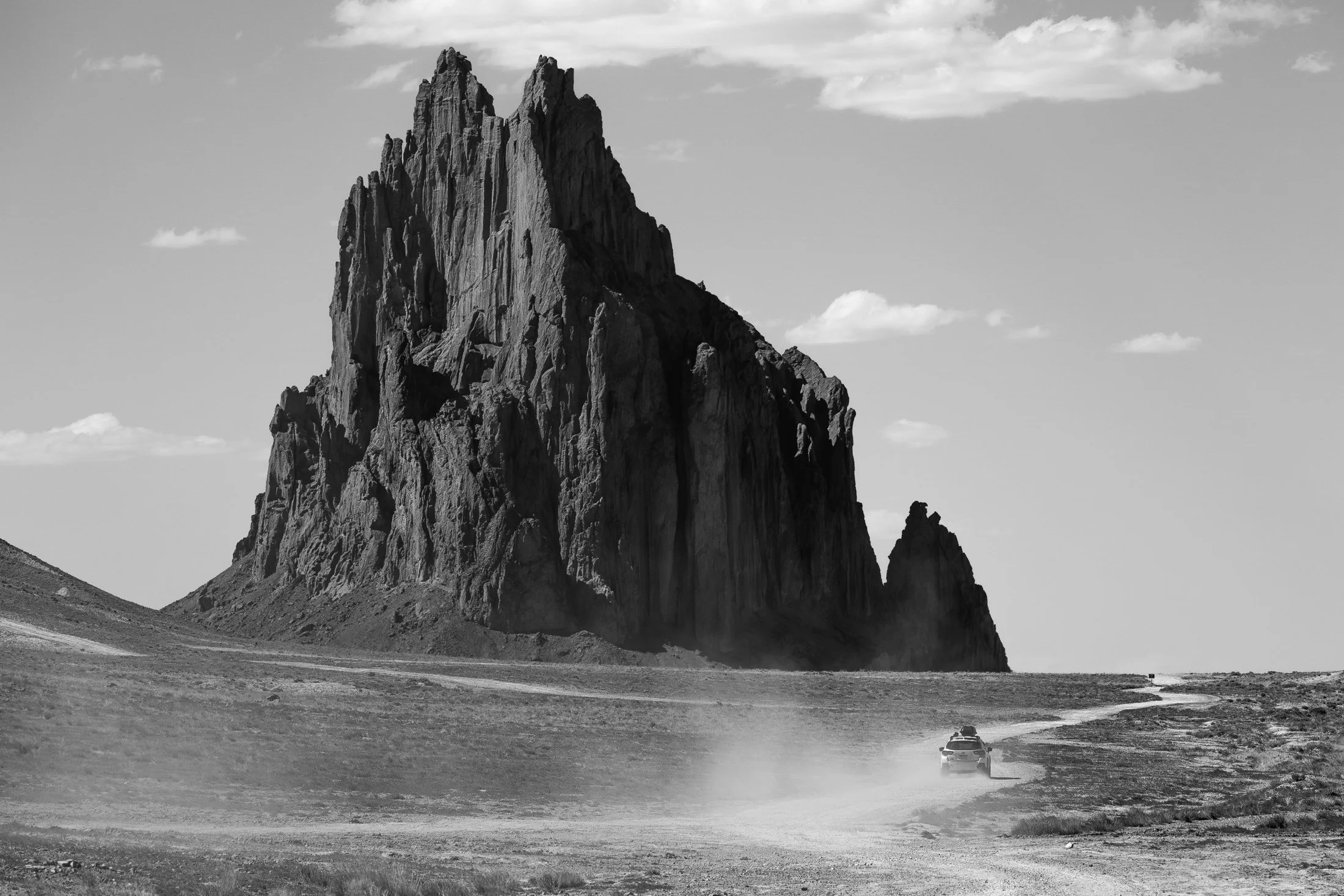
Located outside of Shiprock, New Mexico, the eponymous monolith is known by the Diné as Tsé Bit'a'í, which translates roughly to "Rock with Wings." The sacred site is a significant landmark to the Diné people, and approaching beyond a certain distance is off-limits to non-Diné travelers.
Tsé Bit'a'í is believed to be the remnant of a giant bird that played a crucial role in the creation story of the Diné. The formation, a volcanic neck, rises about 1,583 feet (482 meters) above the surrounding desert and is often considered one of the most iconic geological features in the region.
Upon approach, its gargantuan size becomes apparent, and one is left awestruck. There is no grand entrance, no signs of tourism, just the monolith towering over the surrounding land. A single car drove past, revealing a strange notion of time and space.
The dunes in and around Coral Pink Sand Dunes State Park, located on the border of Utah, are primarily shaped by wind and erosion, which picks up and transports sand particles across the valley floor. Sediment from surrounding mountains supplies the sand forming these natural features.
The area is known for frequent ATV usage, allowing visitors to traverse the dune system in style. Sandboarding is also available for purchase from the state park, but be careful, as these boards gain some speed especially on the larger dunes.
This was my third visit to the state park, and there’s a reason I keep coming back. The campsite is phenomenal, allowing access to the dune system from the campground. I grabbed this shot right before my friend’s footprints ruined the pristine, untouched dune. This was the first stop on my most recent trip to the Kanab area, with the next stop being the dangerously beautiful Buckskin Gulch.