

Illinois
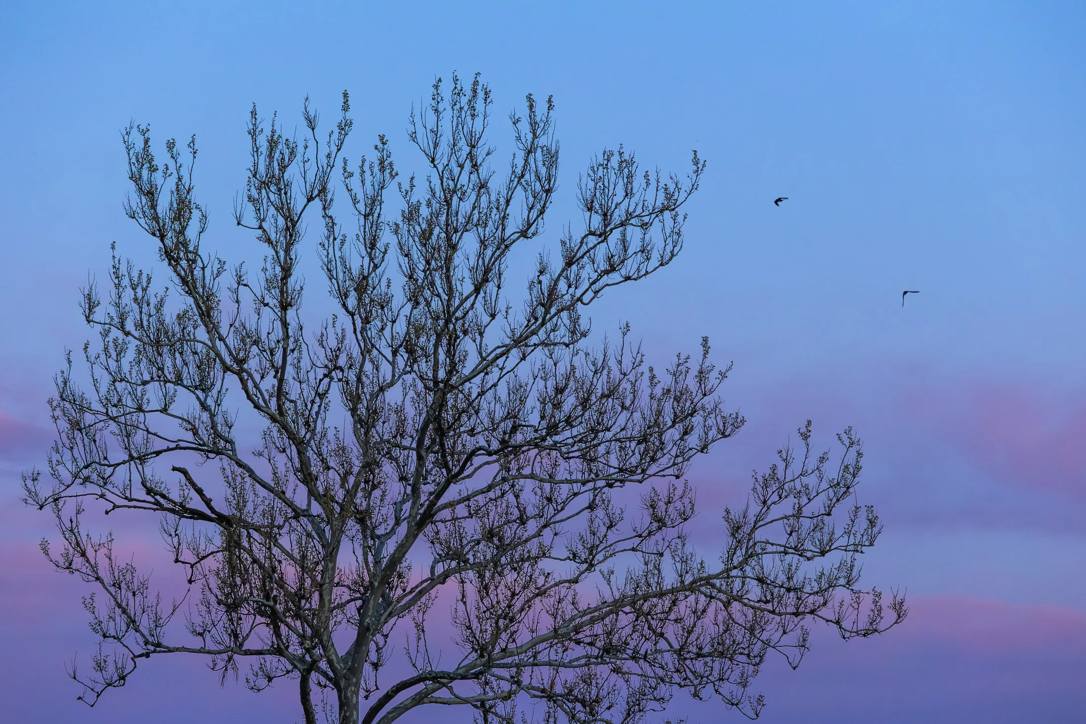
The area around Starved Rock State Park near Utica, Illinois, is one of the most scenic Illinois has to offer. The Illinois River cuts through the area and was one of the few areas in Illinois not flattened by glacial drift.
This beautiful tree on the bank of the Illinois river is a Sycamore, known as the London Plane. Often planted in the Victorian area to help quell the London pollution caused by the Industrial Revolution, this tree has been a stable of urban development. It can incur a disease known as the Witches Broom, causing the shoots to bunch up which also offers a natural nest for nearby birds.
Camping on the edge of the Illinois after a trip to Starved Rock, I set up my tripod to capture the active birds at sunset, but then this Sycamore caught my eye. The composition of the eerie branches against the beautiful purple glow of the setting sun was mad even better by the birds passing through the area.
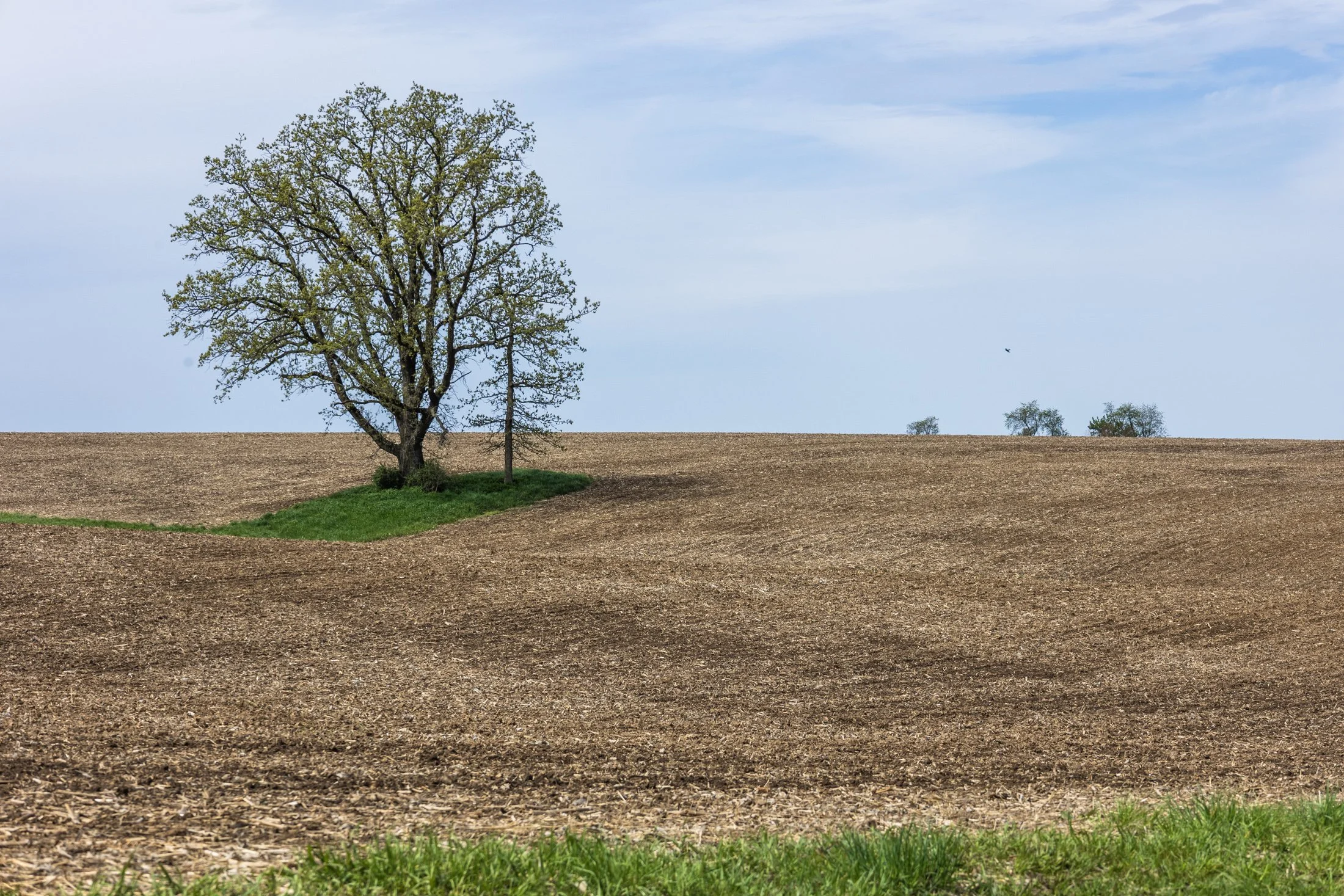
The cornfields near Polo, IL follow twists and turns as the land enters the Driftless Area. It is here where the sinuous and hilly terrain begin to take over. This area, and Illinois in general, is a very prominent agricultural hub for a variety of crops.
Previously a historic route to Galena, this picturesque area was rift with natural prairie prior to its transformation for agricultural purposes, but the beauty still remains.
This area is one I have visited often and will eventually be a part of a series when I capture the right fall photo. The composition of this lone tree set against the distant row of trees in the background shows what is possibly an old boundary tree isolated in a crop field.
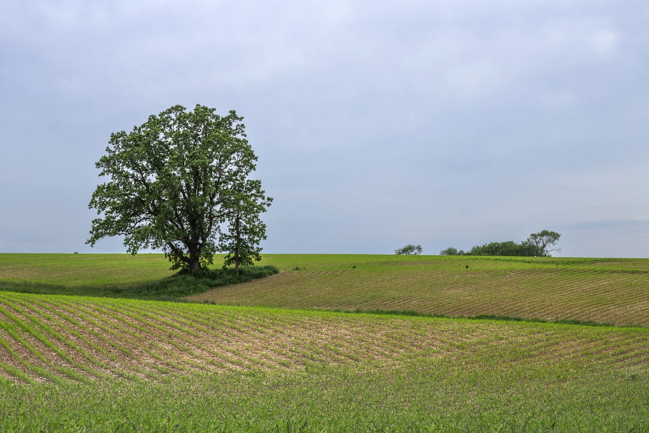
The cornfields near Polo, IL follow twists and turns as the land enters the Driftless Area. It is here where the sinuous and hilly terrain begin to take over. This area, and Illinois in general, is a very prominent agricultural hub for a variety of crops.
Previously a historic route to Galena, this picturesque area was rift with natural prairie prior to its transformation for agricultural purposes, but the beauty still remains.
This area is one I have visited often and will eventually be a part of a series when I capture the right fall photo. The composition of this lone tree set against the distant row of trees in the background shows what is possibly an old boundary tree isolated in a crop field.
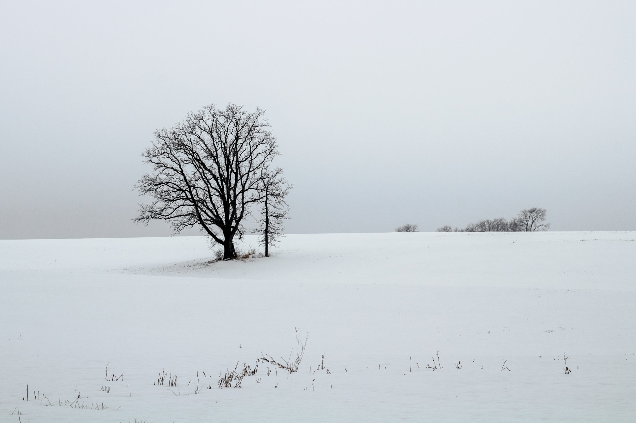
The cornfields near Polo, IL follow twists and turns as the land enters the Driftless Area. It is here where the sinuous and hilly terrain begin to take over. This area, and Illinois in general, is a very prominent agricultural hub for a variety of crops.
This particular area is one I have revisited often, and is part of an ongoing seasonal series yet to be published. This specific scene reminded me of something out of the film Fargo, with the delicate blanket of snow covering the fertile soil beneath.
The composition of this lone tree set against the distant row of trees in the background provided the proper depth for the open spaces these farmlands offer. Previously a historic route to Galena, this picturesque area was rift with natural prairie prior to its transformation for agricultural purposes, but the beauty still remains.
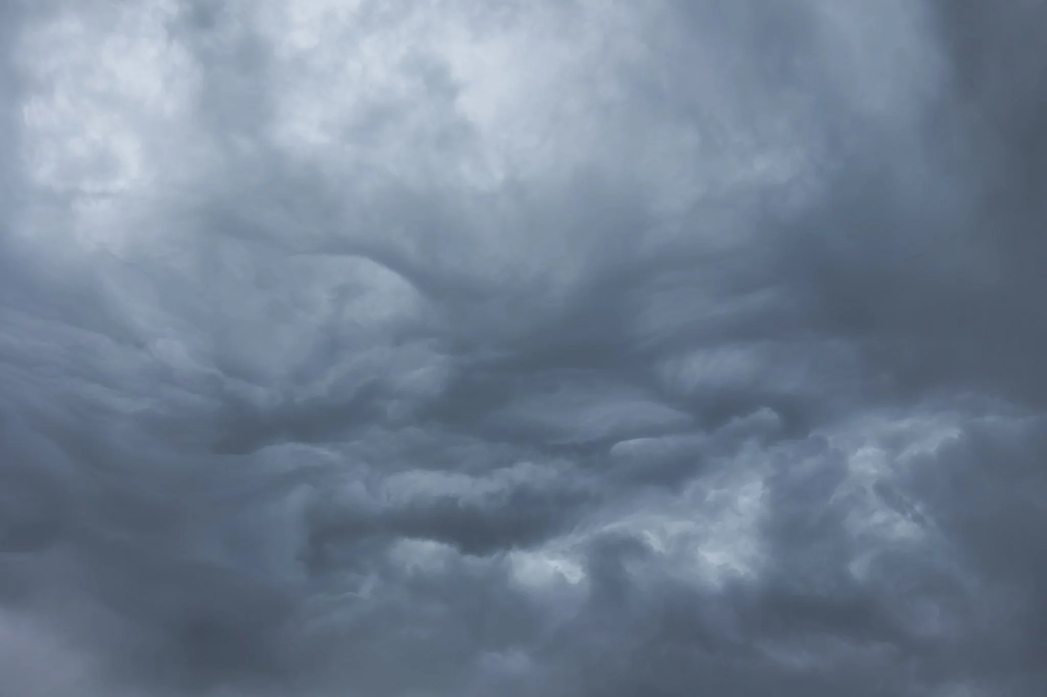
Chicago, and the Midwest in general, are known for having overcast skies half of the year and this day, taking off from Chicago at the tail end of a storm, was no different.
I now always make sure to grab a window seat when flying as I have encountered so many fascinating views flying through the clouds. There is a perspective that is missed on the ground when you are that high up and this beautiful abstraction of grey clouds swirling in strange formations was no exception.
I’m drawn to abstract photography for the reason most are. A lack of form allows the mind to explore itself. One can find meaning from an interior space rather than an exterior one, and it is something I often explore on my travels.

Springbrook Prairie Natural Preserve, located in Naperville, Illinois, is one of the few remaining natural prairies in Illinois, spanning 1,800 acres.
Known as the Prairie State, Illinois’ prairie is now .1% of what it once was, owing this to farming, industrialization, and the scrawling metropolis of Chicago. This Preserve is one of the largest in the Chicagoland area and visiting it is a step back in time.
Planning to photograph the prairie at sunset, this cloud formation became the most interesting thing in the area. The wispy cirrus clouds caught the descending light at just the right angle crystalizing this the fleeting moment.

“The sky is the ultimate art gallery just above us.”
-Ralph Waldo Emerson-
On my drives across the corn belt, I’ve always been enamored with the lone trees among the endless fields.
Some say they are for markers for property boundaries, others that they were once a primary source of shade for farmers from a bygone era. Whatever the case, their air of mystery sits majestic among the expansive cornfields of the Midwest.

In the Midwest, nuclear power plants are a vital part of the energy infrastructure, and many of them are surrounded by sprawling cornfields. This unusual pairing is more practical than it might seem. Nuclear plants require large safety buffer zones, which makes rural farmland an ideal setting.
At the same time, the actual footprint of a nuclear facility is relatively small, allowing the surrounding land to continue being used for agriculture. Illinois, in particular, stands out as the top nuclear-generating state in the country, with 11 reactors at six sites, most of them nestled in farming regions.
Having just finished photographing these monoliths from the other side, I was stunned by the scene developing in my rear view mirror as I sped down the country road. With someone tailgating me, I signaled at the next service road, parked in front of a farm, and quickly set up my tripod to grab this shot.

Starved Rock State Park in LaSalle County, Illinois transforms into a stunning winter landscape, with its waterfalls freezing into towering columns of ice. These frozen waterfalls are a major seasonal attraction, drawing hikers, photographers, and ice climbers to the park’s deep sandstone canyons.
Formed by melting snow and natural springs, the waterfalls normally flow through narrow cliff faces, but in winter, they become massive ice formations, sometimes reaching over 80 feet tall. The contrast between the icy formations and the ancient, rust-colored rock walls creates a dramatic and otherworldly scene.
This photo required some careful maneuvering to get to the right position as well as making sure my tripod stayed stable on the ice. This dead leaf stood out among a sea of white and grey and allowed me to capture a long exposure yet the leaf remained still. Taken earlier in my career, I had not come to appreciate the magic of crampons when navigating slick ice.

The land near Savannah, IL marks a change to the typical flatness of Illinois. Known as the Driftless Area, the land becomes more sinuous and roads begin to twist and turn.
During the winter, when these lands turn to a frozen tundra, it reminds one of moods made famous in the film “Fargo” (1996). These lone trees have been thought to have marked boundary lines between properties before modern surveying techniques or to have offered shade during the work day.
There is something about these isolated trees in rural Illinois that continually draws my eye. I always wonder if they wonder where their neighbors went. They remain a beautiful contrast to the endless rows of cornfield, changing seasonal with the crop.

The cornfields near Savannah, IL follow twists and turns as the land enters the Driftless Area. It is here it becomes more sinuous and hilly with various streams run through the land.
It holds the name due to the fact that during the last Ice Age, it was left untouched by the glaciers during. As a result, the Driftless Area features rugged, unglaciated terrain with deep valleys, ridges, and bluffs. The absence of glaciers left the streams to carve out their path over thousands of years.
This particular stream sat tucked off a dirt road in the hills surrounding Savannah, IL, unassuming, beautiful.

Starved Rock State Park in LaSalle County, Illinois transforms into a stunning winter landscape, and its waterfalls freeze into towering columns of ice. These frozen waterfalls are a major seasonal attraction, drawing hikers, photographers, and ice climbers to the park’s deep sandstone canyons.
Formed by melting snow and natural springs, the waterfalls normally flow through narrow cliff faces, but in winter, they become massive ice formations, sometimes reaching over 80 feet tall. The contrast between the icy formations and the ancient, rust-colored rock walls creates a dramatic and otherworldly scene.
This photo required some careful maneuvering to get to the right position as well as making sure my tripod stayed stable on the ice. Taken earlier in my career, I had not come to appreciate the magic of crampons when navigating slick ice.

Art on the MART is a large-scale public art installation in Chicago that transforms the façade of the Merchandise Mart building into a digital canvas. Launched in 2018, it features nightly projections of contemporary art across 2.5 acres of the building’s river-facing side, making it the largest digital art projection in the world.
The installation showcases work from local, national, and international artists, often in collaboration with cultural institutions like the Art Institute of Chicago and the Chicago Symphony Orchestra. The projections are free and open to the public, and they typically run from spring through fall.
This offered me a secluded area to shoot, away from the hustle and bustle of the main viewing platform along the river, and provided the perfect vantage point to show off all that makes Chicago great, especially its world class architecture.
The Canal Street railroad bridge located north of Chinatown in Chicago, Illinois, it one of the most famous bridges in Chicago. Built for the Pennsylvania Railroad, it was finished in 1914 and designated as a national landmark in 2007.
The bridge replaced a swing bridge that was in the same location so to prevent obstructing traffic, the bridge was built in the raised position while the old bridge still operated. Upon completion, the old bridge was demolished and the railroad bridge still operates to this day.
On a trip to Chinatown with some fellow photographers at sunset, this view caught my eye as we headed north. The bridge provided a compositional pointer finger to one of Chicago’s most iconic landmark, the Willis Tower (although it will forever be known to Chicagoans as the Sears).