
National Parks

National Parks
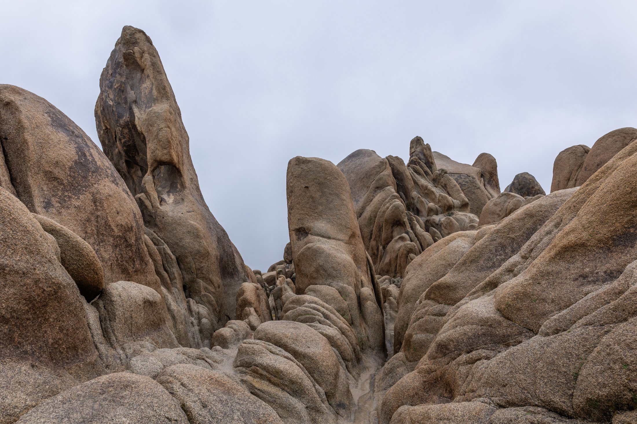
Joshua Tree National Park, located in southeastern California, about 150 miles east of Los Angeles, is famous for its dramatic granite rock formations. Over tens to hundreds of millions of years uplift and weathering left the overlying rock exposed.
This physical weathering peeled the outer layers from the rock while desert flash floods carried away loosened material, leaving stacked, rounded boulders, domes, and monoliths.
This was my third trip to Joshua Tree and each time has been a different adventure. The grippy granite rock makes it a very fun park to rock scramble in but this particular day rain and fog dominated the landscape, a unique occurrence that required the correct gear to capture this image. This unique formation is located right next to Arch Rock and the maze-like quality showed off the singular uniqueness of this National Park.
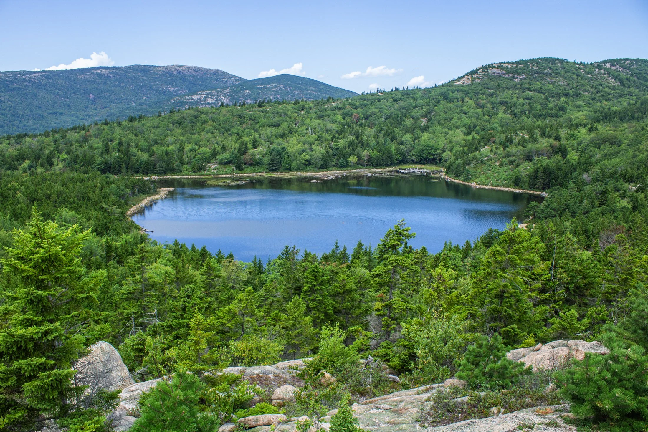
Acadia National Park, located southwest of Bar Harbor, is as picturesque as a national park can be. The varied terrain presents itself as one thing and then transforms into another. Known for its rugged coast and rocky cliffs, the national park offers a variety of hiking trails, loops, and climbs giving you a different perspective every direction you look.
This pond, known as The Bowl, was formed by glacial activity like many of the features in Acadia. This left a rounded, shallow basin surrounded by hills and rocky outcrops such as the one this photo was taken from.
Following a hike from our campsite a few miles away, we were able to avoid parking debacle Acadia is often known for. Climbing the precarious Beehive Trail, we were affording stunning views of the Atlantic Ocean on one side, and this picturesque lake on the other.
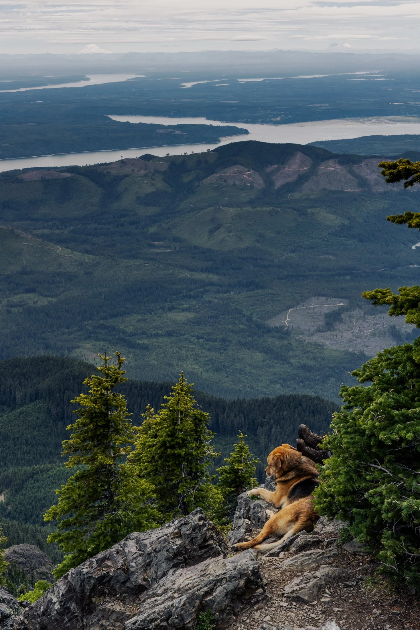
Mount Ellinor is part of the southeastern Olympic Mountains in western Washington state. The mountain is a beautiful one and shows clear signs of past glaciers.
During the ice ages, glaciers carved out the valleys and sharpened the ridges around the area. The views of Lake Cushman become even more amazing when you realize the whole area was shaped by ice and water
This particular photo was taken right after reaching the summit. On the way down I came across curious scene when turning a corner. The boots sticking out next to the owners dog felt like something out of a Dr. Seuss book. This quick snap reminded me dogs hike too.
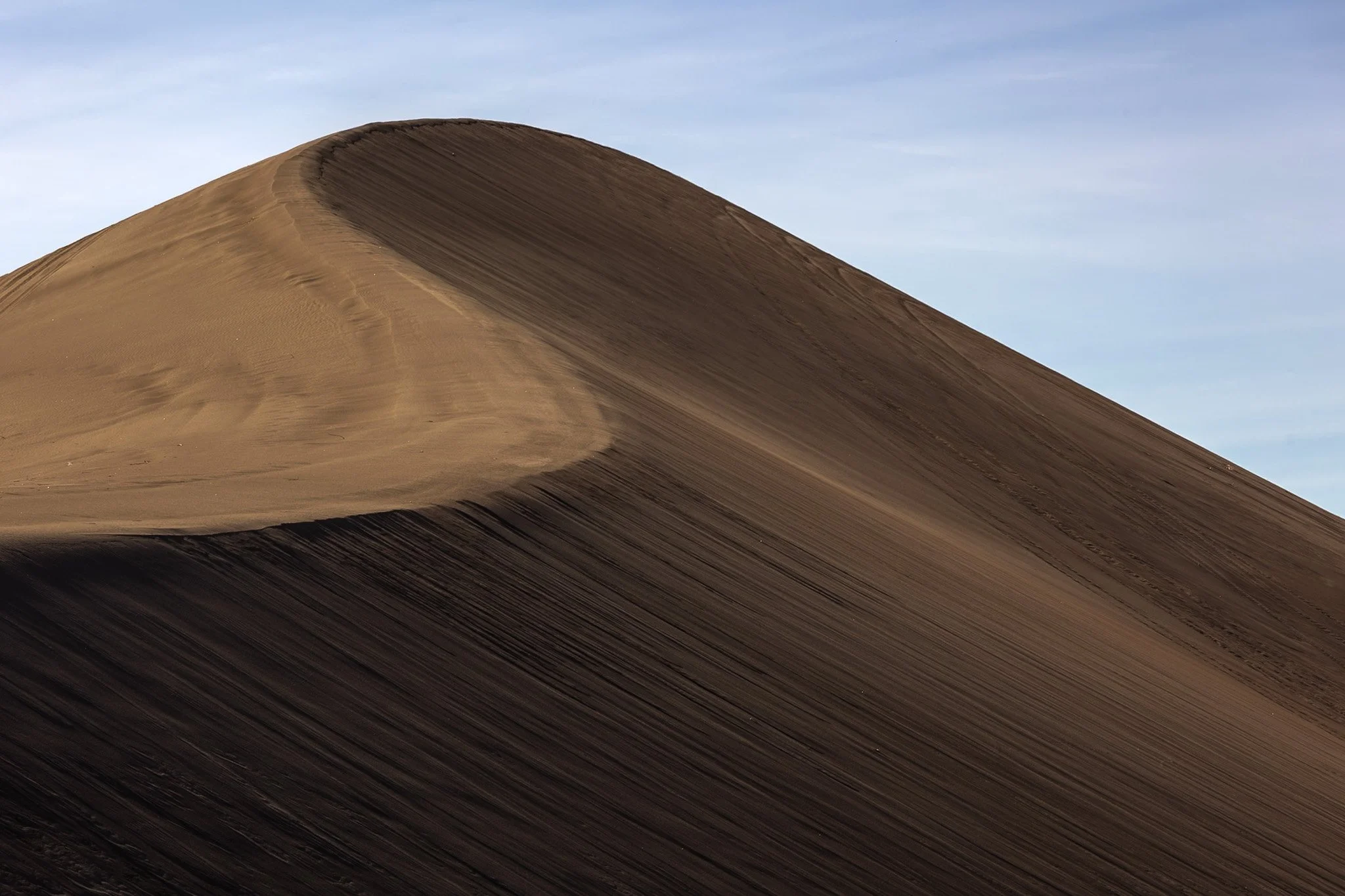
The dunes in and around Death Valley are primarily shaped by wind, which picks up and transports sand particles across the valley floor. Sediment from surrounding mountains supplies the sand forming these natural features.
The wind's constant movement reshape the dunes, causing them to shift across the valley, often forming barchan dunes which hold crescent shapes, such as the one seen here.
I found this specific dune formation completely deserted (excuse the pun) in the early morning. Walking to the base of it, it was tough not to be struck by the gigantic sense of time, space, and form the area offers up. This telephoto capture isolated its gentle untouched waves towering on the horizon from miles away.
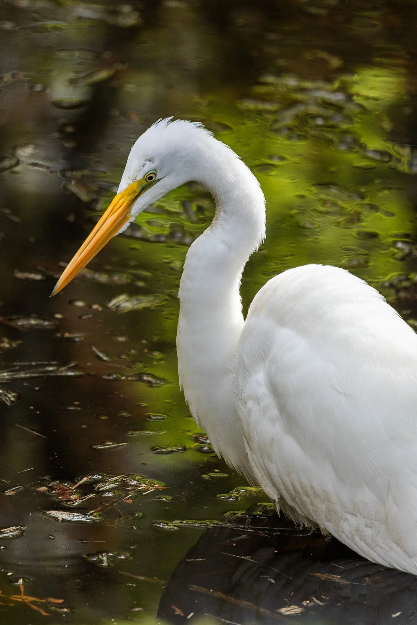
The Great Egret, often referred to as the white heron, is a majestic bird known for its all-white plumage and long, graceful neck. It is an excellent hunter, often seen standing motionless in shallow waters or slowly wading through wetlands in search of fish, amphibians, and small reptiles.
During the breeding season, egrets develop long, delicate plumes on their backs, which were once highly prized in the fashion industry, leading to significant hunting pressure in the late 19th century.
This specific individual waded slowly through in the lowlands of the Everglades as I waited to frame its graceful profile against the swampy abstraction behind it. These birds find a secluded paradise in the Everglades, an area that has been under a constant state of threat since its inception.
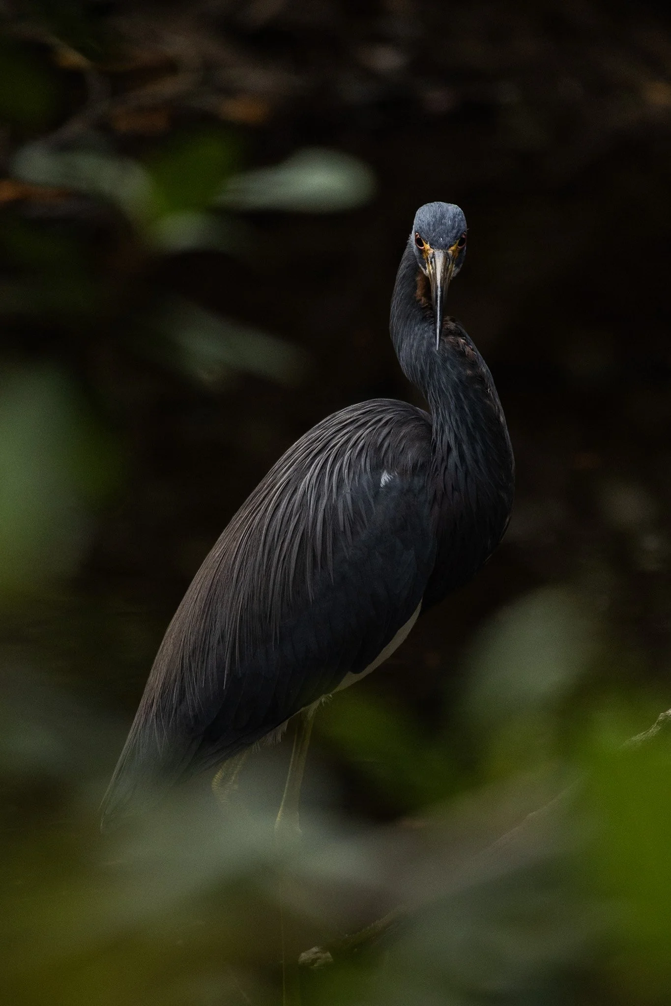
The Tricolored Heron is known for its vibrant plumage, with dark shades of blue, purple. It is an expert hunter, often employing a unique technique where it attracts prey by creating a contrast with its bright chest feathers in the water.
They are social creatures, often found hunting in groups and nesting in colonies with other wading birds. During breeding season, their plumage becomes even more colorful with long, elegant plumes on their heads and necks.
This specific heron was found on a lone dirt road surrounded by trees and swamp on each side. The birds here seem to enjoy a secluded paradise meandering among the Everglades swampy foliage. This guy noticed my lens and gave me a beautiful glare during a moment of soft light creeping through the shadowy of the swamp.
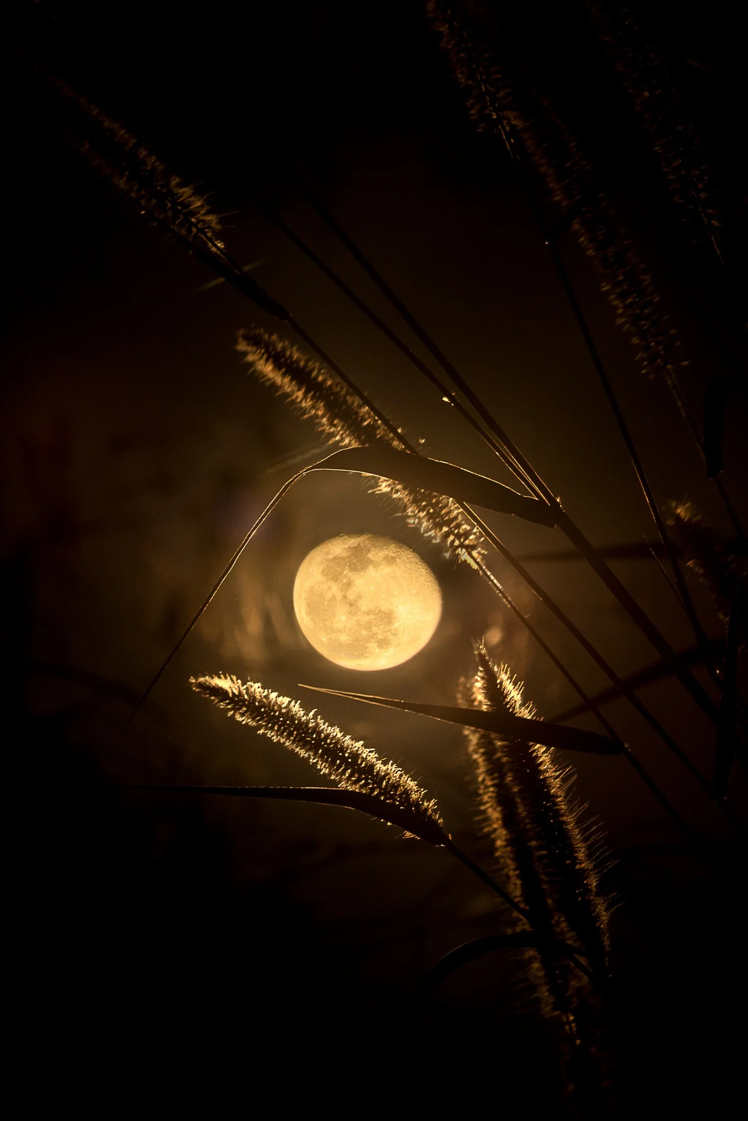
Everglades National Park is a park that reveals itself slowly, it requires those with patience and keen observation to see its true beauty.
Known colloquially at the “River of Grass”, the Everglades is one of the largest wetland ecosystems in the world. One of the only places in the world in which both alligators and crocodiles coexist, it also contains one of the largest mangrove forests systems in the world. But it’s true beauty is the sanctuary it provides for all manner of birds make it their home or migratory stopping point.
This photo was taken sitting around a fire at my campsite following a long day of kayaking through a mangrove forest strewn with alligators. Requiring the stitching of two photos, this is one of the few images I offer that was not captured in camera due to the nature of how depth of field works in a camera versus our eye, but the light and view was too good to not attempt to emulate what I saw.
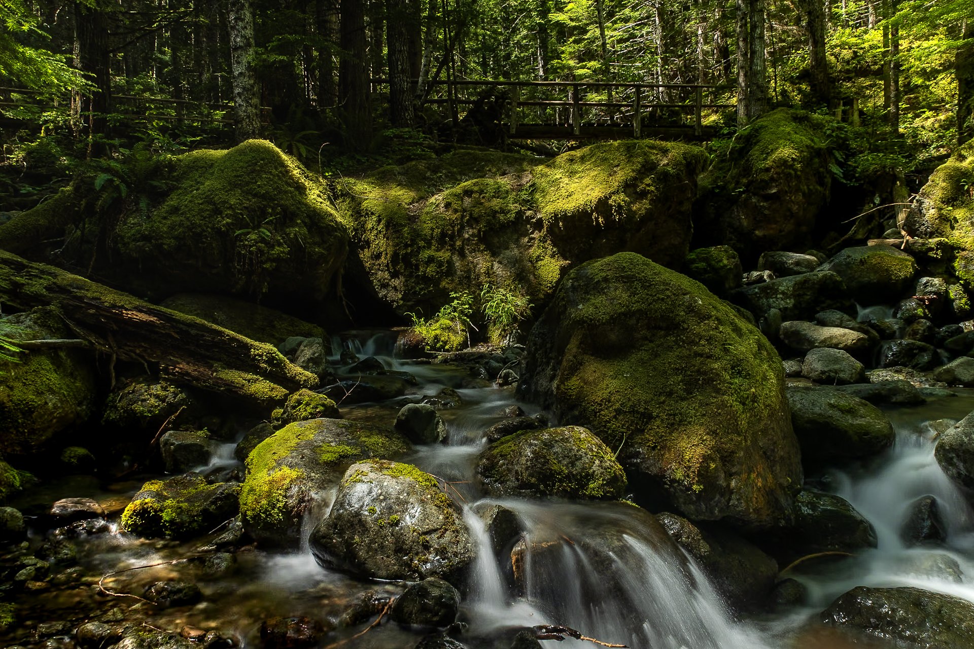
The Staircase area of Olympic National Park is a lesser known area of the park, tucked away along the southeastern edge of the park, near Lake Cushman. It’s known for old-growth forest, moss-draped trees, and multiple rivers flowing through.
This was my third time to Olympic National park and each trip continues to reveal more of its beauty. I stayed in a tiny home near Lake Cushman, which offered early morning access to the trails in the surrounding area.
This particular photo was taken on the Staircase Rapids Loop which follows the Skokomish River through the dense rainforest. Capturing both the cascade and one of the countless bridges crossing the river puts on display the sheer amount of greenery to be found in the only rainforest in the lower 48.
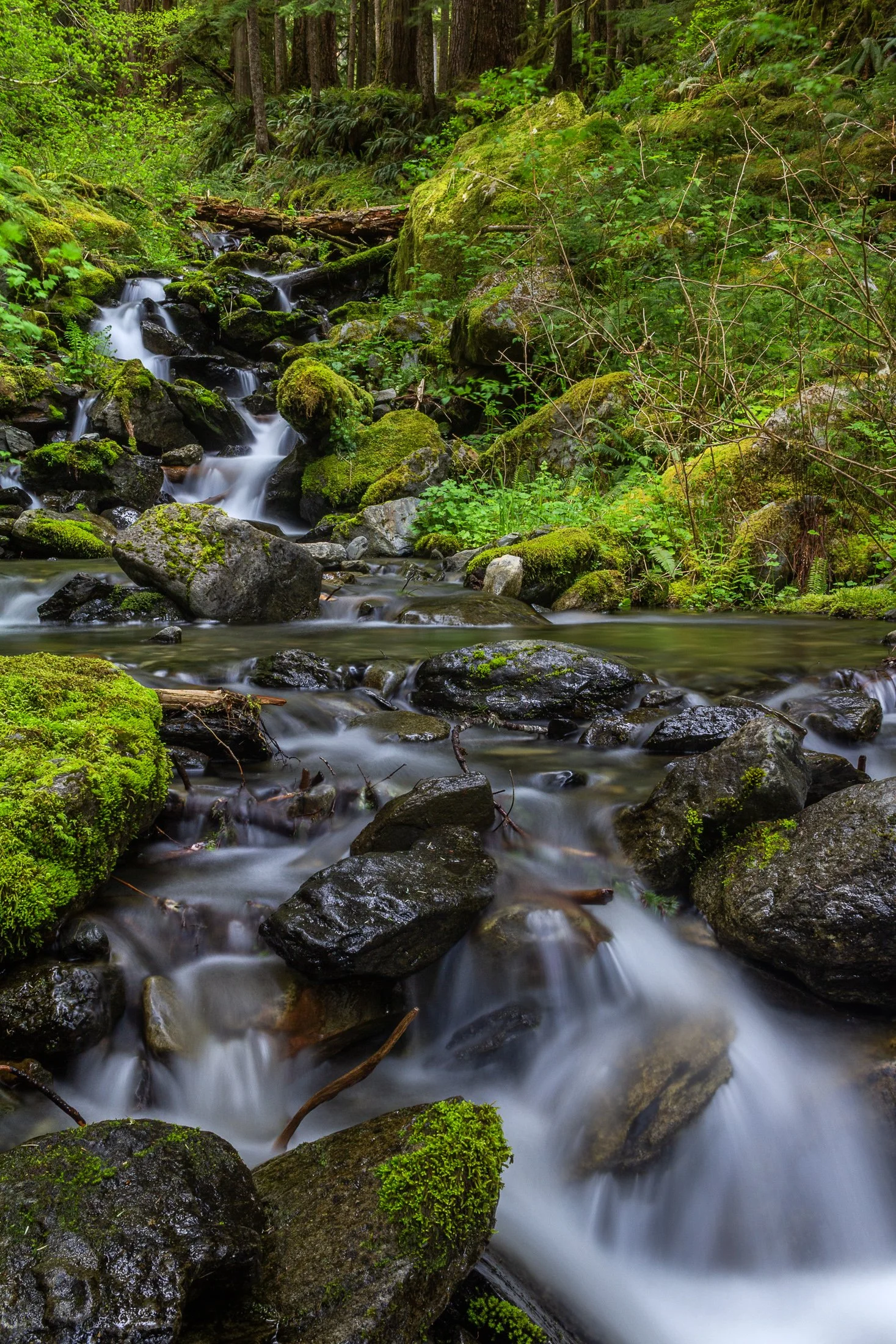
Enchanted Valley, dubbed the “Valley of 10,000 Waterfalls” requires a 15 mile hike through the Quinault Rainforest in Olympic National Park. It is one of the few rainforest in the United States, and receives 140-167 inches of rain per year. The precipitation leaves Olympic National Park with one of the most biodiverse ecosystems in the United States.
The Enchanted Valley Chalet at the end of the trail was built in 1931 and was originally meant to be a rustic lodge for hikers. Eventually it transformed into a monitoring station during WW2 to scout for potential Pacific Coast enemy threats. After the war it returned to its original purpose for backpackers and rangers.
The trail crosses many streams on the way to the chalet allowing us to forgo storing water for the hike while backpacking and instead drink the glacial melt from the streams via a LifeStraw. I have not tasted water better than that before or since.

The South Coast Wilderness Trail is a stunning, rugged, and truly wild 17 mile one-way hike through Olympic National Park. One of the last undeveloped coastlines in the contiguous United States, Olympic’s protection status ensures native species like sea otters, bald eagles, bears, and migrating whales will continue to thrive in this pristine wilderness.
Switching between stretches of picturesque coast and dense rainforest, the trek (which is at sea level) entails 2,000 feet in elevation change, due to the use of ladders and ropes to maneuver up and down coastal embankments.
After setting up camp, I descended a very steep sand embankment via a rope wrapped around a tree to reach this secluded beach. It was a peaceful moment photographing these majestic sea stacks at sunset alone on this pristine beach.
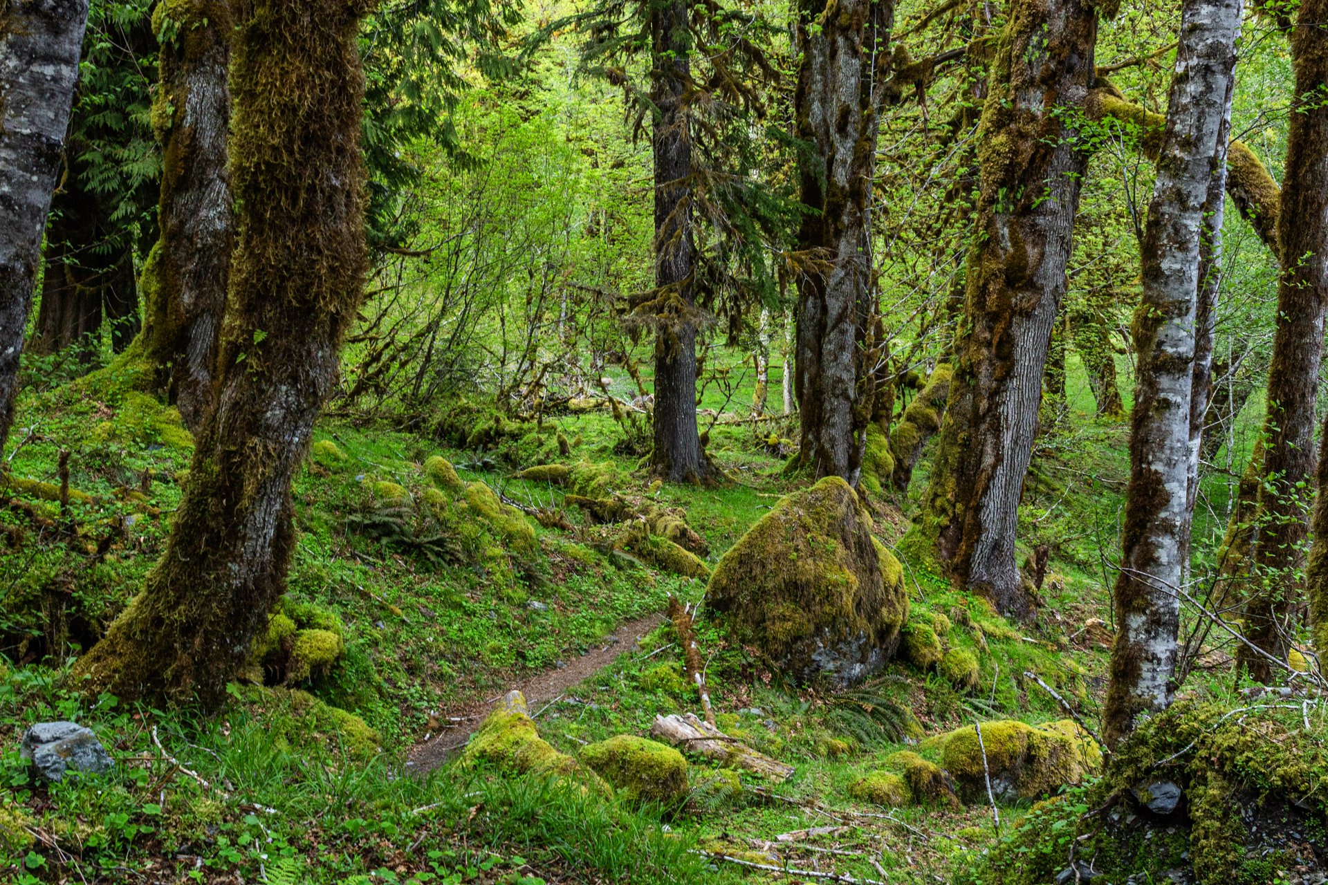
Enchanted Valley, dubbed the “Valley of 10,000 Waterfalls”, requires a 15 mile hike through the Quinault Rainforest in Olympic National Park. The rainforest receives a whopping 140-167 inches of rain per year. This precipitation allows Olympic National Park to maintain its incredibly biodiverse ecosystem.
The Enchanted Valley Chalet is at the terminus of the trail and was built in 1931. Originally meant to be a rustic lodge for hikers, it was used during WW2 to monitor potential Pacific Coast enemy threats. After the war it returned to its original purpose for backpackers and rangers.
The trail meanders along the river crossing many small streams on the way to the Chalet. Elk, bear, and marmots frequent the forest, rife with moss-laden trees, decaying logs with small trees growing out of them, and every type of green you can imagine. It truly is a fairy tale rainforest.

Enchanted Valley, dubbed the “Valley of 10,000 Waterfalls” requires a 15 mile hike through the Quinault Rainforest in Olympic National Park. One of the few rainforest in the United States, it receives 140-167 inches of rain per year. The precipitation leaves Olympic National Park with one of the most biodiverse ecosystems in the United States.
The Enchanted Valley Chalet at the end of the trail was built in 1931 and was originally meant to be a rustic lodge for hikers, eventually being used during WW2 to monitor potential Pacific Coast enemy threats. After the war it returned to its original purpose for backpackers and rangers.
The area is known for a surplus of black bears, and during our time there over two nights, we were mere visitors in their home. It is not the easiest thing to retire to your tent with a 400 pound black bear scrounging for berries outside it!

Yellowstone is home to the largest free-ranging bison population in the U.S., offering a rare glimpse into their natural behavior in the wild.
They live in majestic matriarchal family herds where the experienced older cows provide protection, social structure, and learning opportunities for younger bison while the bulls often live alone or in bachelor groups, joining the family herds during the summer mating season.
Wild bison in the US once ran into the millions but were almost hunted to extinction in the 1800s. Yellowstone now serves as a sanctuary for these creatures, but their protection must constantly be guarded, for while humans have the ability to eradicate nature, they also have the ability to preserve it.
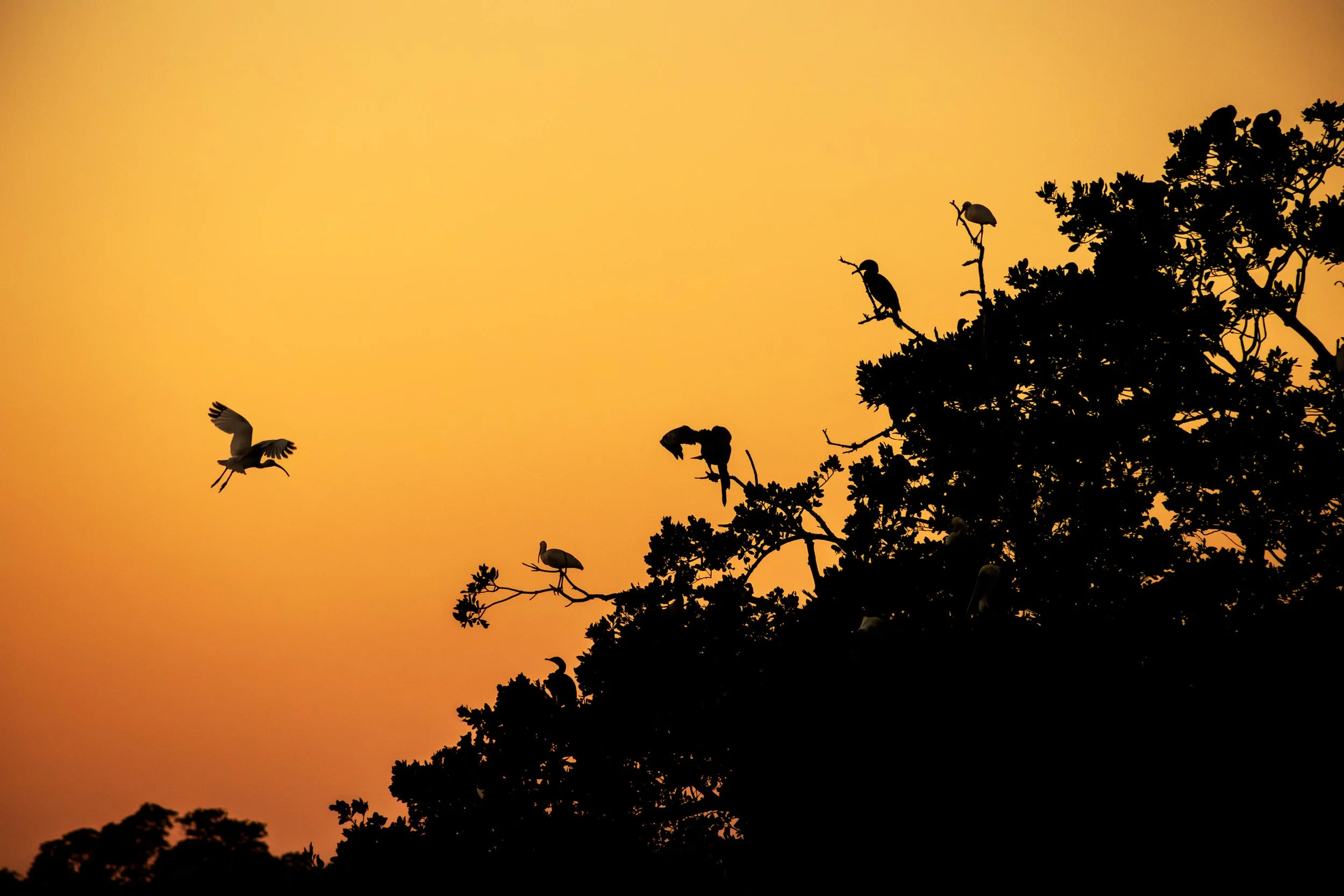
Everglades National Park is a park that doesn’t present itself as grandly as the others, it requires those with patience to see its true beauty.
Known colloquially at the “River of Grass”, the Everglades is one of the only ecosystems to house both alligators and crocodiles. It also contains one of the largest mangrove forests in the world and, due to the diverse ecosystem, all manner of birds make it their home.
I happened to be the lone passenger on as sunset Everglades boat tour and the captain was kind enough to veer off the usual course and tailor it to my photography. At the end of the tour, when he brought me to one of the mangrove rookeries these birds call home, an egret flew into frame and began its landing as I snapped the photo. It was a sunset I’ll never forget.

Congaree National Park in South Carolina is the largest intact expanse of old growth bottomland hardwood forest remaining in the southeastern United States.
The Congaree River floodplain had a rich history with bootlegging during the prohibition era, where authorities would be hard pressed to find the spirits stored in the recesses of the swamp land that locals knew well.
I spent one night at Congaree, and it has stuck in my mind since. Tho capture this photo I needed to creep further onto the flooded boardwalk to get the right angle resulting in water flooded my boots. It took great effort to dry them out for my backpacking trip the following morning.

A sunset over the Tetons is one of the most stunning views nature has to offer. One reason the Teton Range is famous is due to the dramatic prominence visible from the eastern side, which rises sharply from 4,000 to 7,000 feet above the valley floor.
Aerial debris will often obscure the Tetons during sunset leading to a fascinating ghostly form on the landscape, but when the air is clear the sunsets are incredible, accentuating the fascinating form of one of America’s greatest mountain range.
The mosquitos were in full force as I rushed to set up my tripod shortly after arriving at Grand Teton. I rented a rustic cabin (offered at the Grand Teton campsite), consisting of two unfinished cots and a fire pit. I drove down to the lake and set up this shot while providing a perfect meal for the skeeters.

The Grand Teton mountain range is one of the most breathtaking views in the contiguous United States. The main faulting that formed the range occurred around 10 million years ago during the Miocene epoch.
Since then, the range has continued to rise while the Jackson Hole basin has subsided, deepening the valley. This valley has become an idyllic vacation spot for many tourists during the summer months.
The road leading from the east to Grand Teton National Park is a one of the most spectacular ways to be introduced to the Tetons, and this one point perspective on US Route 26 provided the perfect example.

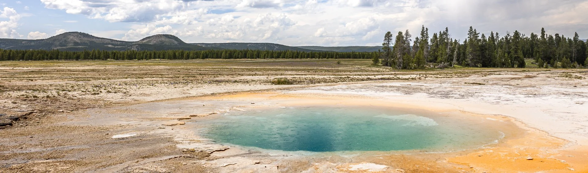
Grand Prismatic in Yellowstone National Park is one of the most popular tourist attractions in the park.
Part of the Midway Geyser Basic, this area is fueled by the Yellowstone Caldera, one of the largest volcanic systems in the world.
This turquoise pool is an offshoot of the bigger Grand Prismatic, showcasing the wide open spaces Yellowstone is known for.

Crater Lake, located in Southern Oregon, feels too big for a single frame. I struggled to fathom its size while I stared at it. And the blue reflected by that lake one of the most saturated blues I’ve ever seen in nature.
This deep blue comes a myriad of factors but, two big ones are the fact that the lake’s source is almost entirely snowfall and rainfall leading to very little sediment. The other factor is how deep the lake is. Crater Lake is a whopping 1,943 feet, leading to more pronounced absorption of wavelengths other than blue.
I felt it deserved its own frame.

Congaree National Park in South Carolina is the largest intact expanse of old growth bottomland hardwood forest remaining in the southeastern United States. The Congaree River floodplain had a rich history including being a prominent area for bootleggers to hide their wares during the prohibition era. Authorities would be hard pressed to find the spirits stored in the recesses of the swamp land where the locals knew like the back of their hand.
Congaree is a mysterious land and one I would like to come back and kayak through as the boardwalks were completely flooded when I arrived. While this prevented me from exploring much of it, it was a prime example of the beauty of the area, one which cannot be tamed.
The best angle to capture this flooded boardwalk required the sacrifice of the dryness of my boots. I needed to dry them out before the next morning’s backpacking trip so I blasted the heat in my car with my shoes next to the vent while I sat in 90 degree bumper to bumper traffic. All worth it.
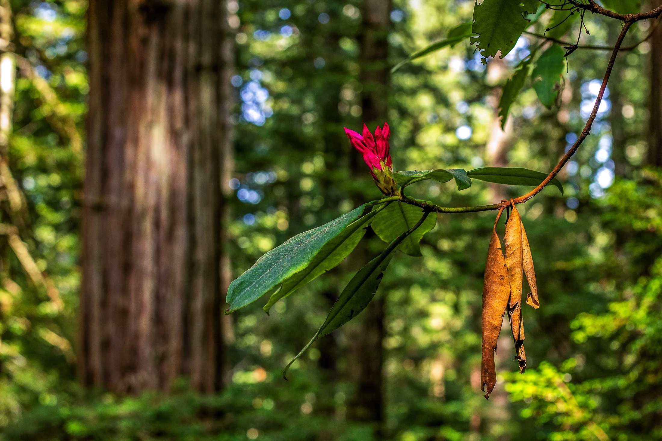
Humboldt County of Northern California is home to the southern section of the towering Redwood Forests which are conjoined effort of the National & State Park systems.
Contained within this section is the 31-mile world famous Avenue of the Giants. A mostly flat drive with gentle curves, passing secluded forest hamlets, campgrounds, picnic areas, and areas along the Eel River.
Offering extensive hiking trails, this was taken on a 5 mile loop, and finding this budding flower next to a dying leaf providing the perfect foreground to this vast redwood background.

Early morning in Yellowstone National Park, located in northwest Wyoming, often comes with thick fog.
This fog is caused by the area’s geothermal activity where the warm moisture arising from the hot springs, geysers, and fumaroles meets the cool air of the early morning.
While heading to Artist’s Point early in the morning, I noticed the weird quality of light occurring and stopped off at a turnout to capture this eerie orange coloring.

It’s very difficult to explain the expanse and epic nature of Glacier National Park to those who have not been, and even more difficult to encapsulate it in a single photograph.
Glacier’s famous Going-To-The-Sun-Road is a marvel of American ingenuity and engineering and driving it is proof. Construction began in 1921 and finished in 1932, bringing with it tourism to the area.
While driving this majestic road, I found it difficult to decide where to stop. I was particularly enamored by the West Tunnel, and upon exiting the tunnel, I found this view looking out towards Mt. Oberlin. The scale was absolutely stunning and required multiple photos to stitch the entire view.

Artist’s Point is one of the most spectacular places to view the Grand Canyon of the Yellowstone. Located on the south rim, it offers one of the most iconic views in the entire park — a dramatic panorama of the Lower Yellowstone Falls framed by the colorful, rugged canyon walls.
It was originally thought, though it may be another nearby location, to be the location where artist Thomas Moran sketched his famous images during the 1871 Hayden Expedition, which helped lead to Yellowstone’s designation as the first National Park.
This photograph required an early wakeup call while the roads were still covered in a thick grey fog. When we arrived it was finally beginning to burn off, and the yellows of the morning sun coated this beautiful jagged canyon in light.

Mammoth Cave National Park, located in south central Kentucky, is the largest cave system in the world. The tunnels of Mammoth cave are what give it its name, with some chambers the size of large subway systems.
The cave has been a source of tourism in the United States all the way back to the 1800s with enslaved men being some of the first tour guides and explorers of the cave, and the history of Mammoth Cave is entwined with African American history.
I took this photo after an amazing tour of the cave and caught the guard on his way out. I’ve always found the entrance unassuming without a hint as to what lies in wait but 300 feet further.

Everglades National Park is a park that doesn’t present itself as grandly as the others, it requires those with patience to see its true beauty.
Known colloquially at the “River of Grass”, The Everglades is one of the largest wetland ecosystems in the world. Alligators and crocodiles coexist, it contains one of the largest mangrove forests in the world, and due to the diverse ecosystem all manner of birds make it their home.
I happened to be the only guest on the boat tour I had booked the day before, and the captain tailored my tour toward photography allowing me to explore some unique areas of the Ten Thousand Islands. We took a long ride out of the thick mangroves to find the sandbanks where the pelicans gather. Showing off their impressive wingspan (the largest of any bird in North America), these pelicans have found a bird paradise.
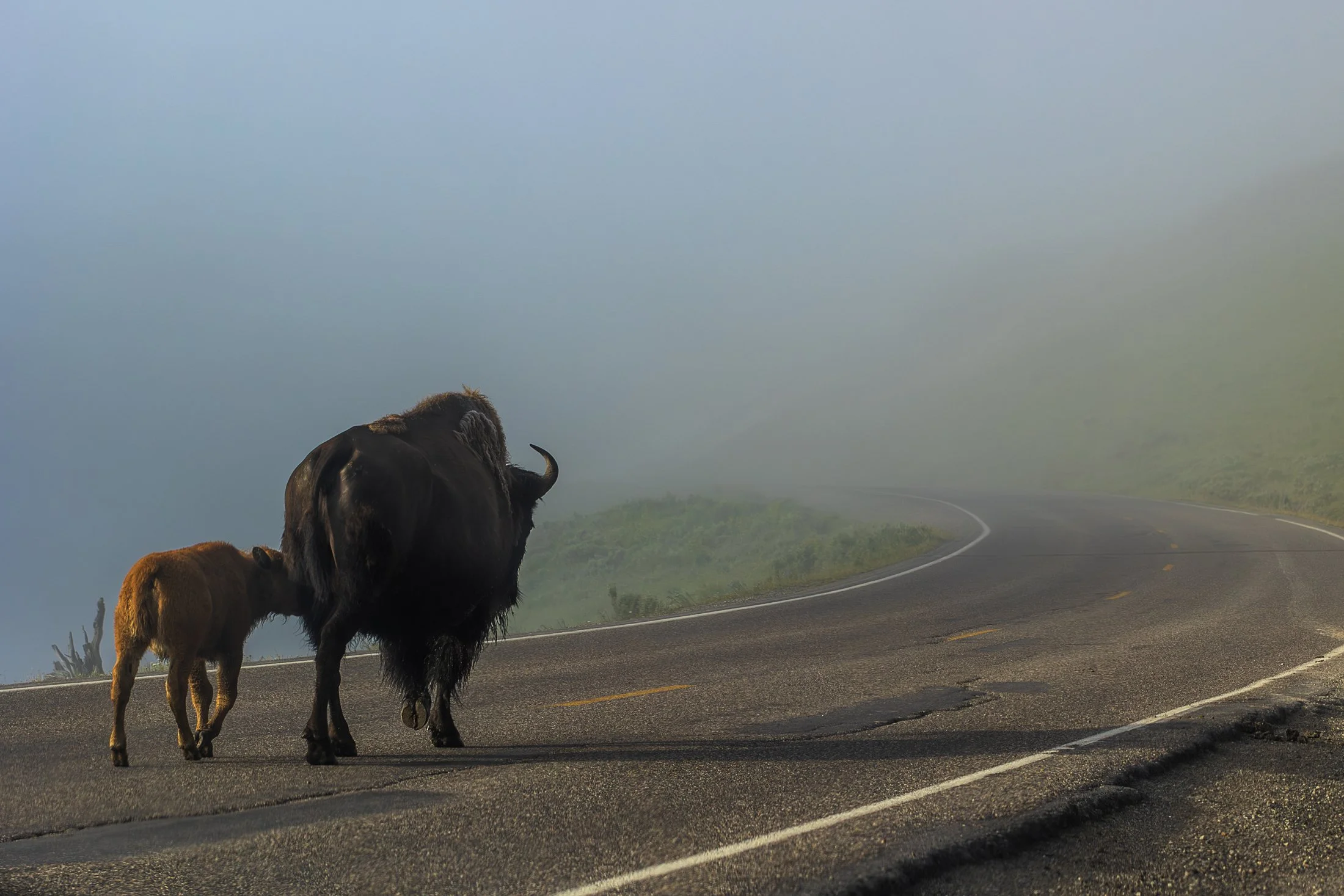
Yellowstone is home to the largest free-ranging bison population in the U.S., offering a rare glimpse into their natural behavior in the wild. Wild bison in the US once ran into the millions but were almost hunted to extinction in the 1800s. Yellowstone now serves as a sanctuary for these creatures.
They live in majestic matriarchal family herds where the experienced older cows provide protection, social structure, and learning opportunities for younger bison while the bulls often live alone or in bachelor groups, joining the family herds during the summer mating season.
When visiting Yellowstone, it becomes readily apparent we are visitors in their home. Traffic is frequently stopped to allow these bison to pass on the road. This shot came from one such instance as the bison herd migrated to the other side of the road.

Hidden Falls of Grand Teton National Park is one of the first things you may miss after jumping on Inspiration Point Trailhead after a ferry ride across Jenny Lake as the trail is not one that stands out.
This area is immensely popular in the summer as the Jenny Lake Trail intersects with it leading to Inspiration Point. This lookout point looks out over Jenny Lake and the surrounding distances that seem to continue on forever.
This waterfall was in full force due to the snowmelt from the winter and to get this particular vantage point involved a bit of scrambling. In the back corner you can see the Teton range extending further into the park.

The bison of Yellowstone National Park, in northwestern Wyoming, live in majestic matriarchal family herds. These herds are led by experienced older cows and provide protection, social structure, and learning opportunities for younger bison while the bulls often live alone or in bachelor groups, joining the family herds during the summer mating season.
Yellowstone is home to the largest free-ranging bison population in the U.S., offering a rare glimpse into their natural behavior in the wild. Wild bison in the US once ran into the millions but were almost hunted to extinction in the 1800s. Yellowstone now serves as a sanctuary for these creatures.
When visiting Yellowstone, it becomes readily apparent we are visitors in their home. Traffic is frequently stopped to allow these bison to pass on the road. This shot came from one such instance as the bison herd migrated to the other side of the road.
The South Coast Wilderness Trail is a stunning, rugged, and truly wild 17 mile one-way hike through Olympic National Park. One of the last undeveloped coastlines in the contiguous United States, Olympic’s protection status ensures native species like sea otters, bald eagles, bears, and migrating whales will continue to thrive in this pristine wilderness.
Switching between stretches of picturesque coast and dense rainforest, the trek (which is at sea level) entails 2,000 feet in elevation change, due to the use of ladders and ropes to maneuver up and down coastal embankments.
This was one such area on my backpacking trip where the trail climbed several hundred feet following a rope climb from the beach. The blue of this area of the Pacific is stunning, especially contrasted with the lush greenery of Olympic’s rainforest.