

Reds

Reds

Iconic, religious, Hollywood-graced, the West Mitten Butte watches over the land of Monument Valley, a stunning area residing along the Utah-Arizona border.
These buttes hold major religious significance for the Navajo. Legend holds they are the remains of great religious deities. Filmmaker John Ford found his home in Monument Valley, countless westerns there with John Wayne, with the Mittens featuring prominently in such films as “The Searchers” (1956) and have now become icons of the American West.
Monument Valley maintains one of the best campsites I’ve ever had the pleasure of camping at, and it is a perfect one for photographing the Mittens. The campsite sits atop a sand band looking straight out towards The Mittens, evoking a drive-in movie theater, replacing the screen with one of the best views in the West.

The Garfield Park Conservatory in Chicago, Illinois contains different flora from all around the world, and is located right off the Green Line on the El system making it easy access for many in Chicago through public transportation.
Known as Cuetlaxochitl in Aztec culture, the Pointsettia was originally a symbol of purity, eventually taking on the mantle as Mexico’s Christmas Flower. Mexican legend holds that a poor girl, named Pepita, had no gift to offer Christ during a Christmas Eve service and instead placed weeds at the nativity scene. These weeds then turned into a bouquet of Flores de Nochebuena or Poinsettias
I brought a small tripod and LED light to the conservatory to capture a range of different plants with more color and drama than ambient light typically allows, and the color in this Pointsettia wouldn’t be ignore.

Cumberland Island National Seashore is a pristine 18 mile stretch of undeveloped wilderness unique to the East Coast.
The island has a long history, and was once owned by the Carnegie Family who then dedicated the island to the National Park Service in 1972. The island has faced various threats to its wilderness status and has been defended through the efforts of Carol Ruckdeschel, one of the few persons allowed to live on the island.
While wandering back to my campsite coming from the deserted airstrip strewn with feral horses, I found this scarlet sunset right across from my campsite, the clouds accentuated by the pointing fingers of the tall Loblolly Pines prevalent on the island.

In the Midwest, nuclear power plants are a vital part of the energy infrastructure, and many of them are surrounded by sprawling cornfields. This unusual pairing is more practical than it might seem. Nuclear plants require large safety buffer zones, which makes rural farmland an ideal setting.
At the same time, the actual footprint of a nuclear facility is relatively small, allowing the surrounding land to continue being used for agriculture. Illinois, in particular, stands out as the top nuclear-generating state in the country, with 11 reactors at six sites, most of them nestled in farming regions.
Having just finished photographing these monoliths from the other side, I was stunned by the scene developing in my rear view mirror as I sped down the country road. With someone tailgating me, I signaled at the next service road, parked in front of a farm, and quickly set up my tripod to grab this shot.

Carl G. Washburne Memorial State Park may be the one of the most scenic stretches of the entire Oregon Coast. Located about 15 miles north of Florence, and only a few miles past Heceta Head Lighthouse (a trail connects the two parks), the surrounding area offers a portal to another world.
The China Creek Trail weaves through coastal forests terminating on the beach, and the picturesque Hobbit Trail, known for its moss-draped trees and old-growth forest, make the hiking here magical.
This photograph was taken moments after sundown, following a chaotic two hours of trying to photography too many areas at once. I used the last remaining daylight to grab this abstract before retiring to my campsite across the main road. The park is a quiet place, unassuming, and it is here that shows Oregon’s true beauty.

Haystack Rock near Pacific City, also known as Chief Kiwanda Rock, is an enormous sea stack located just offshore from Cape Kiwanda in Pacific City, Oregon.
Standing approximately 327 feet, it is one of the tallest sea stacks on the Oregon coast, even taller than the more famous Haystack Rock in Cannon Beach.
This was taken during a bustling evening near the Pelican Brewing Company, where patrons dined as the light broke through at golden hour, giving way to these stunning clouds behind the sea stack, casting its true form in silhouette. And if you look closely you’ll see the staggering amount of birds which call it home.
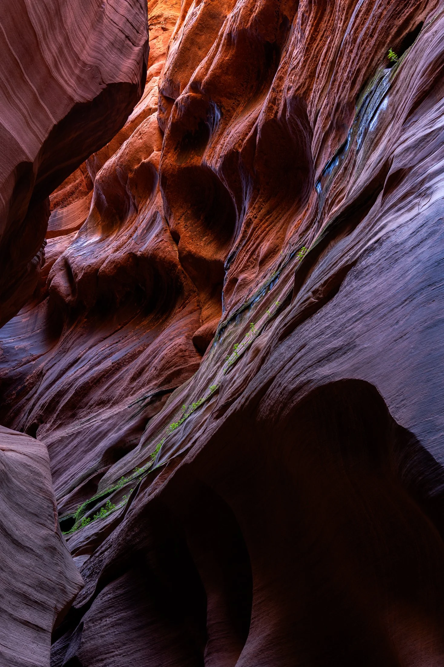
Buckskin Gulch, located in the Paria Canyon-Vermilion Cliffs Wilderness area, is the longest and deepest slot canyon in United States and possibly the world.
Marked by their sinuous carved rock, typically sandstone, slot canyons are often formed through water erosion over long periods of time, often coming from flash floods. This is what make hiking these beautiful canyons so dangerous. A storm from ten miles away can funnel into the canyon on a day with clear blue skies.
The plant growth on the side of this canyon is a unique sight. Small amounts of water and sunlight find their way to these plants allowing them to survive in this surreal environment.
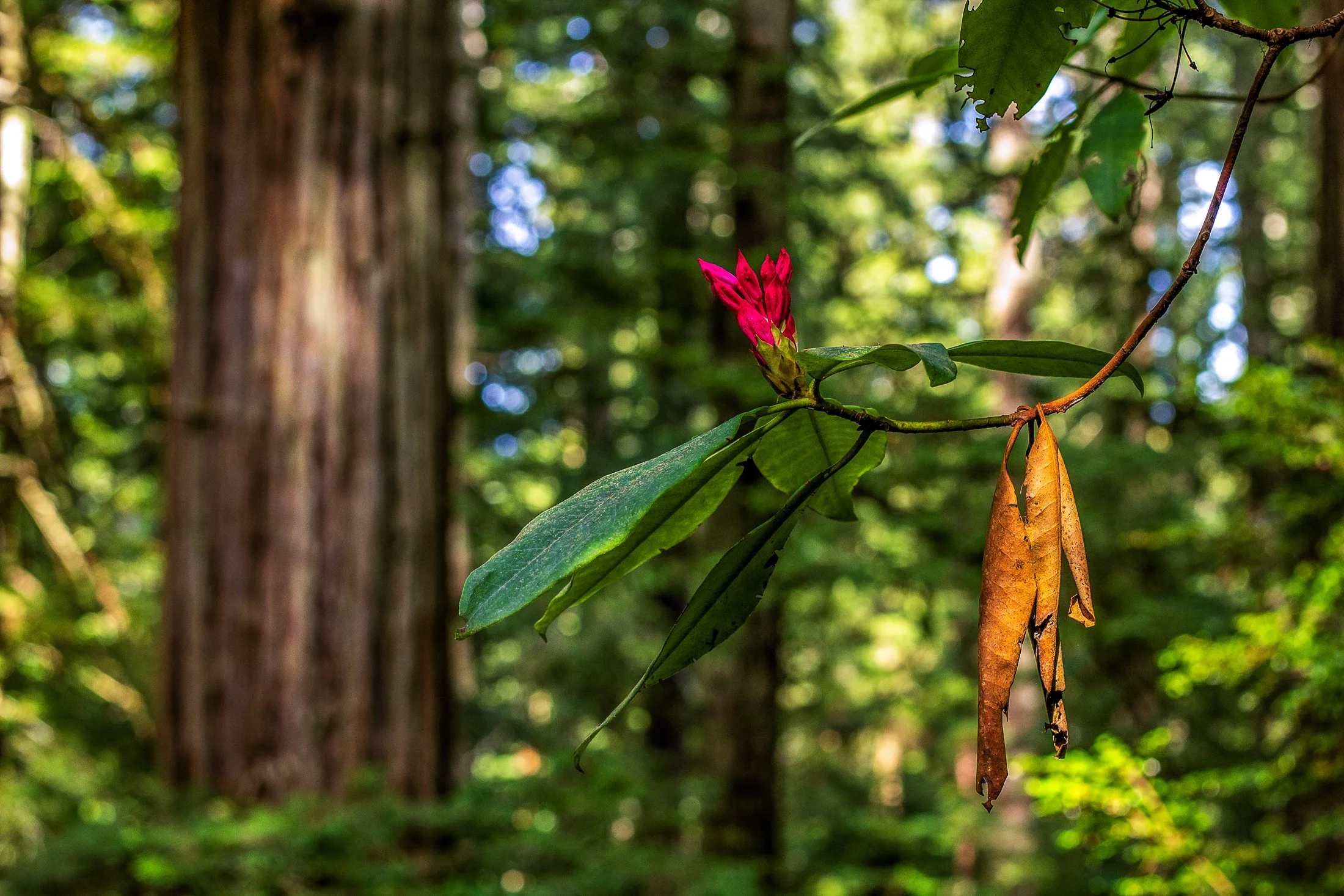
Humboldt County of Northern California is home to the southern section of the towering Redwood Forests which are conjoined effort of the National & State Park systems.
Contained within this section is the 31-mile world famous Avenue of the Giants. A mostly flat drive with gentle curves, passing secluded forest hamlets, campgrounds, picnic areas, and areas along the Eel River.
Offering extensive hiking trails, this was taken on a 5 mile loop, and finding this budding flower next to a dying leaf providing the perfect foreground to this vast redwood background.
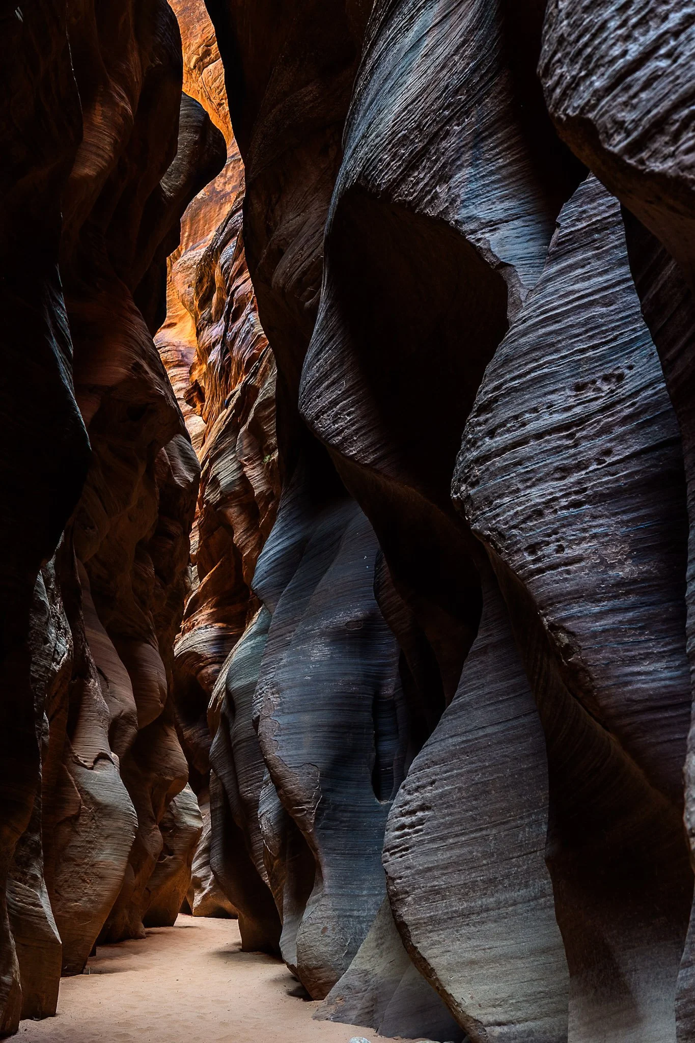
Buckskin Gulch, located in the Paria Canyon-Vermilion Cliffs Wilderness area, is the longest and deepest slot canyon in United States and possibly the world.
Marked by their sinuous carved rock, typically sandstone, slot canyons are often formed through water erosion, particularly flash floods. These are what make these beautiful canyons so dangerous, as water can be carried from a rainstorm many miles away leading to deadly flash flood during clear skies with no escape route.
Fairly deep into the canyon at this point, I had made sure to observed several weather apps before embarking. Two years earlier with only one day to hike it, I called off the hike due to a 1% chance of rain. I later found out that chance was responsible for flooded the canyon, trail, and road all the way to US Route 89, a distance of three miles.

A sunset over the Tetons is one of the most stunning views nature has to offer. One reason the Teton Range is famous is due to the dramatic prominence visible from the eastern side, which rises sharply from 4,000 to 7,000 feet above the valley floor.
Aerial debris will often obscure the Tetons during sunset leading to a fascinating ghostly form on the landscape, but when the air is clear the sunsets are incredible, accentuating the fascinating form of one of America’s greatest mountain range.
The mosquitos were in full force as I rushed to set up my tripod shortly after arriving at Grand Teton. I rented a rustic cabin (offered at the Grand Teton campsite), consisting of two unfinished cots and a fire pit. I drove down to the lake and set up this shot while providing a perfect meal for the skeeters.

Buckskin Gulch, located in the Paria Canyon-Vermilion Cliffs Wilderness area, is the longest, deepest slot canyon in United States and possibly the world.
Marked by their sinuous carved rock, typically sandstone, slot canyons are often formed through water erosion, particularly flash floods. This is also what make these beautiful canyons so dangerous, as water can be carried from a rainstorm several miles away bringing a sudden flash flood during clear skies with no escape route available.
I was amazed by the plants lining these walls, positioning themselves to receive the most light, showing again life’s ability to survival and thrive in the most unlikely places.
“The sky is the ultimate art gallery just above us.”
-Ralph Waldo Emerson-
On my drives across the corn belt, I’ve always been enamored with the lone trees among the endless fields.
Some say they are for markers for property boundaries, others that they were once a primary source of shade for farmers from a bygone era. Whatever the case, their air of mystery sits majestic among the expansive cornfields of the Midwest.