

Greens

Greens
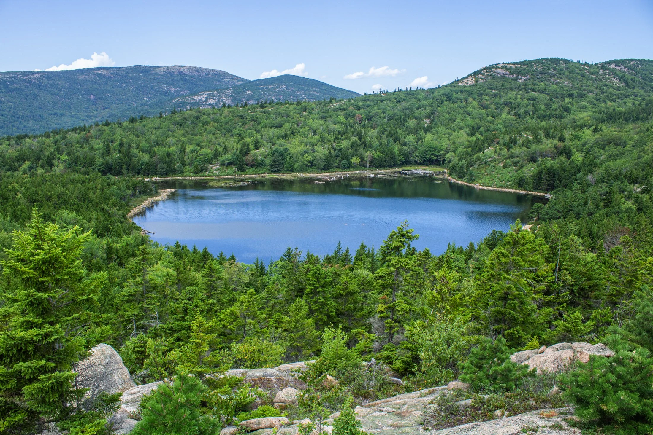
Acadia National Park, located southwest of Bar Harbor, is as picturesque as a national park can be. The varied terrain presents itself as one thing and then transforms into another. Known for its rugged coast and rocky cliffs, the national park offers a variety of hiking trails, loops, and climbs giving you a different perspective every direction you look.
This pond, known as The Bowl, was formed by glacial activity like many of the features in Acadia. This left a rounded, shallow basin surrounded by hills and rocky outcrops such as the one this photo was taken from.
Following a hike from our campsite a few miles away, we were able to avoid parking debacle Acadia is often known for. Climbing the precarious Beehive Trail, we were affording stunning views of the Atlantic Ocean on one side, and this picturesque lake on the other.
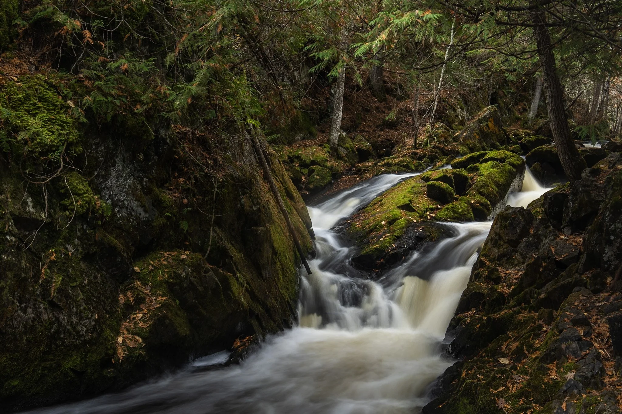
Smalley Falls, located in the Chequamegon National Forest of northern Wisconsin, is known for its serene and scenic beauty. Part of the Brule River, these falls are not as widely known as some of the others in the region, making it a particularly peaceful spot to visit.
The region is primarily composed of ancient Precambrian rock formations, some of the oldest on Earth, dating back about 1.6 to 2.6 billion years. Glacial till, which consists of a mixture of soil, clay, sand, and gravel, can be found in the area, deposited by the retreating glaciers that once covered much of Wisconsin. This sediment supports the lush vegetation and forest ecosystem surrounding Smalley Falls.
This particular composition required some scrambling and, again, careful positioning of my tripod legs on various levels of rocks to allow for the long exposure. This area immediately transported my mind to the lush forests of the Pacific Northwest, a site not often found in the Midwest landscape.

Enchanted Valley, dubbed the “Valley of 10,000 Waterfalls” requires a 15 mile hike through the Quinault Rainforest in Olympic National Park. One of the few rainforest in the United States, it receives 140-167 inches of rain per year. The precipitation leaves Olympic National Park with one of the most biodiverse ecosystems in the United States.
The Enchanted Valley Chalet at the end of the trail was built in 1931 and was originally meant to be a rustic lodge for hikers, eventually being used during WW2 to monitor potential Pacific Coast enemy threats. After the war it returned to its original purpose for backpackers and rangers.
The area is known for a surplus of black bears, and during our time there over two nights, we were mere visitors in their home. It is not the easiest thing to retire to your tent with a 400 pound black bear scrounging for berries outside it!

The Palouse region, located in southeastern Washington and extending into portions of Idaho and Oregon, was originally home to the Palus people, historically known for breeding strong horses, but the U.S. government did not acknowledge them as a distinct tribe in the late 1800s as settlers arrived under the Homestead Act.
Indigenous communities were displaced, and the land was drastically reshaped by agriculture. The region’s deep loess soil and steep terrain led farmers to adopt contour plowing, giving the fields their signature flowing appearance.
I raced the descending sun following a long drive from Seattle, arriving just in time to catch the sunset atop Steptoe Butte, the one elevated area among the farmland. I set up next to a group of amateur photographers taking a class led by a knowledgeable local — which brings me to an interesting detail about the Palouse: I only encountered two types of people there — farmers and photographers. There might not be a better place to learn photography.
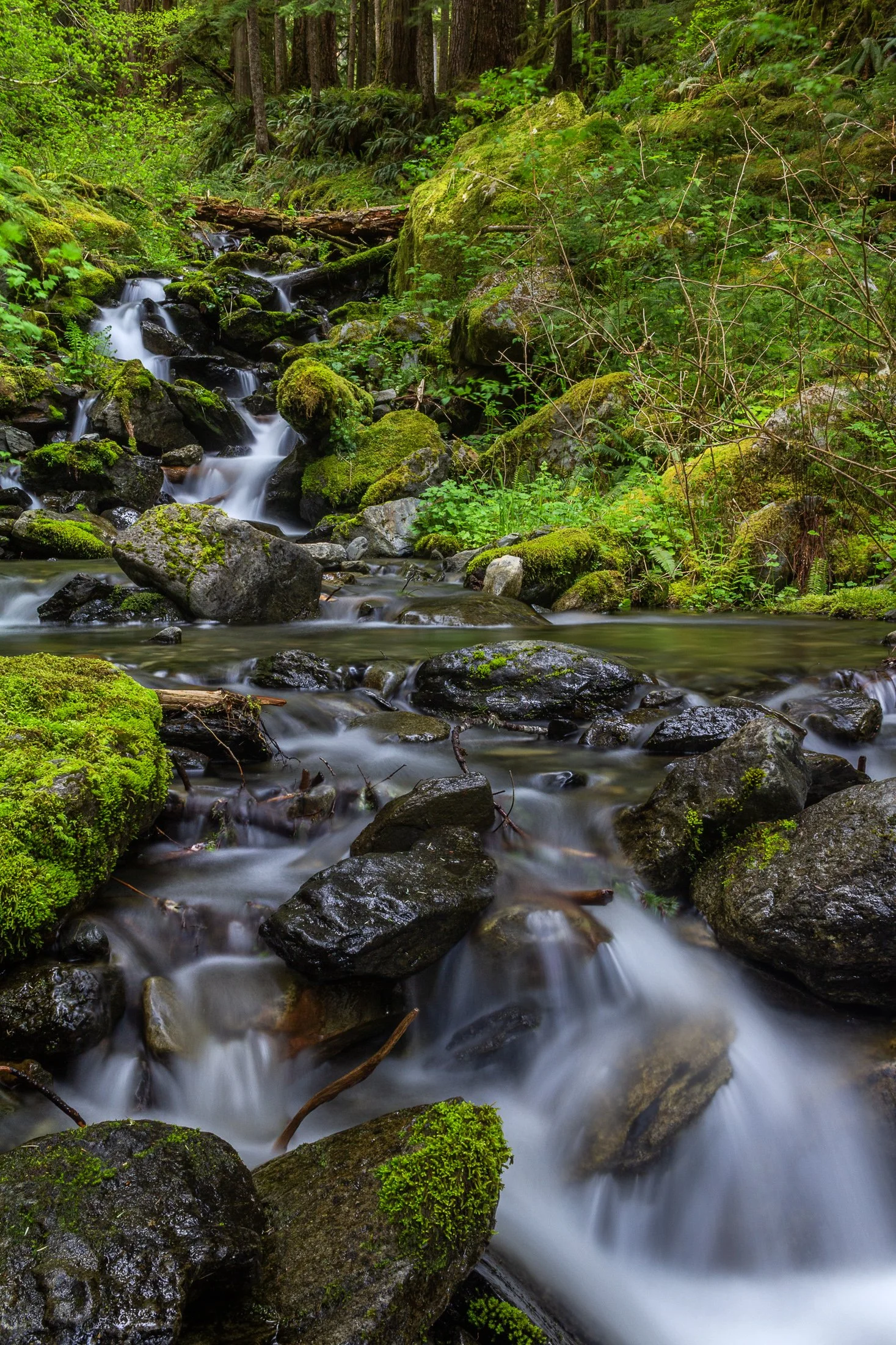
Enchanted Valley, dubbed the “Valley of 10,000 Waterfalls” requires a 15 mile hike through the Quinault Rainforest in Olympic National Park. It is one of the few rainforest in the United States, and receives 140-167 inches of rain per year. The precipitation leaves Olympic National Park with one of the most biodiverse ecosystems in the United States.
The Enchanted Valley Chalet at the end of the trail was built in 1931 and was originally meant to be a rustic lodge for hikers. Eventually it transformed into a monitoring station during WW2 to scout for potential Pacific Coast enemy threats. After the war it returned to its original purpose for backpackers and rangers.
The trail crosses many streams on the way to the chalet allowing us to forgo storing water for the hike while backpacking and instead drink the glacial melt from the streams via a LifeStraw. I have not tasted water better than that before or since.

The Palouse region, located in southeastern Washington and extending into portions of Idaho and Oregon, was originally home to the Palus people, historically known for breeding strong horses, but the U.S. government did not acknowledge them as a distinct tribe in the late 1800s as settlers arrived under the Homestead Act.
Indigenous communities were displaced, and the land was drastically reshaped by agriculture. The region’s deep loess soil and steep terrain led farmers to adopt contour plowing, giving the fields their signature flowing appearance.
Traveling through the Palouse region was an out of body experience. The word space took on a new meaning as I meandered through its rolling hills. This scene, found on one of the many gravel roads winding through the area, seemed to recall Bliss, photographed by Charles O’Rear in California.
Maybe Microsoft needs a new screensaver…
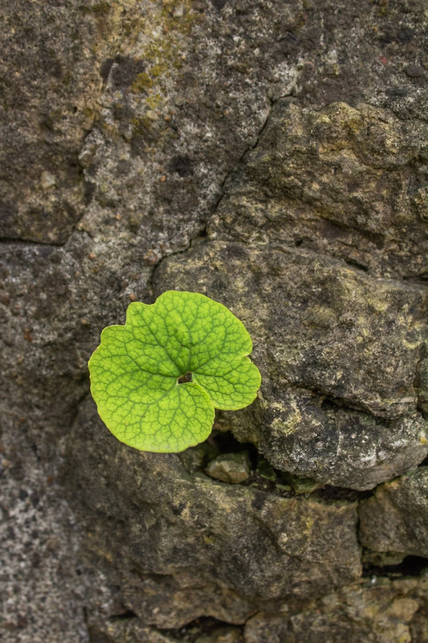
This photo was taken at the Hurstville Lime Kilns, located north of Maquoketa, Iowa.
Listed on the National Register of Historic Places, four kilns remain from the operation that supplied much of the Midwest masonry efforts during the late 1800s and early 1900s.
This one spec of green among a bed of stone immediately caught my eye, and I was fascinated with the way it somehow found its way through. Life always seems to find a way to adapt to its environment.

It was once of the most scenic stretches of railroad in the country. Winding through nine tunnels and over seven high steel trestles, the 15-mile route crossed the rugged Bitterroot Mountains between Idaho and Montana. It is known as the Route of the Hiawatha.
The route has now been converted to a rails-to-trails path but it was originally constructed in the 1890’s the railroad and connected the Eastern United States to the Pacific Northwest via the Northern Pacific Railroad. It was finally converted to a trail in the 1970s.
I rented a bike at Lookout Pass for the day, and while a big thunderstorm hung on the periphery, and caused some minor inconvenience. Biking through 10 pitch black tunnels with only a headlamp is an experience I will never forget.
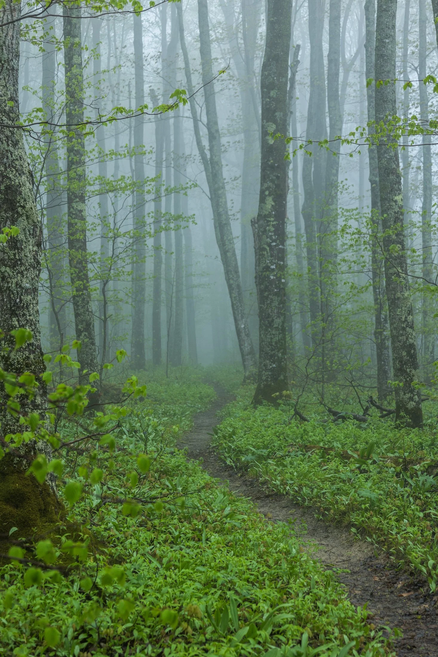
Pictured Rocks National Lakeshore, located near Munising, Michigan, already provides a stunning hiking opportunity for those willing to trek its bluffs, but in the early morning they can often take on a surreal atmosphere as the fog rolls in, transforming the area into a mystic forest.
This fog is often the result of the extremely cold waters of Lake Superior mixing with the warmer air from the land. As the fog rolls in, it muffles sound and adds depth to the already vibrant sandstone cliffs, creating a dramatic backdrop for an already stunning hike.
This particular photo occurred during an 11 mile backpacking trek along the cliffs, providing the one respite from a continuous onslaught of rain throughout the day. The experience of hiking through this atmosphere must be experienced, as this photo barely does it justice, but this winding trail disappearing into the fog serves as a glimpse into its magic.

The Palouse region, located in southeastern Washington, extending into Idaho and Oregon was originally home to the Palus people. The area was transformed in the 1800s as settlers arrived under the Homestead Act.
Indigenous communities were displaced, and the land was reshaped by agriculture. The region’s deep loess soil and steep terrain led farmers to adopt contour plowing, giving the fields their signature flowing appearance.
Traveling through the Palouse region was an out of body experience. The word space takes on a new meaning as you meander through its rolling hills. The vibrant colors and different stages of tilling make each turn unique. Finding the form and color of this hillside fascinating, I decided it was worthy of its own frame.
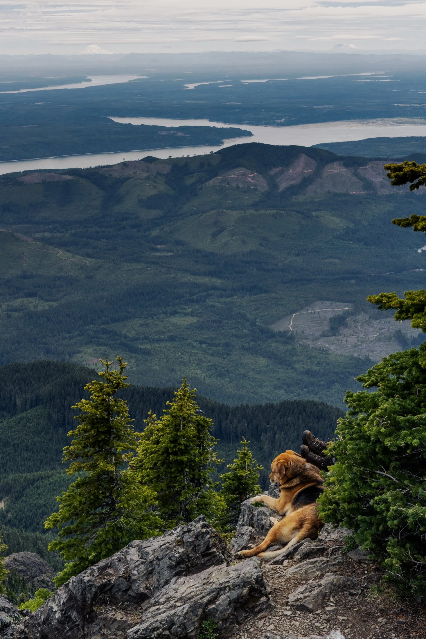
Mount Ellinor is part of the southeastern Olympic Mountains in western Washington state. The mountain is a beautiful one and shows clear signs of past glaciers.
During the ice ages, glaciers carved out the valleys and sharpened the ridges around the area. The views of Lake Cushman become even more amazing when you realize the whole area was shaped by ice and water
This particular photo was taken right after reaching the summit. On the way down I came across curious scene when turning a corner. The boots sticking out next to the owners dog felt like something out of a Dr. Seuss book. This quick snap reminded me dogs hike too.

It’s very difficult to explain the expanse and epic nature of Glacier National Park to those who have not been, and even more difficult to encapsulate it in a single photograph.
Glacier’s famous Going-To-The-Sun-Road is a marvel of American ingenuity and engineering and driving it is proof. Construction began in 1921 and finished in 1932, bringing with it tourism to the area.
While driving this majestic road, I found it difficult to decide where to stop. I was particularly enamored by the West Tunnel, and upon exiting the tunnel, I found this view looking out towards Mt. Oberlin. The scale was absolutely stunning and required multiple photos to stitch the entire view.

Wallace is fascinating quaint mining town with a rich history, located in the Rocky Mountain area of Idaho.
During the late 1800’s it was a thriving silver mining town but The Great Fire of 1910 almost destroyed it. Ed Pulaski, a fire fighter who saved the lives of all but one of his 42 man crew as well as 2 horses by navigating the ravine later invented the Pulaski tool, considered one of the most important fire fighting tools to this day.
I grabbed this photo while hiking this fairy tale trail that is unique in its presentation of signs as you hike telling the story of Pulaski rescuing his troop from The Great Fire by hiding in a mining tunnel. This tunnel is the final destination of the hike.
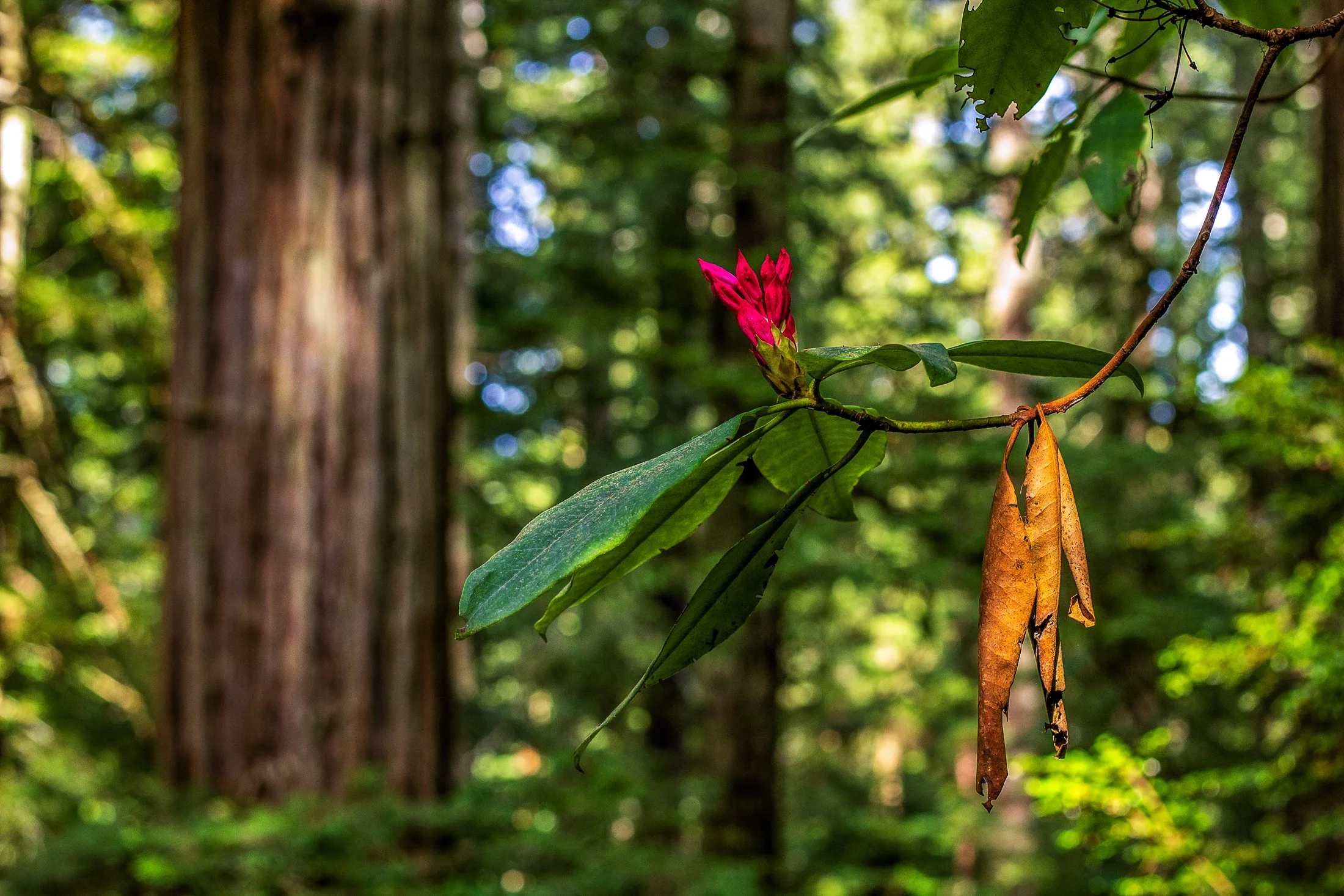
Humboldt County of Northern California is home to the southern section of the towering Redwood Forests which are conjoined effort of the National & State Park systems.
Contained within this section is the 31-mile world famous Avenue of the Giants. A mostly flat drive with gentle curves, passing secluded forest hamlets, campgrounds, picnic areas, and areas along the Eel River.
Offering extensive hiking trails, this was taken on a 5 mile loop, and finding this budding flower next to a dying leaf providing the perfect foreground to this vast redwood background.
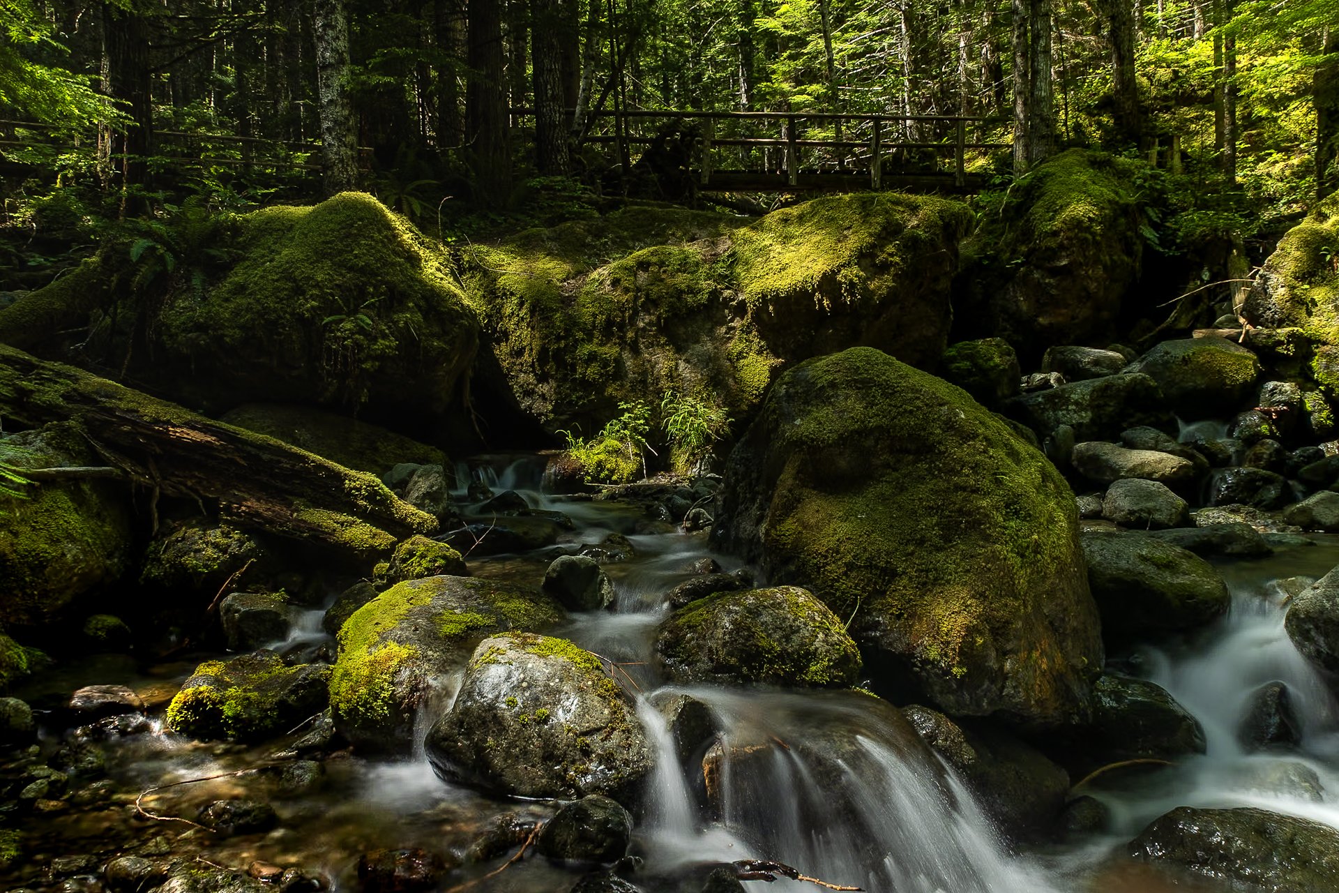
The Staircase area of Olympic National Park is a lesser known area of the park, tucked away along the southeastern edge of the park, near Lake Cushman. It’s known for old-growth forest, moss-draped trees, and multiple rivers flowing through.
This was my third time to Olympic National park and each trip continues to reveal more of its beauty. I stayed in a tiny home near Lake Cushman, which offered early morning access to the trails in the surrounding area.
This particular photo was taken on the Staircase Rapids Loop which follows the Skokomish River through the dense rainforest. Capturing both the cascade and one of the countless bridges crossing the river puts on display the sheer amount of greenery to be found in the only rainforest in the lower 48.
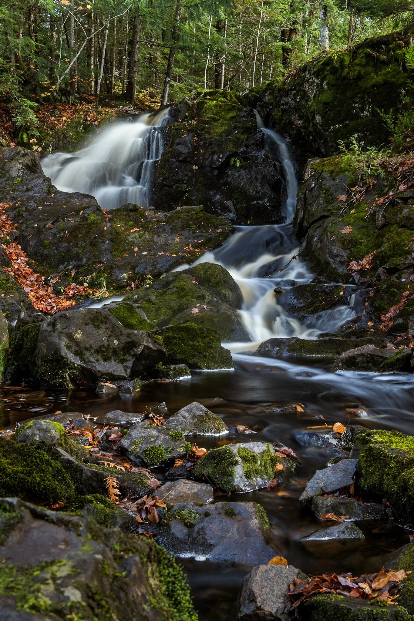
Located near Twin Lakes State Park, Wyandotte Falls finds its source from the Misery River in the Keweenaw Peninsula. The falls consist of a series of short cascades rocky ledges in a quiet, forested setting. The falls create an atmosphere that is reminiscent of a fairy tale forest.
This long exposure required the balancing of my tripod on the river rocks to get the composition that showed its varied pathways. Fall always adds something to a scene like this, and after chasing loud, roaring waterfalls all day, this was a serene end to the day.
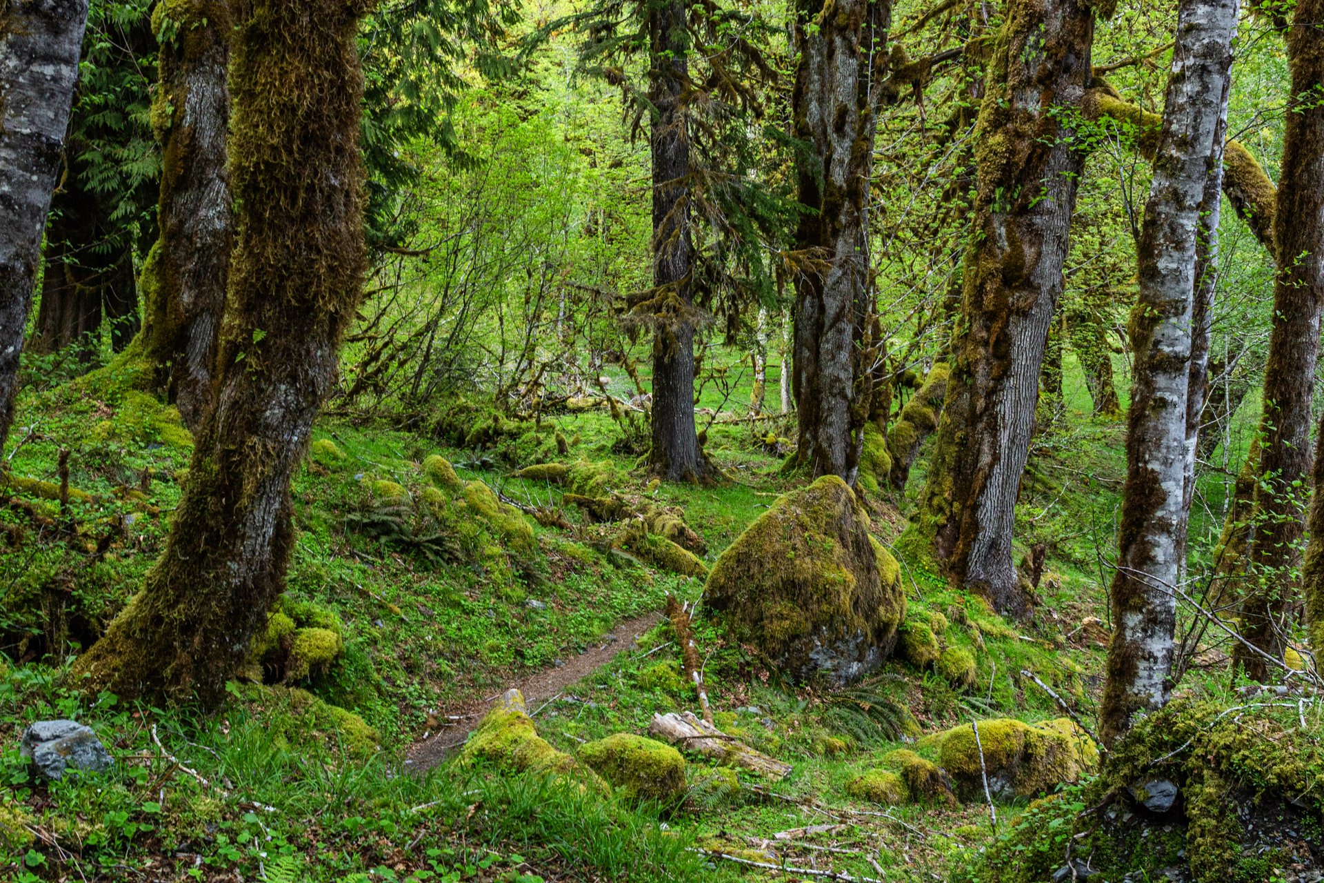
Enchanted Valley, dubbed the “Valley of 10,000 Waterfalls”, requires a 15 mile hike through the Quinault Rainforest in Olympic National Park. The rainforest receives a whopping 140-167 inches of rain per year. This precipitation allows Olympic National Park to maintain its incredibly biodiverse ecosystem.
The Enchanted Valley Chalet is at the terminus of the trail and was built in 1931. Originally meant to be a rustic lodge for hikers, it was used during WW2 to monitor potential Pacific Coast enemy threats. After the war it returned to its original purpose for backpackers and rangers.
The trail meanders along the river crossing many small streams on the way to the Chalet. Elk, bear, and marmots frequent the forest, rife with moss-laden trees, decaying logs with small trees growing out of them, and every type of green you can imagine. It truly is a fairy tale rainforest.
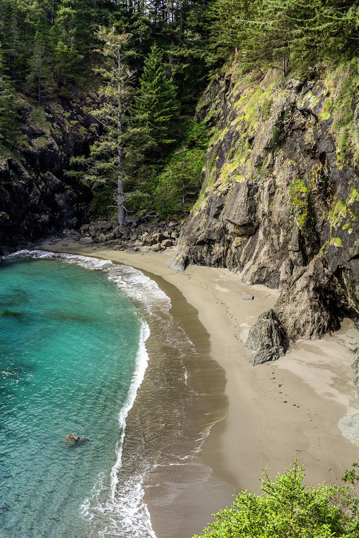
Samuel H. Boardman State Park, located along the southern Oregon coast near Brookings, Oregon, is renowned for its stunning coastal landscapes and diverse natural beauty. The park stretches for 12 miles along the coast, offering a variety of scenic views and ecosystems, from rugged cliffs to pristine beaches.
One of the park's most iconic features is its collection of sea stacks — tall, isolated rock formations that rise out of the ocean. These formations are often surrounded by crashing waves, adding to the dramatic beauty of the area.
While climbing out on to a precarious rocky perch with a 200 foot fall on either side to photograph some sea stacks, I noticed this beautiful cove to my right. It reminded me of something out of a Robert Louis Stevenson story where buried treasure might reside.
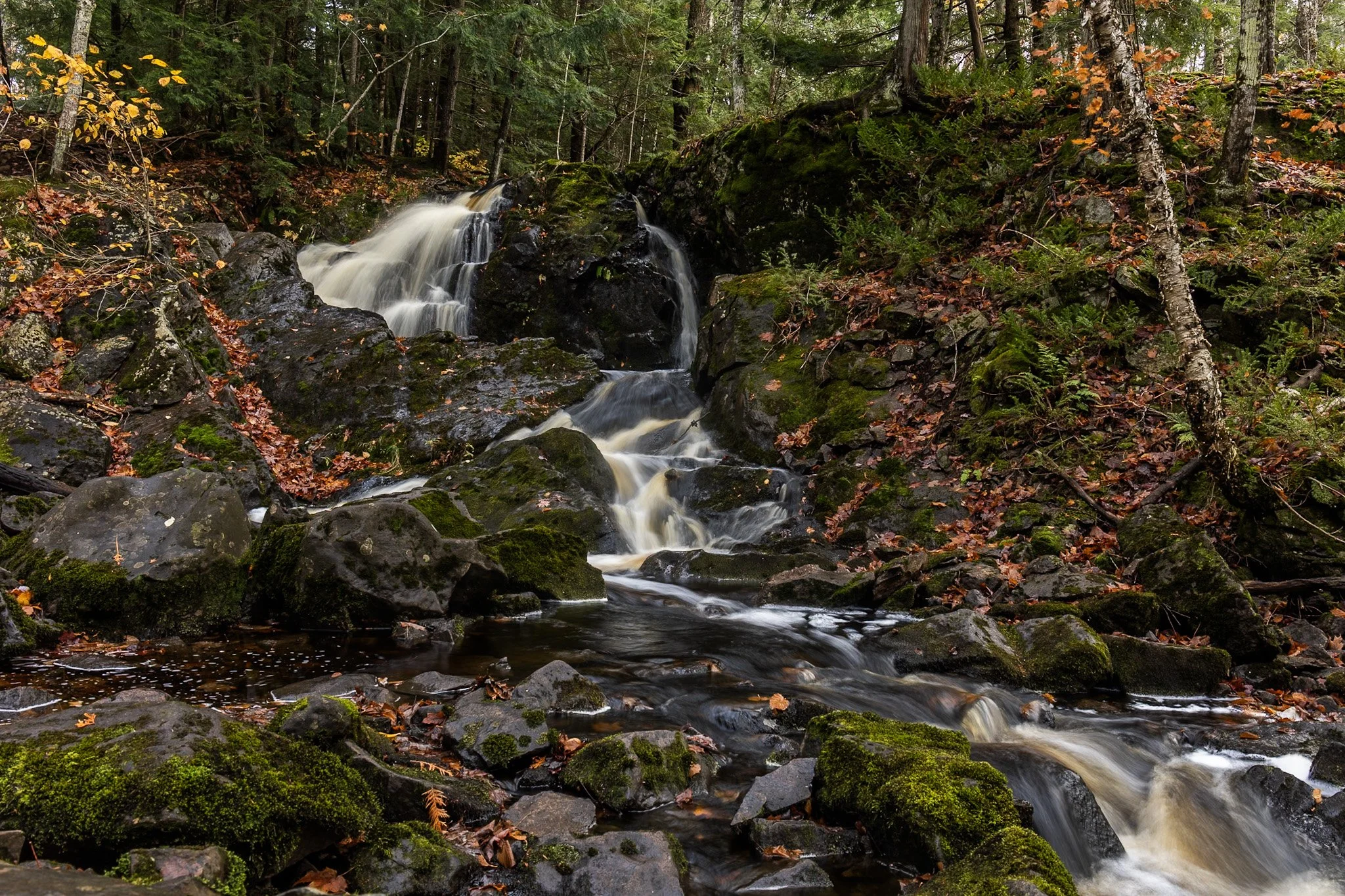
Located near Twin Lakes State Park, Wyandotte Falls finds its source from the Misery River in the Keweenaw Peninsula. The falls consist of a series of short cascades rocky ledges in a quiet, forested setting. The falls create an atmosphere that is reminiscent of a fairy tale forest.
This long exposure required the balancing of my tripod on the river rocks to get the composition that showed its varied pathways. Fall always adds something to a scene like this, and after chasing loud, roaring waterfalls all day, this was a serene end to the day.
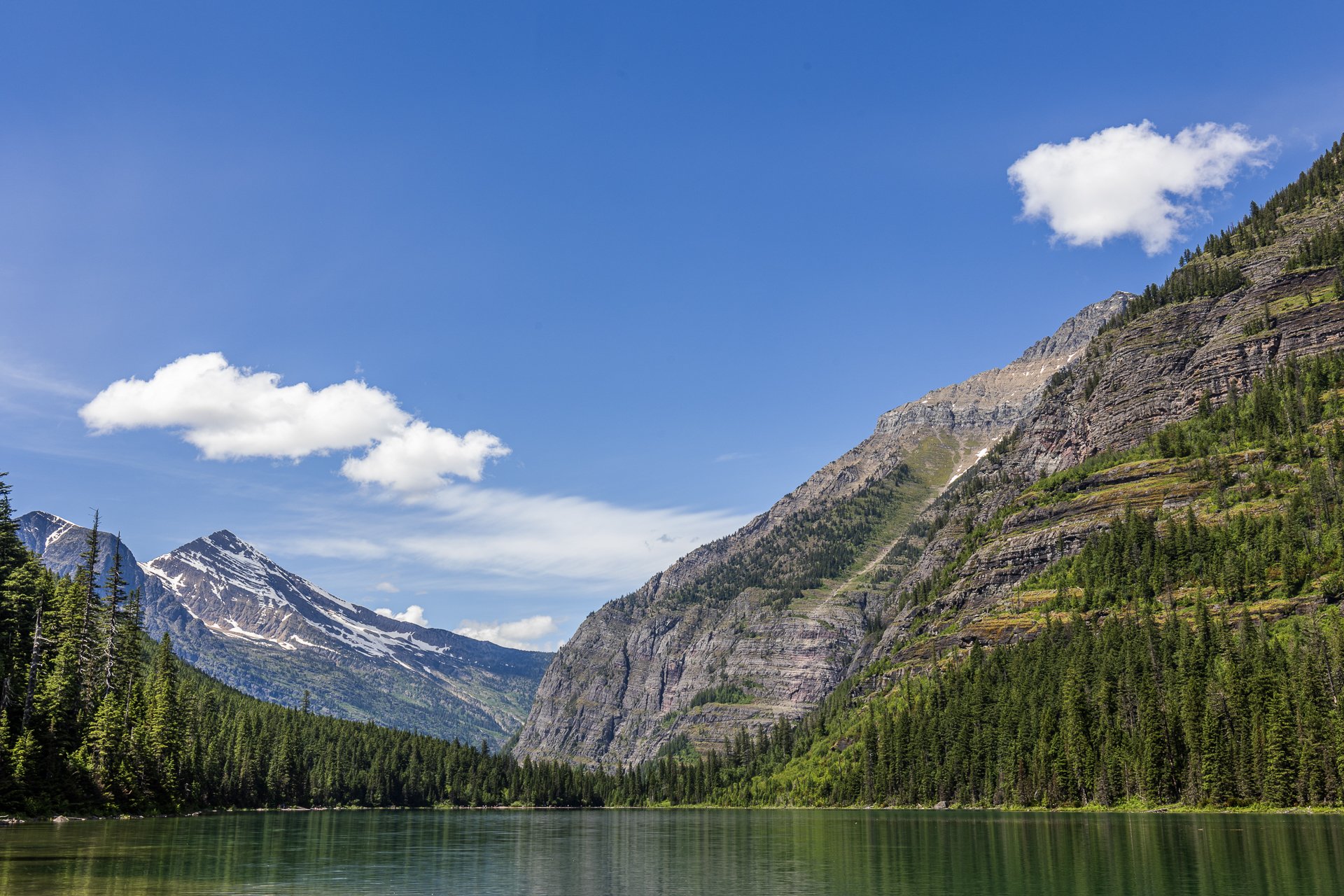
It’s very difficult to explain the expanse and epic nature of Glacier National Park to those who have not been, and even more difficult to encapsulate it in a photograph.
Avalanche Lake is one of the most popular hikes in the park, at 4.5 miles round trip, where you might have the chance to glimpse grizzly bears in their natural habitat. Named for the Avalanche Basin the lake sits in, avalanches are common in the winter and gives way to stunning view in the summer.
This photo required maneuvering into the wetlands, sacrificing a bit of dryness in my boots, and positioning my tripod on some rocks. When everything was set up, I was able to take in the magic of this area.
The cornfields near Polo, IL follow twists and turns as the land enters the Driftless Area. It is here where the sinuous and hilly terrain begin to take over. This area, and Illinois in general, is a very prominent agricultural hub for a variety of crops.
Previously a historic route to Galena, this picturesque area was rift with natural prairie prior to its transformation for agricultural purposes, but the beauty still remains.
This area is one I have visited often and will eventually be a part of a series when I capture the right fall photo. The composition of this lone tree set against the distant row of trees in the background shows what is possibly an old boundary tree isolated in a crop field.