

Fall
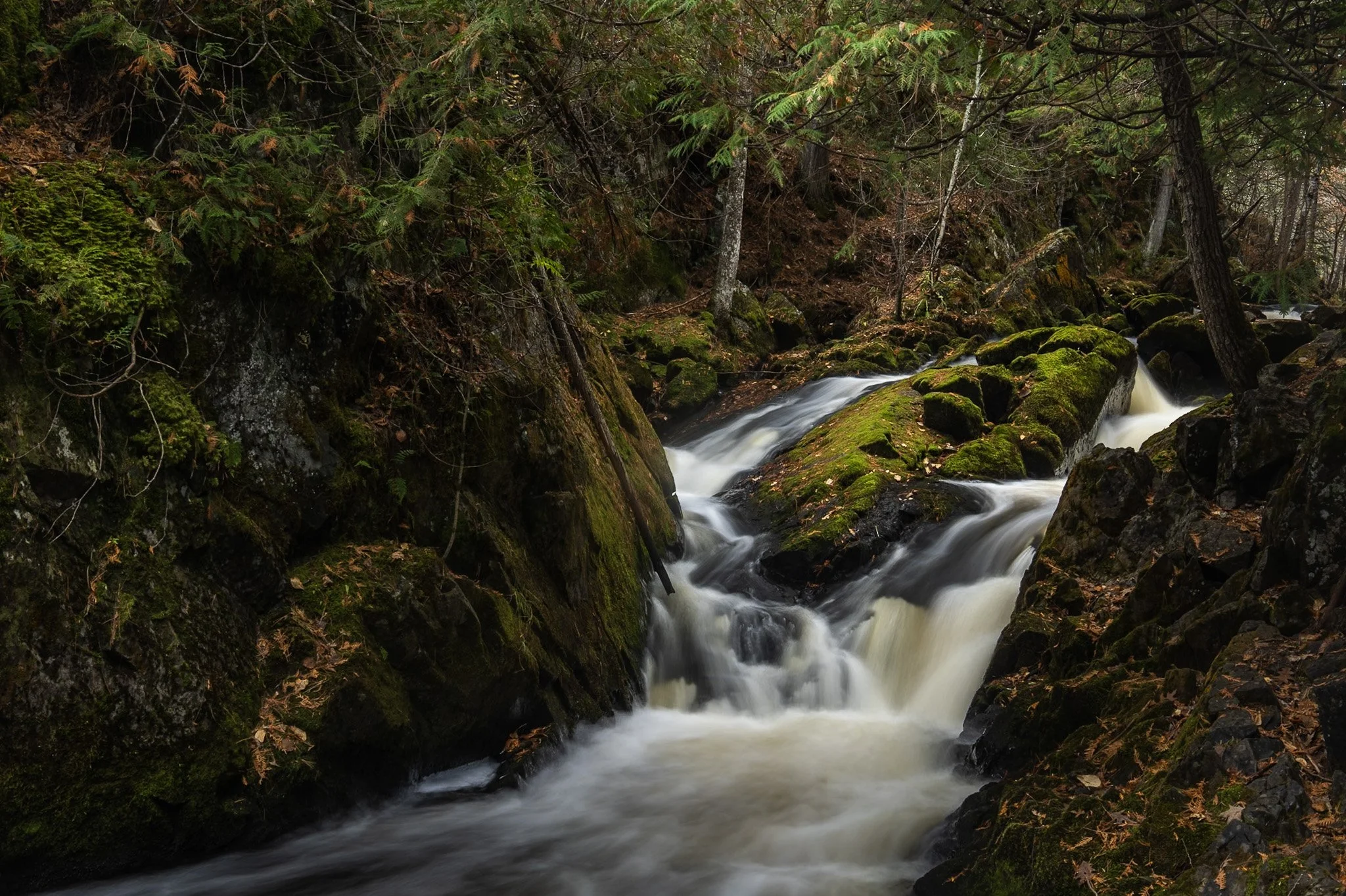
Smalley Falls, located in the Chequamegon National Forest of northern Wisconsin, is known for its serene and scenic beauty. Part of the Brule River, these falls are not as widely known as some of the others in the region, making it a particularly peaceful spot to visit.
The region is primarily composed of ancient Precambrian rock formations, some of the oldest on Earth, dating back about 1.6 to 2.6 billion years. Glacial till, which consists of a mixture of soil, clay, sand, and gravel, can be found in the area, deposited by the retreating glaciers that once covered much of Wisconsin. This sediment supports the lush vegetation and forest ecosystem surrounding Smalley Falls.
This particular composition required some scrambling and, again, careful positioning of my tripod legs on various levels of rocks to allow for the long exposure. This area immediately transported my mind to the lush forests of the Pacific Northwest, a site not often found in the Midwest landscape.
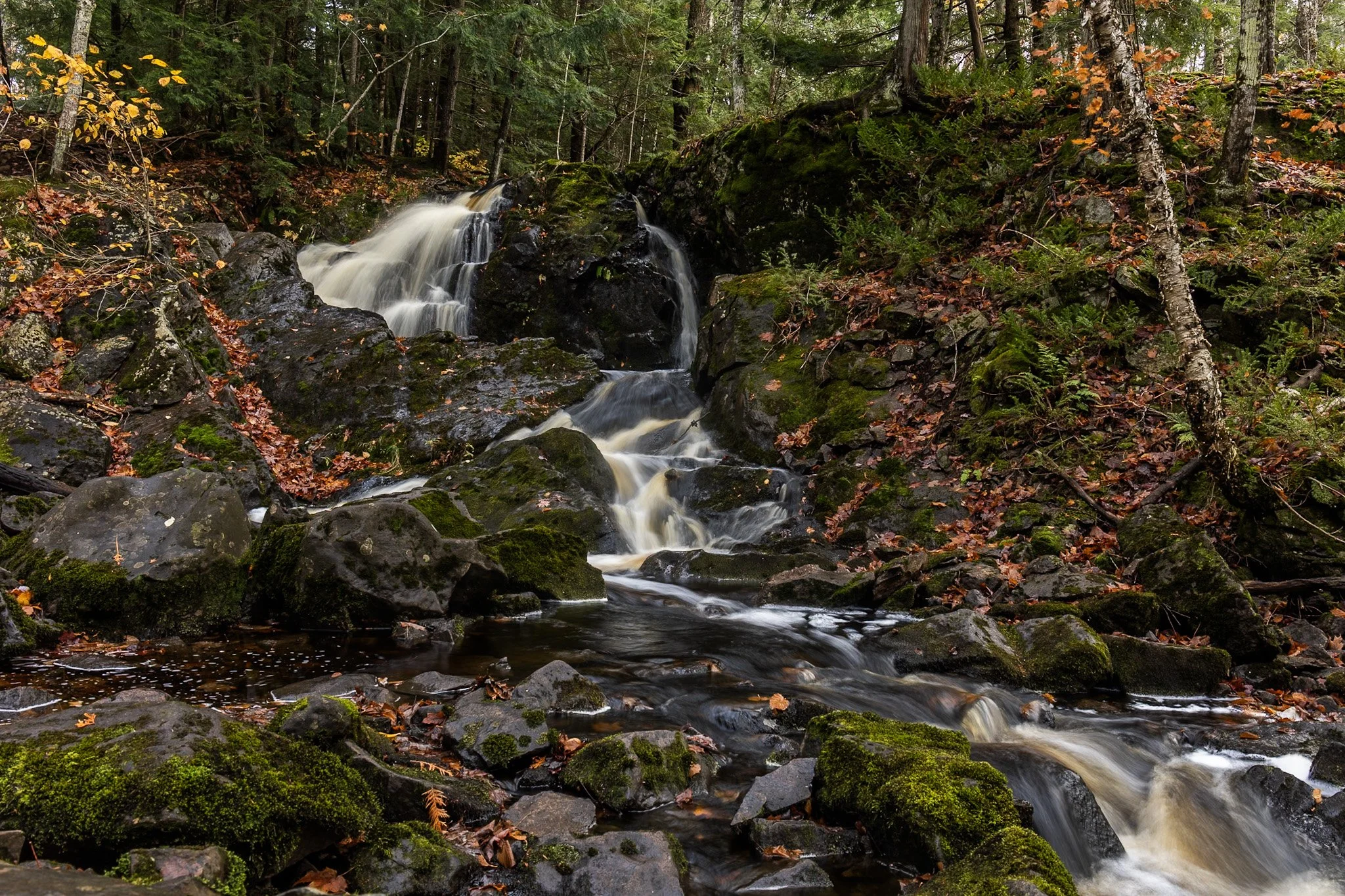
Located near Twin Lakes State Park, Wyandotte Falls finds its source from the Misery River in the Keweenaw Peninsula. The falls consist of a series of short cascades rocky ledges in a quiet, forested setting. The falls create an atmosphere that is reminiscent of a fairy tale forest.
This long exposure required the balancing of my tripod on the river rocks to get the composition that showed its varied pathways. Fall always adds something to a scene like this, and after chasing loud, roaring waterfalls all day, this was a serene end to the day.
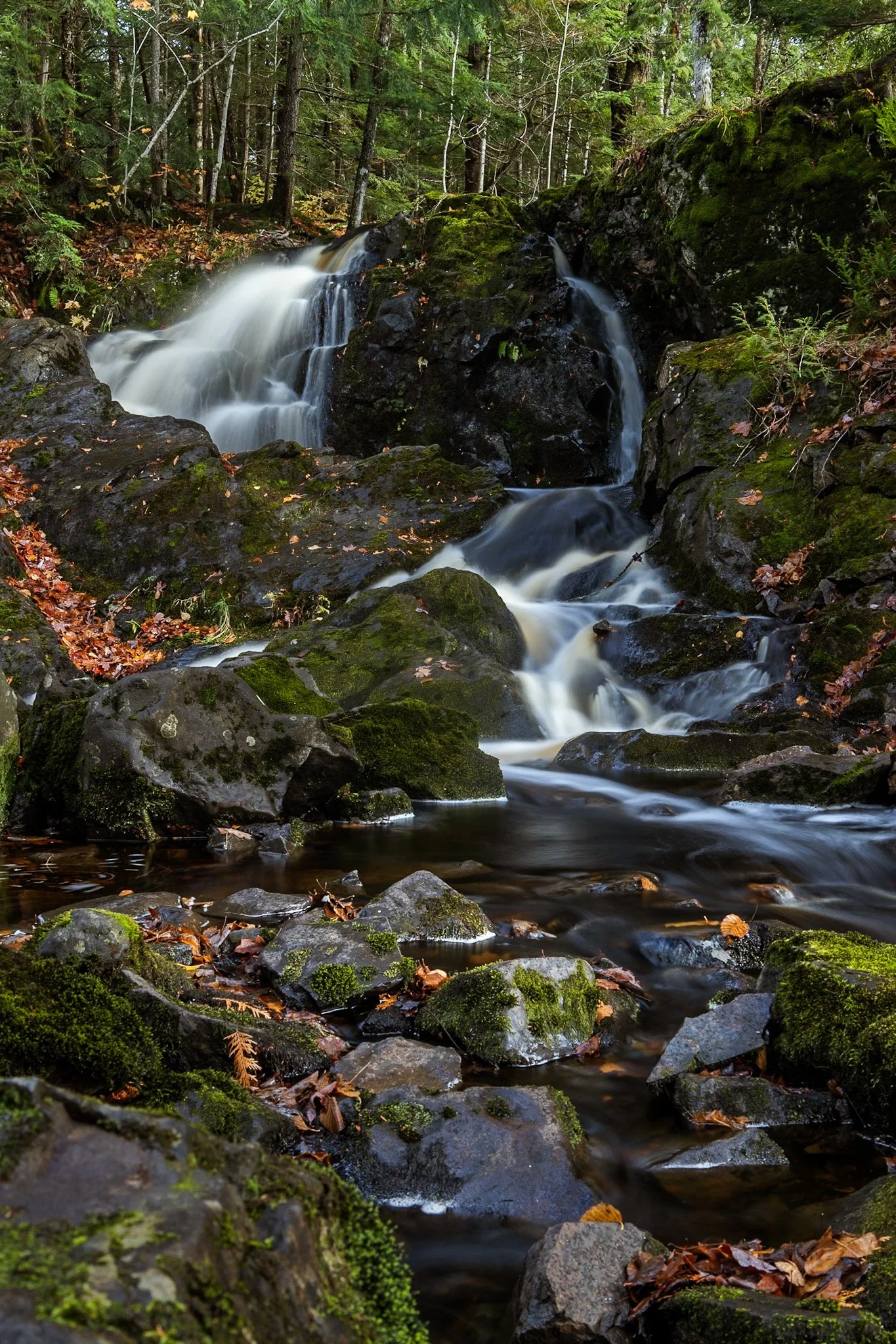
Located near Twin Lakes State Park, Wyandotte Falls finds its source from the Misery River in the Keweenaw Peninsula. The falls consist of a series of short cascades rocky ledges in a quiet, forested setting. The falls create an atmosphere that is reminiscent of a fairy tale forest.
This long exposure required the balancing of my tripod on the river rocks to get the composition that showed its varied pathways. Fall always adds something to a scene like this, and after chasing loud, roaring waterfalls all day, this was a serene end to the day.

Pictured Rocks National Lakeshore, located near Munising, Michigan, is known nationally as a tourist destination due to its dramatic bluffs overhanging Lake Superior, numerous waterfalls, and stunning fall foliage.
These bluffs, as well as the roads around Pictured Rocks, are accentuated by truly dramatic leaf color change for about two weeks in the fall, leading to a flock of photographers and tourists from all over the world.
Lake superior provided a the perfect complementary hue for these extremely saturated yellow leaves, a rare combination of color in nature.
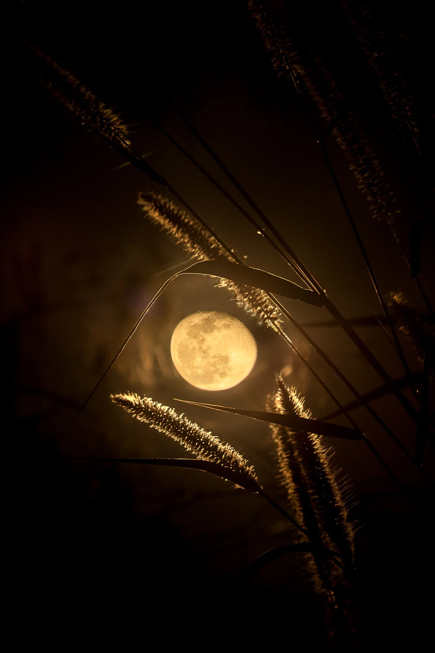
Everglades National Park is a park that reveals itself slowly, it requires those with patience and keen observation to see its true beauty.
Known colloquially at the “River of Grass”, the Everglades is one of the largest wetland ecosystems in the world. One of the only places in the world in which both alligators and crocodiles coexist, it also contains one of the largest mangrove forests systems in the world. But it’s true beauty is the sanctuary it provides for all manner of birds make it their home or migratory stopping point.
This photo was taken sitting around a fire at my campsite following a long day of kayaking through a mangrove forest strewn with alligators. Requiring the stitching of two photos, this is one of the few images I offer that was not captured in camera due to the nature of how depth of field works in a camera versus our eye, but the light and view was too good to not attempt to emulate what I saw.
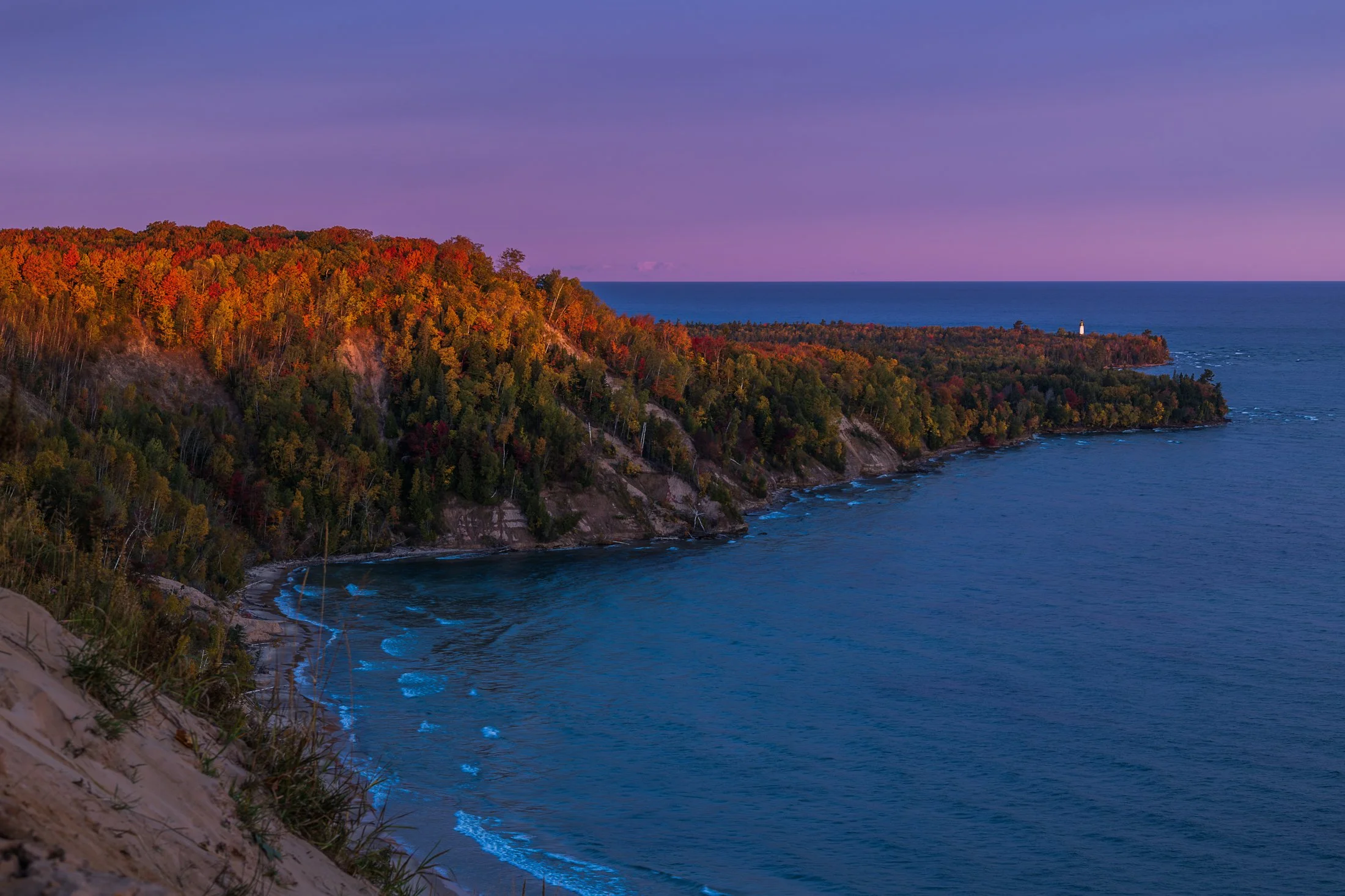
The fall colors of Pictured Rocks National Lakeshore are one of the marvels of the Upper Peninsula, especially in the early morning. Pictured here is the Au Sable Light, a lighthouse that was built in 1874 to prevent shipwrecks on Lake Superior.
The shoreline in this area is considered one of North America's most beautiful, but was once considered the most deadly areas for ships due to rocks under the shallow surface, violent storms, and frequent fog.
Requiring an early wakeup call, this photo involved positioning myself precariously on the shifting sands of the Grand Sable dunes before the sunrise. The changing color over the next hour was an amazing sight to behold as well as the moment the light broke across this stretch of coast.
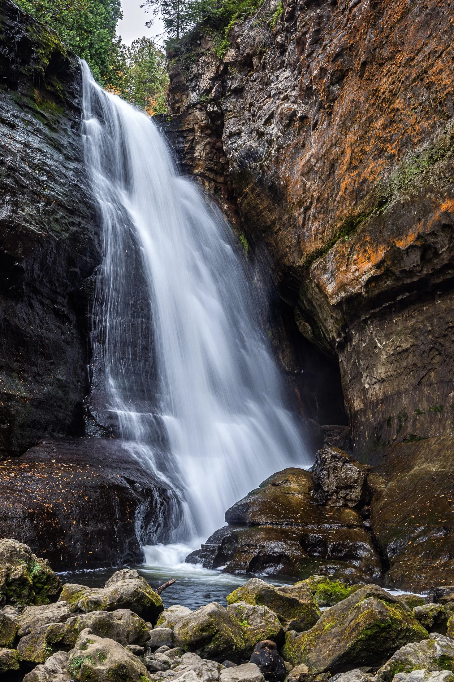
Pictured Rocks National Lakeshore, located near Munising, Michigan, offers up some of the best waterfalls in the Midwest. This, coupled with saturated colors during the dramatic fall foliage, make it a fall vacation spot for many a midwesterner.
The name Miners Falls derives from the local mining history around the area during the 19th century copper boom. The waterfall along with the nearby Pictured Rocks became a big tourist attraction following the decline of the mining industry there.
The continual downpour of this water was amazing to witness. While a fast shutter speed would have captured the pure force of this fall, I found the slower shutter speed revealed its picturesque beauty.

The Grand Island East Channel Light was constructed in 1867 by the United States Lighthouse Service to help ships navigate the dangerous waters of the East Channel of Grand Island, which has historically been a busy route for steamships and commercial vessels.
The area was notorious for shipwrecks during the 1800s due to the complexity of the navigation and the strong currents in the surrounding waters. Decommissioned in the early 1970s the Lighthouse remains as an iconic stop on Pictured Rock Cruises.
While taking the cruise, I positioned myself on the outside seats to grab this photo, requiring a quick shutter speed and precise timing to get this compositon.
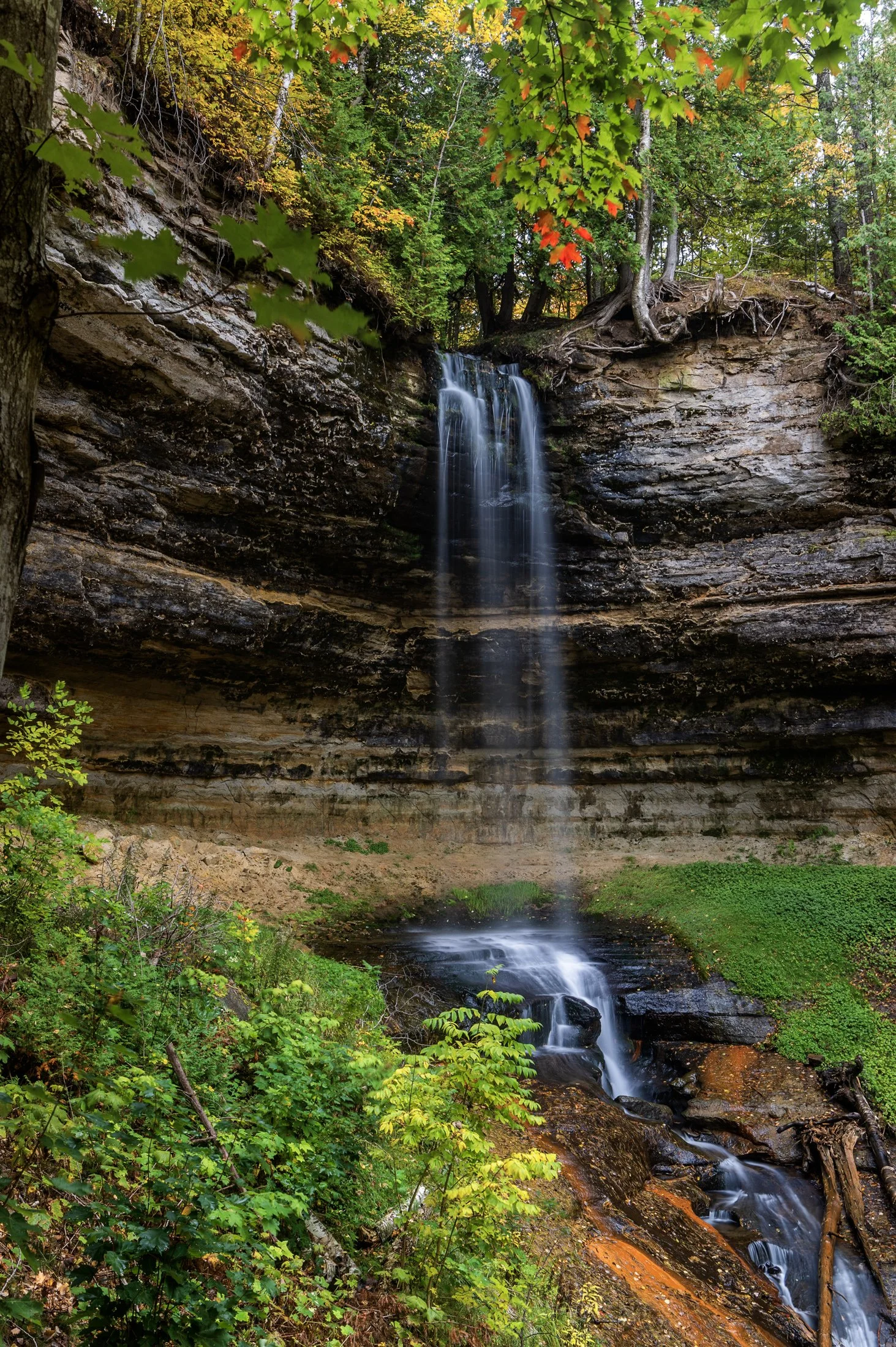
Pictured Rocks National Lakeshore, located outside of Munising, Michigan, offers up some of the best waterfalls in the Midwest. This, paired with the unbelievable colors that arise during peak fall season, make it a top travel destination.
Right near the town of Munising, the eponymous falls are easily accessible with a viewing area for all ages. A paved trail leads directly to the falls directly from the Pictured Rocks Visitors Center.
The peak foliage against these historically picturesque falls accentuated this long exposure, complimenting the beauty of the surrounding sandstone valley, formed through extensive periods of erosion.

The lone white pine on Chapel Rock, located in Pictured Rocks National Lakeshore is estimated to be about 250 years old. There once was an archway connecting the rock to the mainland but it collapsed in the 1940s.
Chapel Beach and the mouth of Chapel River is adjacent to Chapel Rock. The area invites hikers and boaters to linger, and a popular backcountry campground is found here, offering a secluded beach and access to many waterfalls.
After a long day of hiking, taking this sunset boat tour along Pictured Rock’s coast was a perfect way to end the day. It allowed stunning views as well as completely unique photographic perspectives not possible from the shore.

Pictured Rocks National Lakeshore and the surround area offer up some of the best waterfalls in the Midwest as well as countless other sights sprinkled throughout the area.
Mosquito Falls at Pictured Rocks National Lakeshore can be found while meandering on your way to the famous Chapel Rock. The falls are fed by the Mosquito River which draws from the area’s streams and swamps eventually emptying into Lake Superior.
This photo required some scrambling into the basin and then balancing my tripod legs precariously on different sections of a log, keeping my hands close by during the exposure in case it fell, a lesson I had learned years earlier photographing in a cave.

Pictured Rocks National Lakeshore and the surround area offer up some of the best waterfalls in the Midwest as well as an incredibly diverse ecosystem including huge cliffs, expansive beaches, towering sand dunes, rocky shores, and freshwater sea caves.
Mosquito Falls, pictured here, appears on the ten mile round trip hike to Chapel Rock. The falls are fed by the Mosquito River which draws from the area’s streams and swamps eventually emptying into Lake Superior.
This photo required some scrambling to get down into the basin as well as balancing my tripod legs precariously on a downed log, keeping my hands close by during the exposure in case it fell into the river from a small shake. A lesson from a mishap years earlier in a cave.
Lover’s Leap Arch, located in Pictured Rocks National Lakeshore, near Munising, Michigan, is one of the park's most iconic and photographed spots. The towering 200-foot cliffs and turquoise waters are often photographed from the local boat cruise and are rarely seen from this vantage point.
The cliffs colors, created by mineral staining, gives the area its "painted" appearance and inspiring the park’s name. According to Native American legend, Lover's Leap got its name from a heartbroken woman’s jump to her death after her lover’s failure to return from a journey.
Part of my 22-mile backpacking trip along cliff, this stormy day lead to Lake Superior’s waves continually crashing into the cliffs, often reaching their full height. These are the same storms that lead to the wreck of many ships, including the Edmund Fitzgerald.